Journal
The Pemi Loop
Possibly one of my favourite trails that I have had the pleasure to run along in the US so far. Sitting in the White Mountains and not far from Mt Washington this perfect loop is an epic challenge whether you run or hike. Sitting at 29 miles (47 km’s) and with almost 10,000ft (3,000m) of ascent including eight of the New Hampshire 48er’s above 4,000ft.
The Pemi Loop
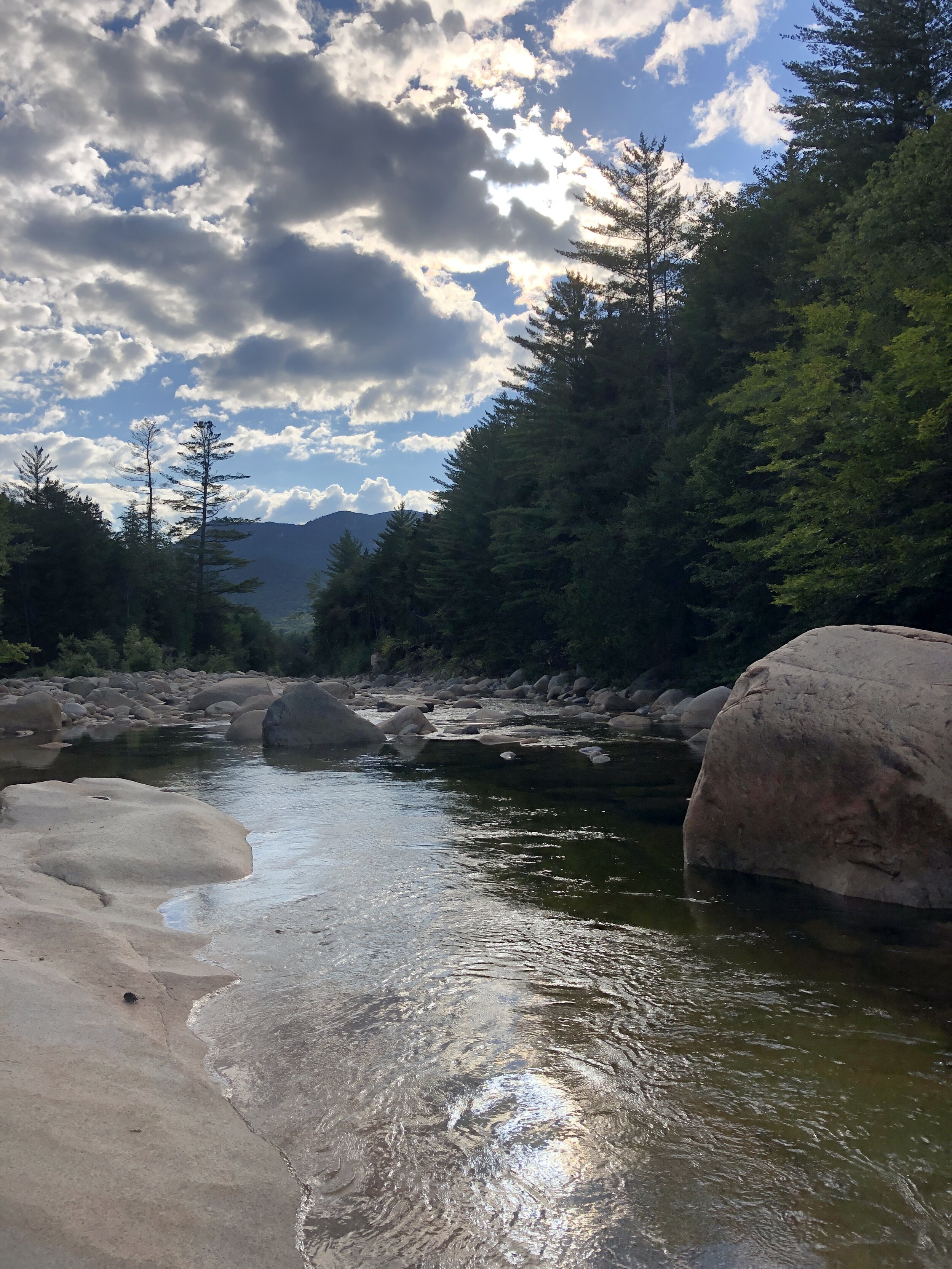
After the Press Traverse we had a pretty casual day recovering with a mixture of good food, a couple of beers at Schillings Brewery in Littleton (link to the brewery is here, it was definitely a worthwhile stop!!) as well as a short run along a river for an evening dip. Once back at the house we spent a happy evening with our supplies spread out across the floor as we worked through all the bits of kit, food and water that we would need over the 10 - 15 hours that it might take to cover the 29 miles. The normal guide is that the hike should take 20 hours normally split over 2 to 4 days where as the fastest time currently sits at 5 hrs 27 mins, there are now records for double pemi loops, super pemi’s and completing 14 of the 4000er’s via the pemi loop. If you are interested check the records out on the link Pemi FKT.
After yet more food and an early ish night was in order for the early start the following morning.
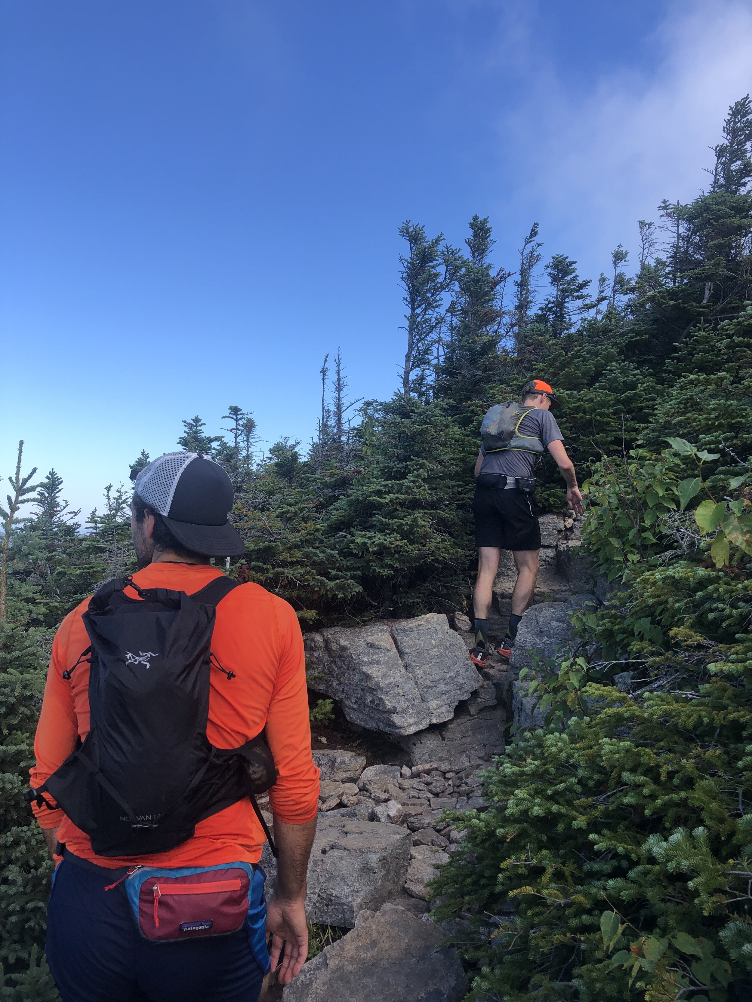
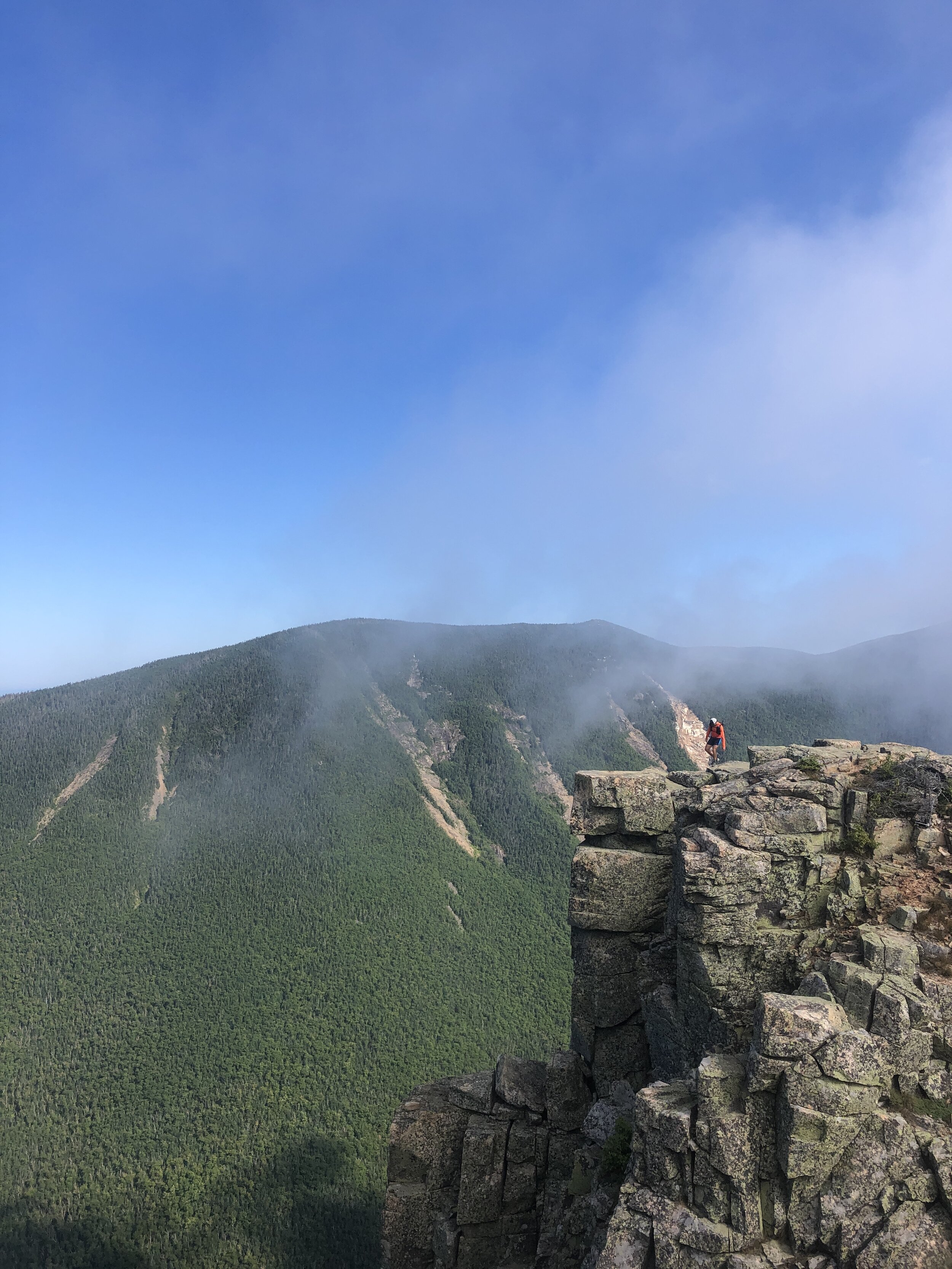
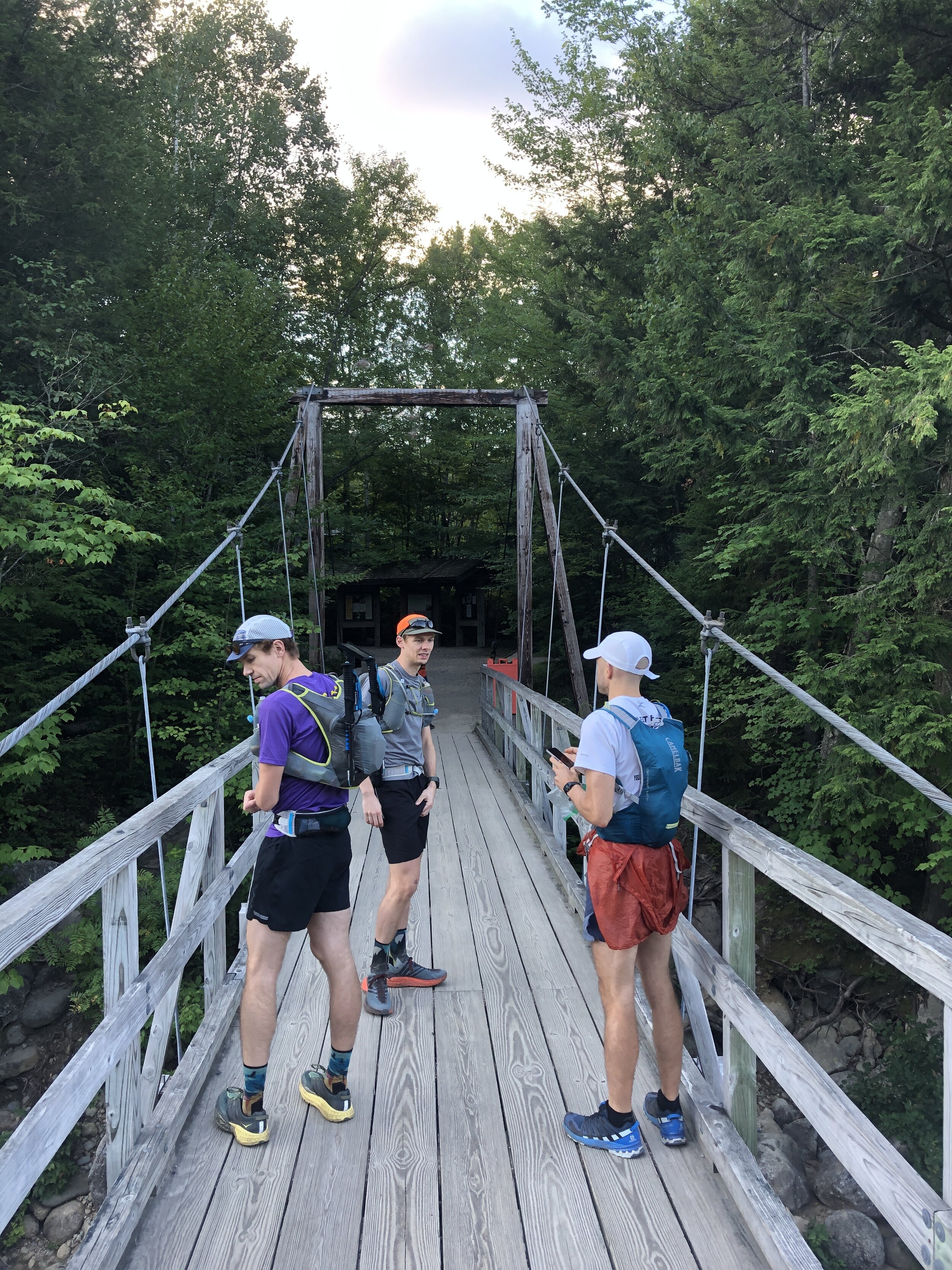
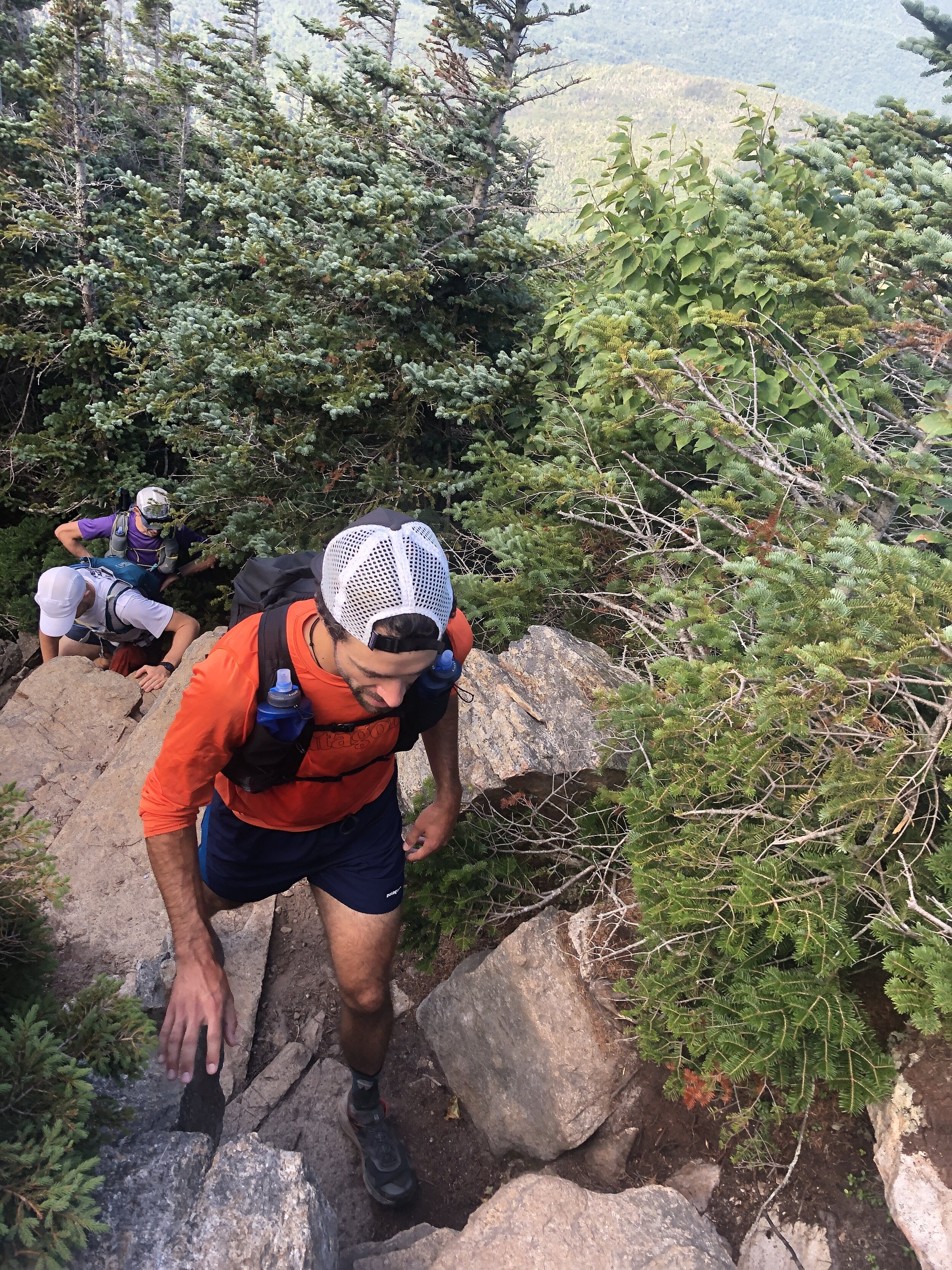
The plan was to reach the trail head around 7 am with us trying to maximise the amount of daylight on the trail. The first difficulty of the day was finding parking as despite our early arrival all the spaces were already filled along with a significant amount of parking going on up the main road. After a walk to the starting area we arrived at the bridge that marked the start of the trail, we took a few pictures before heading on up the trail. We were doing the route in reverse as we wanted to run what we thought to be the more challenging section out the way first. First up was a few miles of no climbing where we made quick progress dodging between groups headed along the pine covered trail, the scent of pine trees in the crisp morning air. The slightly bouncy surface felt like we could run for days on. The climb came to a rather abrupt beginning with a steep and rocky climb up into the mountains. Making progress bit by bit up the mountain towards the first summit of Bond Cliff standing at 4265ft ( 1300m) followed shortly afterwards by Mount Bond 4698ft (1432m). We arrived above the tree line to incredible views, blue skies and wispy clouds drifting over the summits. The views were mind blowing. One of our group made his way towards a cliff edge to check out the climbing potential. Some slightly wobbly runners legs making him think otherwise about going too close to the edge. First summit down and onto the next.
History: Mount Bond (part of the trio of Bondcliff, West Bond and Mount Bound all of which are official 4000 footers) was named after Professor George Bond from Harvard University an astronomer who in 19th Century suggest the use of photography to measure a stars magnitude. He also surveyed the White Mountains.
In comparison to the presidential traverse the trail was a beautifully carved out trail at this stage in the journey we moved along at a good pace as a group following the ridge line round the rim of this huge bowl all the while being able to see our final peak of the day. I have historically not enjoyed seeing the finishing point of a run but the spectacular views more than made up for the fact that the final summit teased us with our progress. Our pace ebbed and flowed with the difficulty of the terrain. The route skirted round Mount Guyot 4580ft (1396m), there was a bit of me that wanted to add these additional peaks onto the route for the day, I have since learnt about routes such as the super pemi that do. A tempting challenge for 2021.
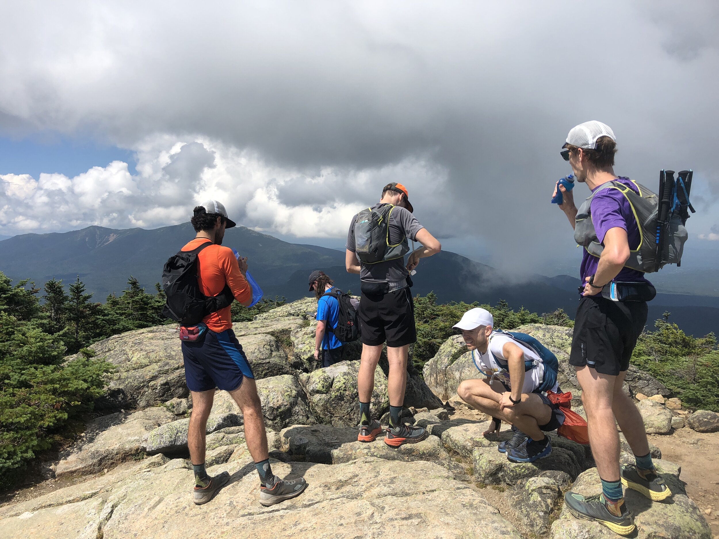
History: The mountain is named after Professor H. Guyot from Princeton University who was a geologist and geographer. The mountain is not an official 4000 footer due to its height above the col to South Twin Mountain.
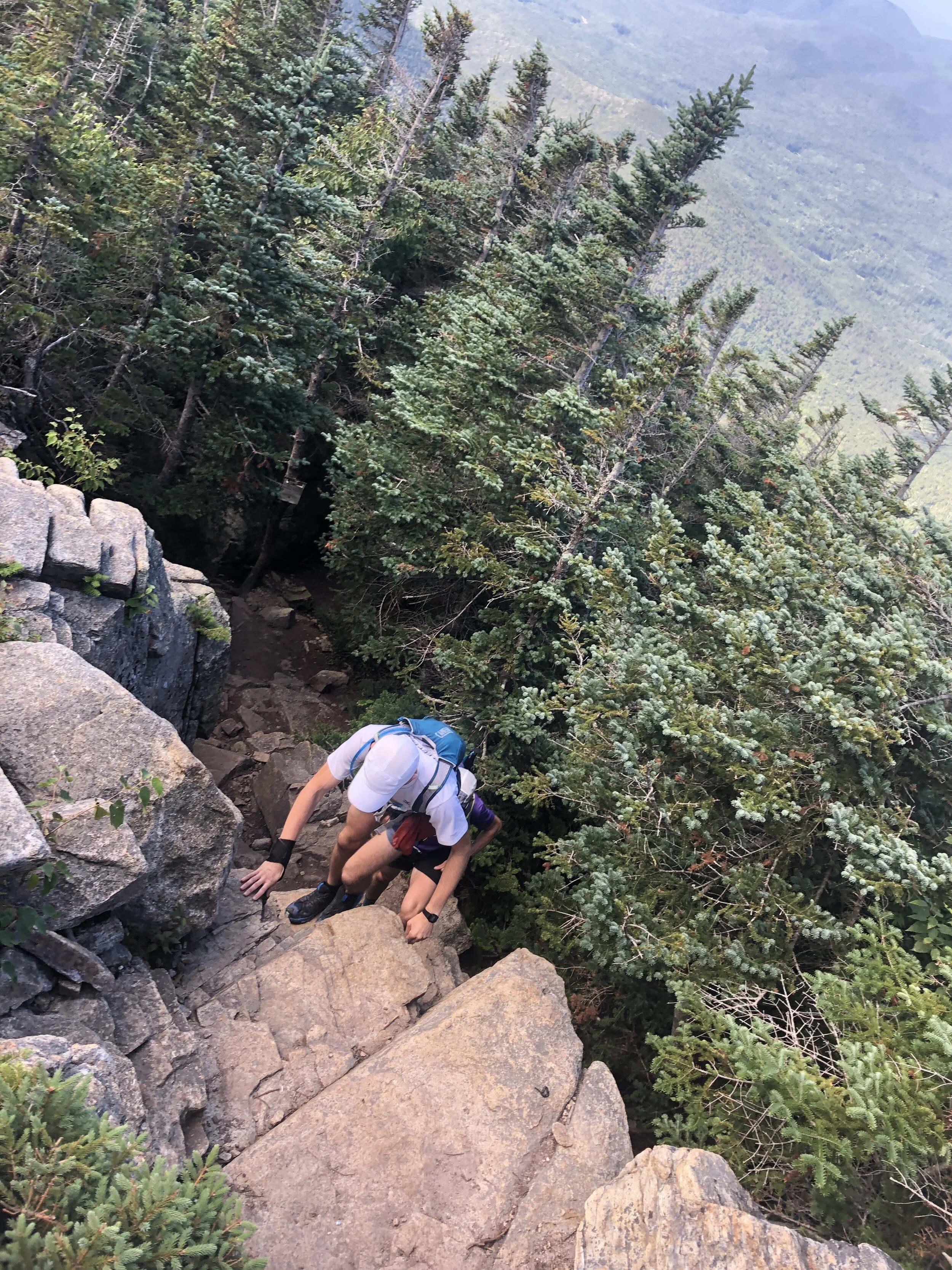
The next section was the make or break for the day with the route becoming more and more technical all the way to South Twin Mountain. Our pace slowed as we tried to be as delicate as possible hoping between rocks and roots. We started coming across more people who had been camping over night and beginning to make their way round the remainder of the trail. The thought of carrying a large pack on some of the terrain made me appreciate the light and fast approach we had taken. We were still making good progress and I was feeling really good despite having run the Presidential Traverse a couple of days before (you can read about that on this link ). We were also running as a larger group which made for a great run and at least for this first half everyone seemed to be happy with the speed and approach to sticking together.
We reached the summit of South Twin Mountain 4902ft (1494m) but given the length of the day we didn’t pause for long and made the dash towards Gale Head hut.
Quick fact: South Twin Mountain sits on part of the Appalachian Trail that runs 2,170 miles from Georgia to Maine. I still have no idea how the likes of Karel Sabbe, Scott Jurek, Karl Meltzer, Joe McConaughy and Jennifer Pharr-Davis completed the route in under 50 days. Mind blowing the speed and endurance these athletes have.
After this summit the route dropped down considerably towards the hut marking our midway point, it was here that the rocks and rugged terrain really took a bit of a toll on the team. I used the last of my water coming into the Gale head hut, perfect timing. We paused here surrounded by other runners and hikers topping up on food and water. Greg grabbed a burrito, I grabbed a brownie for the trail. Meanwhile some of the guys were patching up their feet for the second stage of our run. The sun was out and beamed down on us all as we sat soaking in the rays. It was time to head on and make the most the the day light as we all wanted to minimise risk of spending any time running in the dark. It was this second section where the groups pace differed a little and we naturally broke into two groups as the trail meandered up and down towards the next summit of Mount Garfield 4413 ft (1345m). It was here that the weather started to turn with clouds beginning to build all around us. We had been incredibly lucky with the weather so far on this trip and I was wondering what would be more pleasant sunshine or a touch of rain to cool us down as we ran along. I should have spent my time wishing for the sunshine!
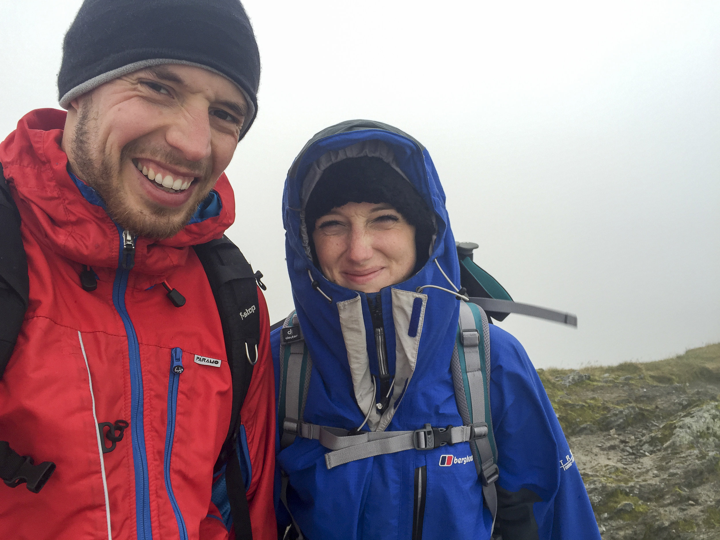
Summit number four complete and now it was time to head onto Mount Lafayette 5249 ft (1600 m). It was here that the number of people out on the trail started to increase and the weather began to really turn. Clouds started to lower over the summits covering them in a veil and as we made our way up a number of false summits the wind and rain started to pick up. Donning jackets to stay slightly warmer, we made our way carefully up the rocky mountain. Behind and below us we were trying to pick out the coloured jackets from Andy and Greg but we couldn’t make them out and in the cold, wet weather we made the decision to continue a head on to stay as warm as possible. Making the summit and there were crowds of people, despite the relatively quite trails to this point the numbers of people were incredible as was the fact that many had minimal gear to deal with the now very different conditions to the beginning of the day.
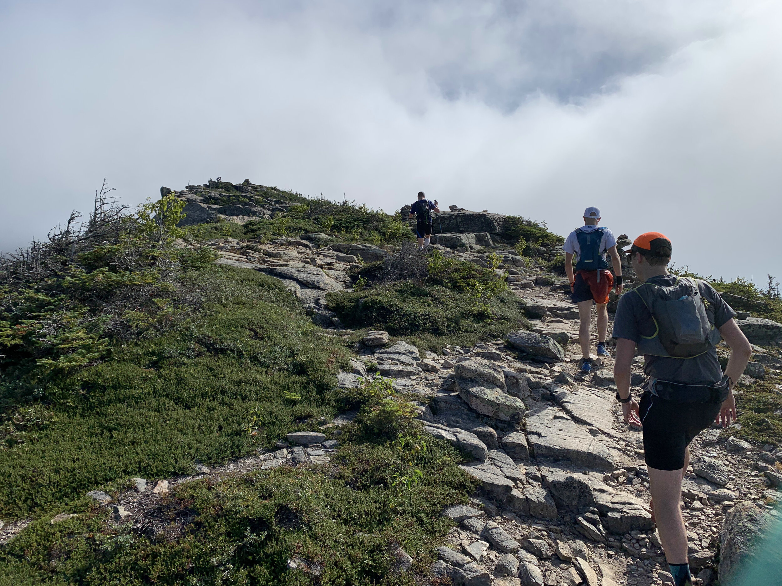
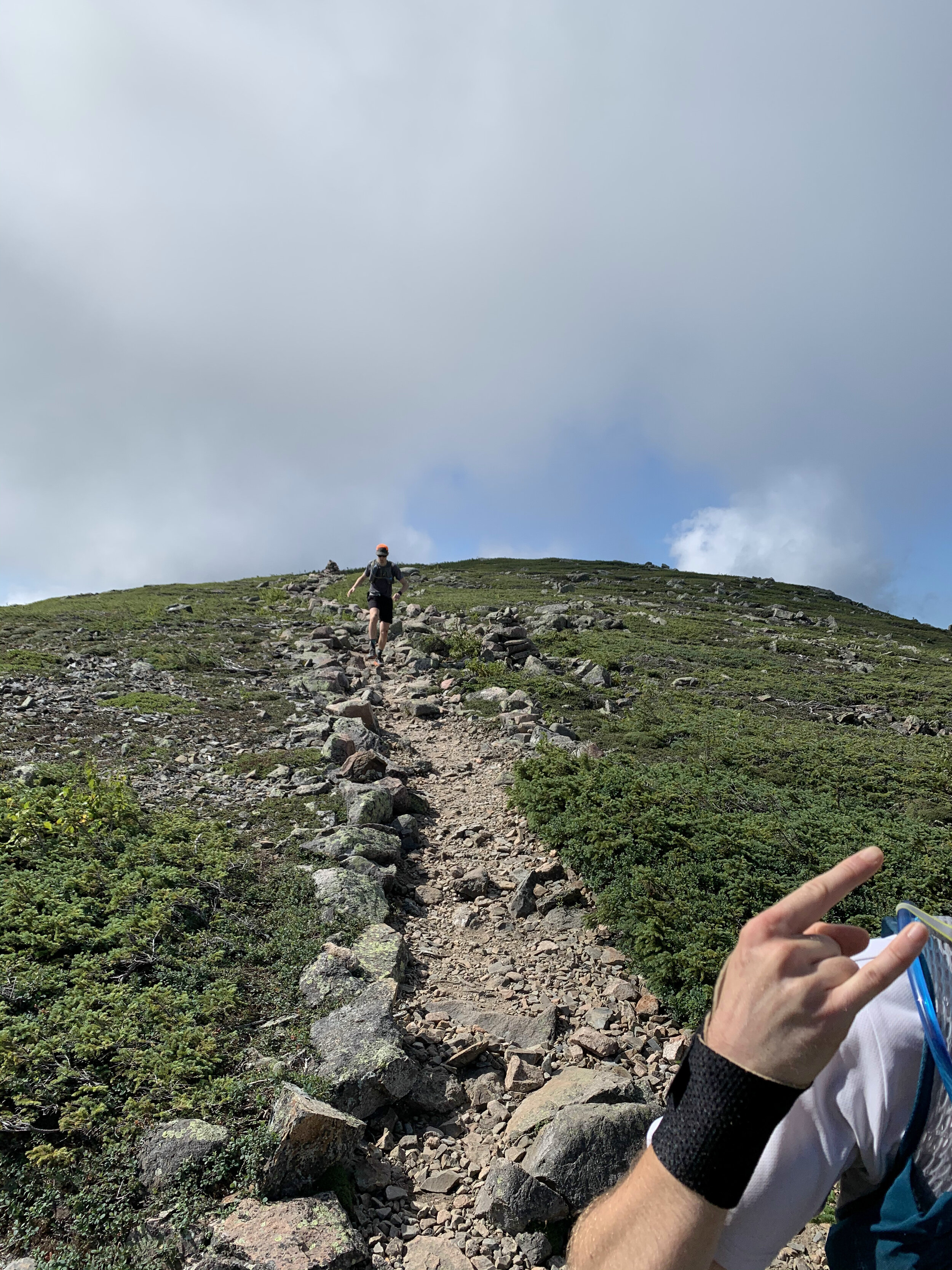
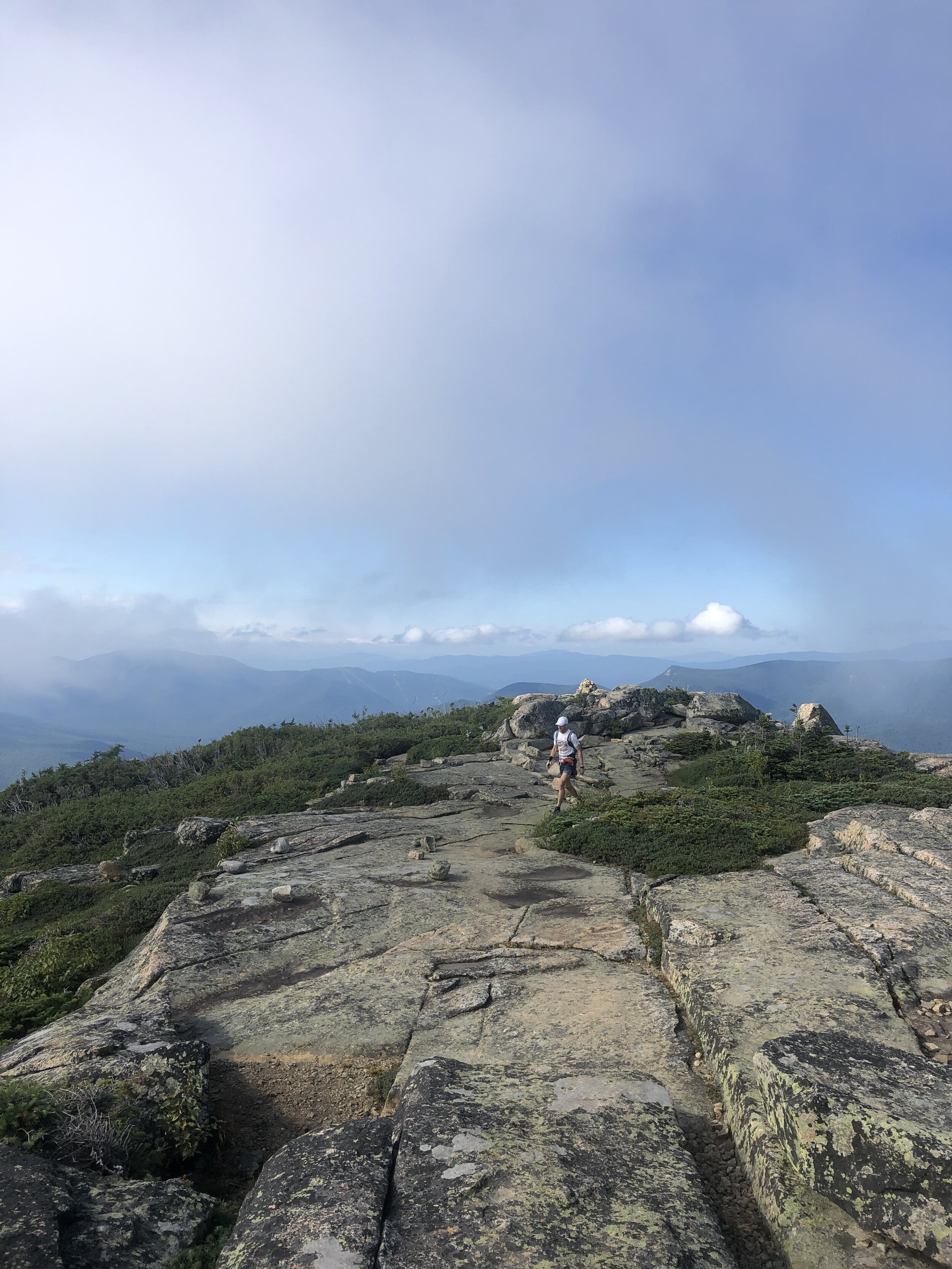
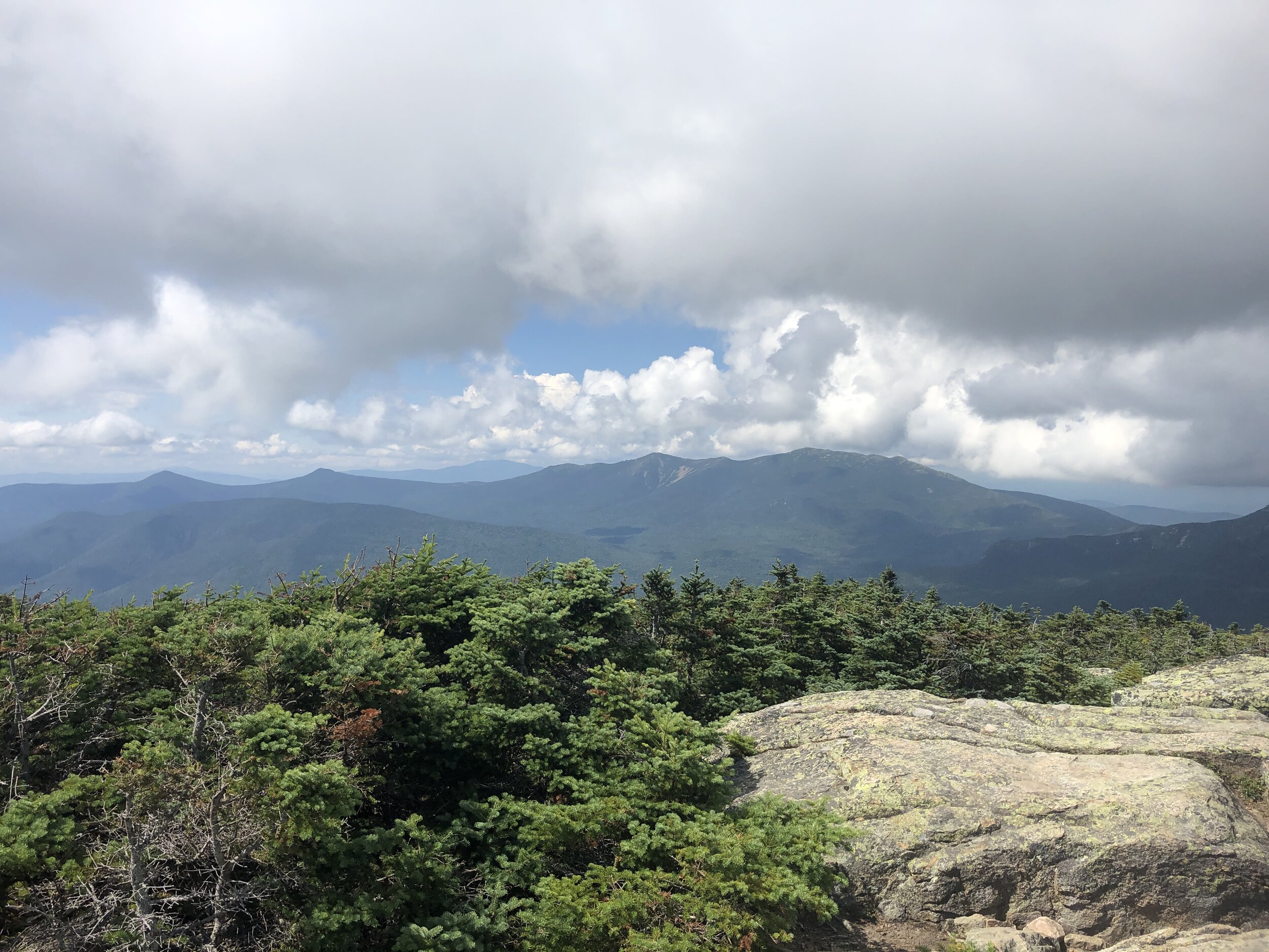
History fact: Mt Lafayette is named after General Lafayette a french military hero who fought during the American Revolutionary war and was an aide to George Washington.
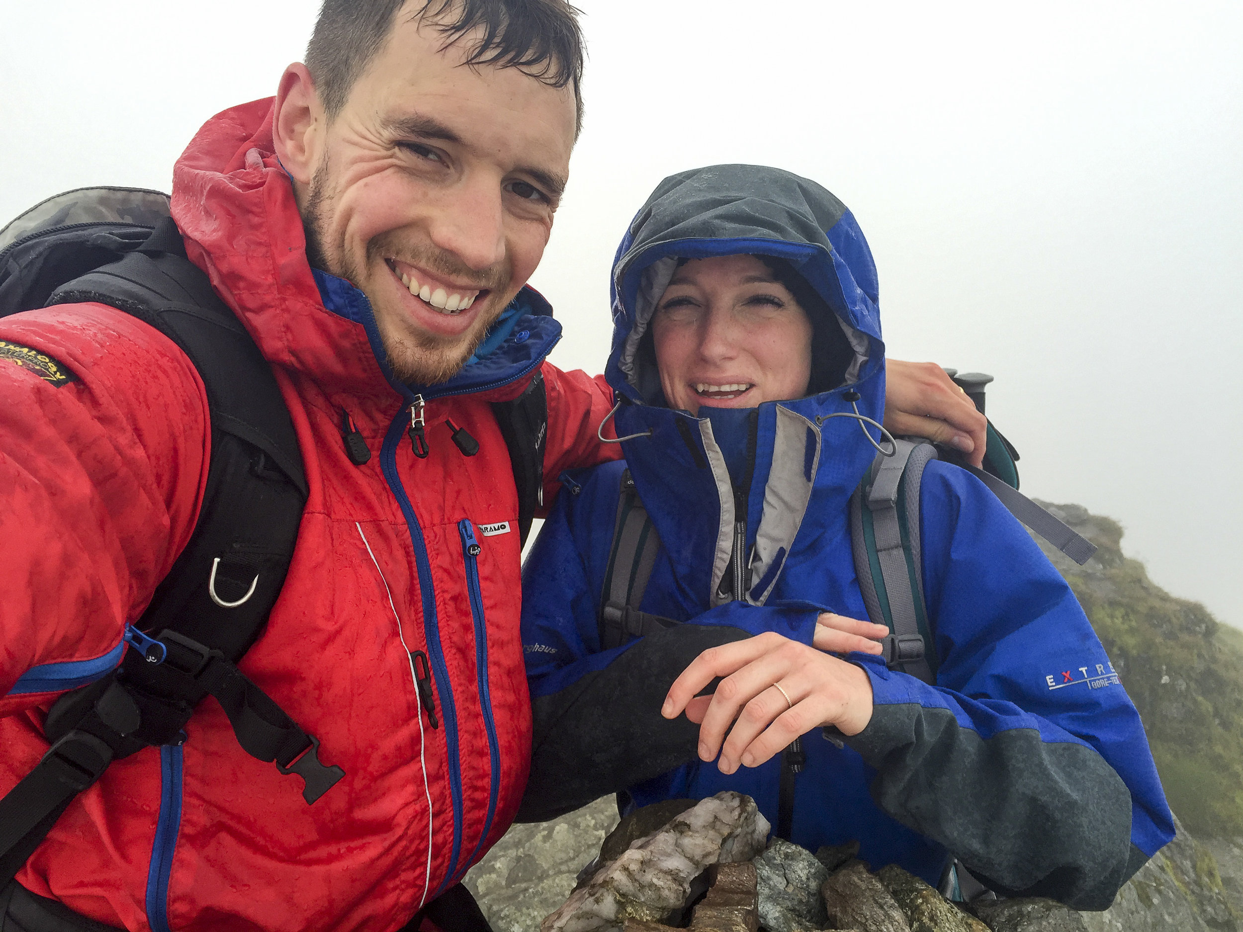
Next up was 3 rolling summits North Lincoln, Mount Lincoln and little Haystack Mountain, the three of us making good progress along the trail. And as the rain and wind started to albeit I could remove my jacket. All that remained was the final 2 peaks of the day. Mount liberty and Mount flume. We passed a few other runners along the way and as we arrived at the top of Mount Flume another group kindly took some photos of us before the descent to the finish.
The final descent was certainly one of the highlights of the day. The trail for the most part felt like a perfectly designed trail carved for us down the mountain, our speed began to naturally pick up on the way down as we inched our way to the finish. Ever expecting the terrain to suddenly change and hamper our progress. Instead the trail became better and better all the way down. Broken up occasionally by some incredibly crafted wooden steps that covered the more challenging sections. The trail soon became a hard packed trail more similar to the one I experienced on the Pine to Palm last year (you can read about that experience here). The final couple of miles were pure elation running freely down the pine tree trails and then onto the hard packed route we initially ran on at the beginning towards the bridge and our finish line. Our pace kicking up a couple of notches for an almost sprint finish. Touching the bridge we had done it (watches stopped to capture the all important finishing time, as they say if its not on strava it didn’t happen….). All that was left was for us to bask in our glory whilst drinking a beer and soaking in the nearby stream.
Stats for the long weekend:
Days: 3
Distance covered: 56 miles
ascent: 20,000ft
NH 4000 footers completed: 16
The Presi Traverse
Distance travelled: 20.08 miles
Altitude climbed: 9,469 ft
Total Time: 8hr 7mins
When I arrived in the US 4 years ago I first experienced the wonders of New Hampshire on a cold winters day when I joined the Appalachian Mountain Club for a day skiing trip on the Cog track on Mt Washington. On a side note I would highly recommend joining the Appalachian Mountain Club if you are ever in the North East. My first day with them was especially memorable (link Skiing on Mt Washington) as I had made a very school boy error in forgetting my goggles. My eyelashes froze on the ski down, not convenient.
The Presi Traverse
Ever since my first visit to New Hampshire I had been wanting to do a winter and summer trek to the summit of Mt Washington. A place renowned for the highest recorded wind speed on earth outside of a tropical storm. I had heard about an epic running challenge where you traverse length of a ridge line following what’s called the Presidential traverse. At 23 miles (37km) and 9,000 feet of gain (2,700m) it's not for the faint hearted and is rated as one of the toughest running/hiking routes in the north east of the US.
TOP TIP: learn the US President's names and who each peak is officially named after to make sure you don’t accidentally run an extra peak. ***Hint*** Clay is not a former US President. And Mt Jackson isn’t named after former US president Andrew Jackson. I learnt that at the finish when my friends wondered where I had got to.
My opportunity to run the Presidential Traverse came when a friend invited me on a long weekend running trip in New Hampshire with a bunch of his buddies. Of course I said YES!! immediately.
First was the journey up to New Hampshire. It was meant to be a fairly mundane day. I was feeling a little under the weather (having fainted in the morning, long story…) and was not looking forward to a long drive up to New Hampshire. I ride shared with one other up to my friend’s house in Beacon NY where we pit-stopped for lunch, burritos! They hit the spot. I was finally beginning to feel normal by the time I finished my second.
After a fairly decent drive we arrived to yet more food - despite not having run yet I was beginning to eat as if I had done a few days of ultras. Let’s call it pre-run prep. The evening was spent munching pizza, assessing the route and packing our bags. There was of course a bit of beer drunk and lots of chatter about how quickly we might be able to run the Traverse.
After the rough morning, the long drive and packing of our equipment However I was too excited to sleep, I tossed and turned through the night until my alarm finally signaled morning. I munched some cold oats and cold brew whilst watching some of the guys working on brewing the perfect batch of drip coffee before hitting the road.
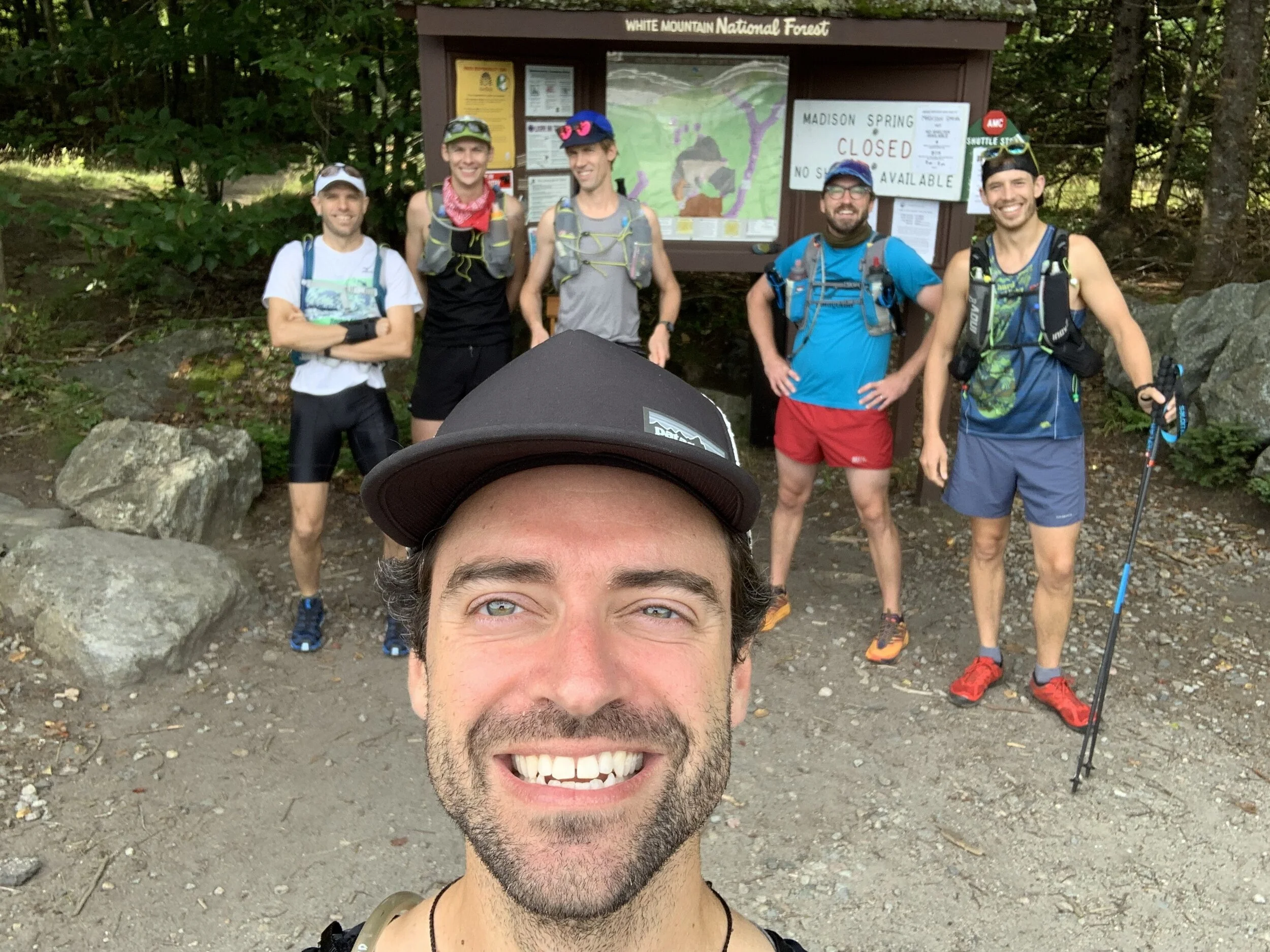
The crew
We dropped a car at the end point before heading back to the start as a group and ready to rock. A quick pee stop, a final drink, photo and it was time to hit the trail.
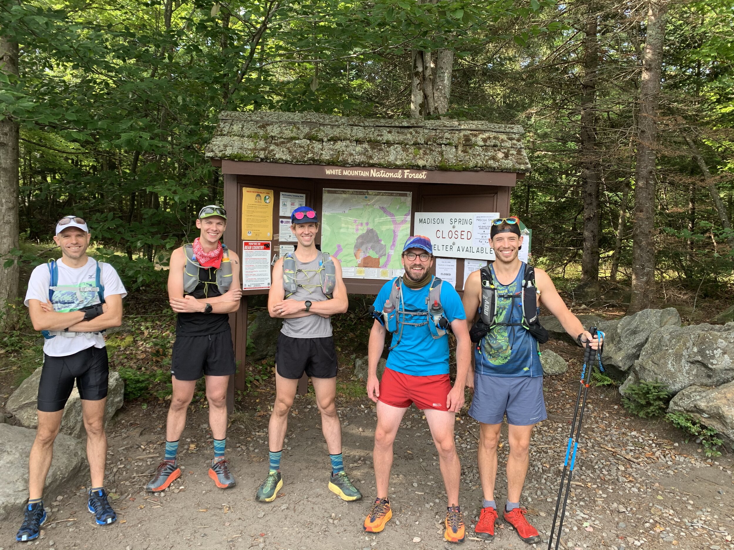
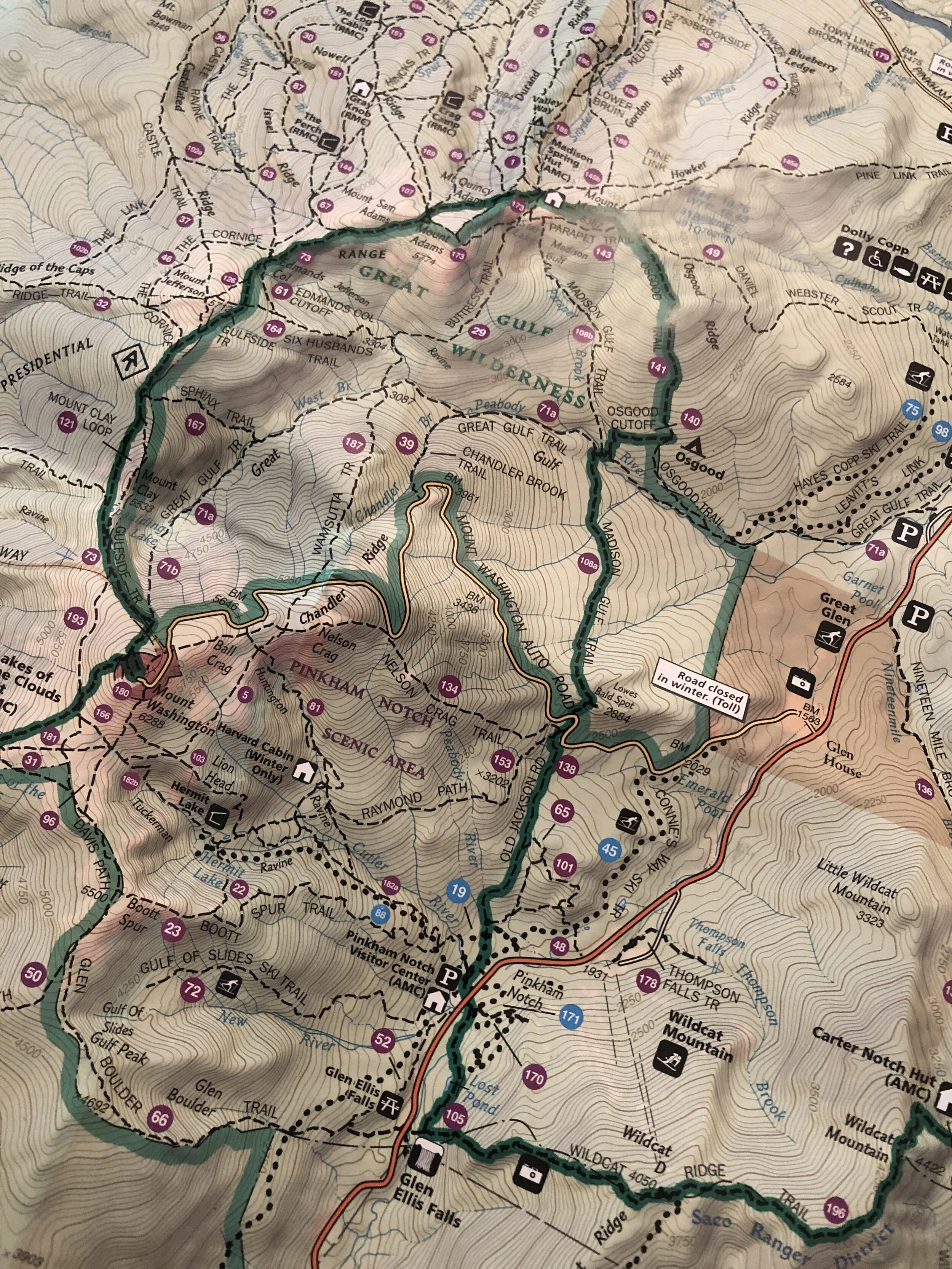
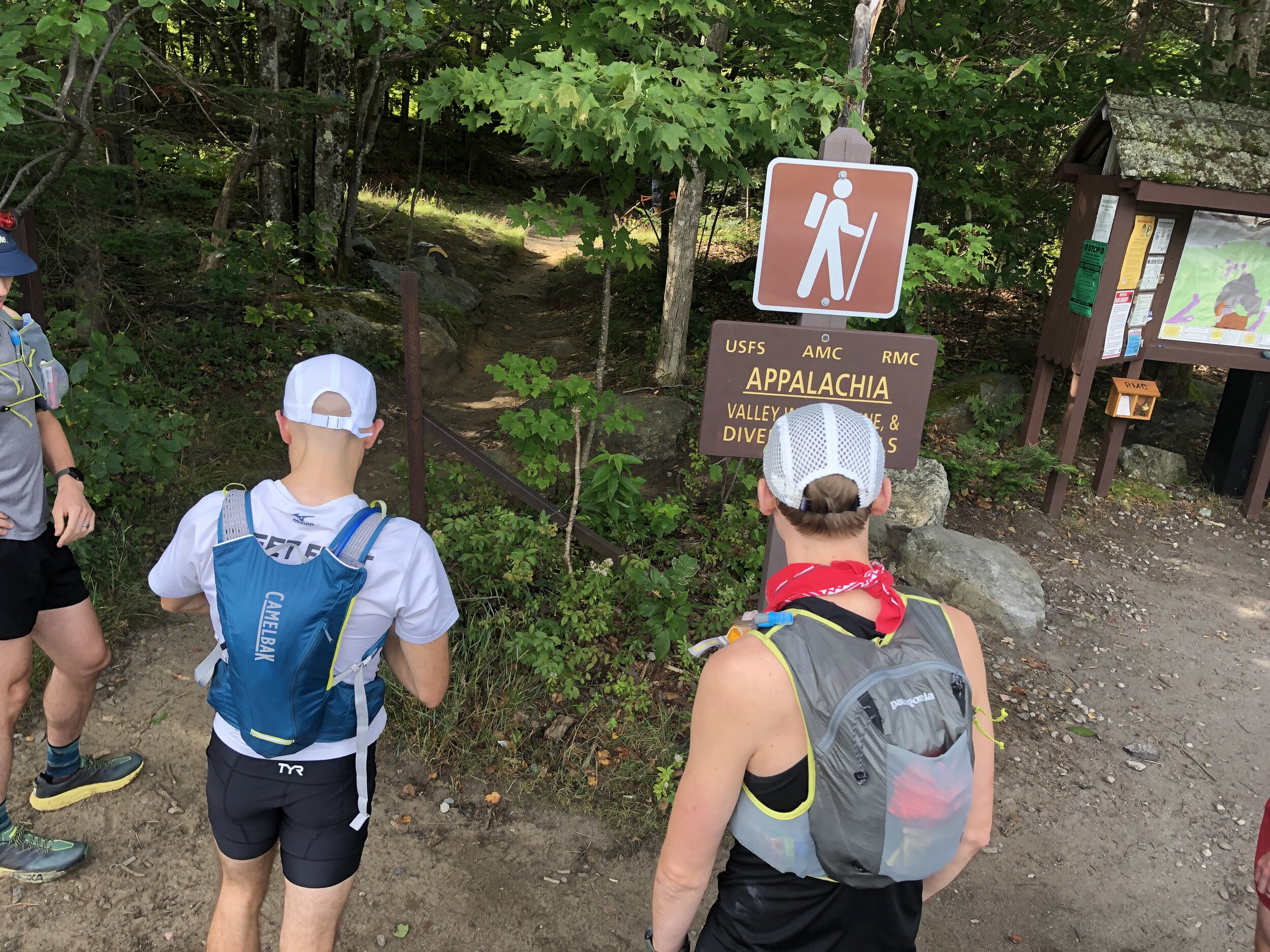
It has been a long time since I ran in a group that was not part of a race. I was envisioning our small tribe heading along the wooded trail. The trail started relatively flat and untechnical before kicking up the gears. The group soon dispersed and the poles I had taken out were also stashed away as the trail turned to more of a rock scramble heading up Mt Madison (5,367ft, 1,636m). Despite the early start and the mild temperatures I was beginning to heat up quickly. I climbed higher until I slowly made my way out of the tree line. And then it was onto a large boulder field heading directly to the summit. Hopping from boulder to boulder all the while keeping an eye on the cairns that marked the route that snaked its way up to the summit. I tried not to peek at the incredible view before reaching the top. Mt Madison down, 7 more to go! (or so I thought...)
History lesson: Mt Madison was named after James Madison, 4th US President from 1809 to 1817. According to Wiki He is hailed as the “Father of the Constitution” for his pivotal role in drafting and promoting the Constitution of the United States.
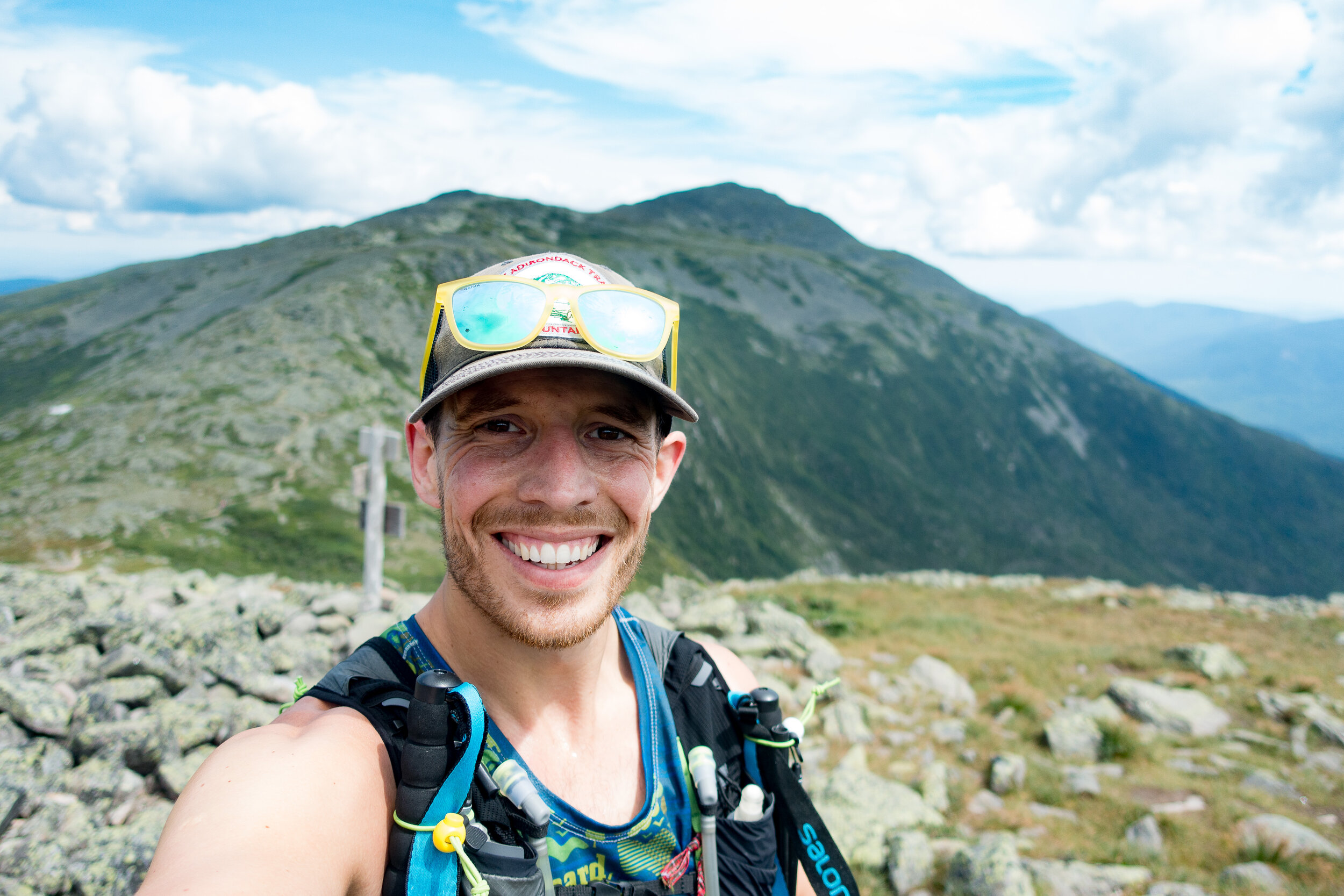
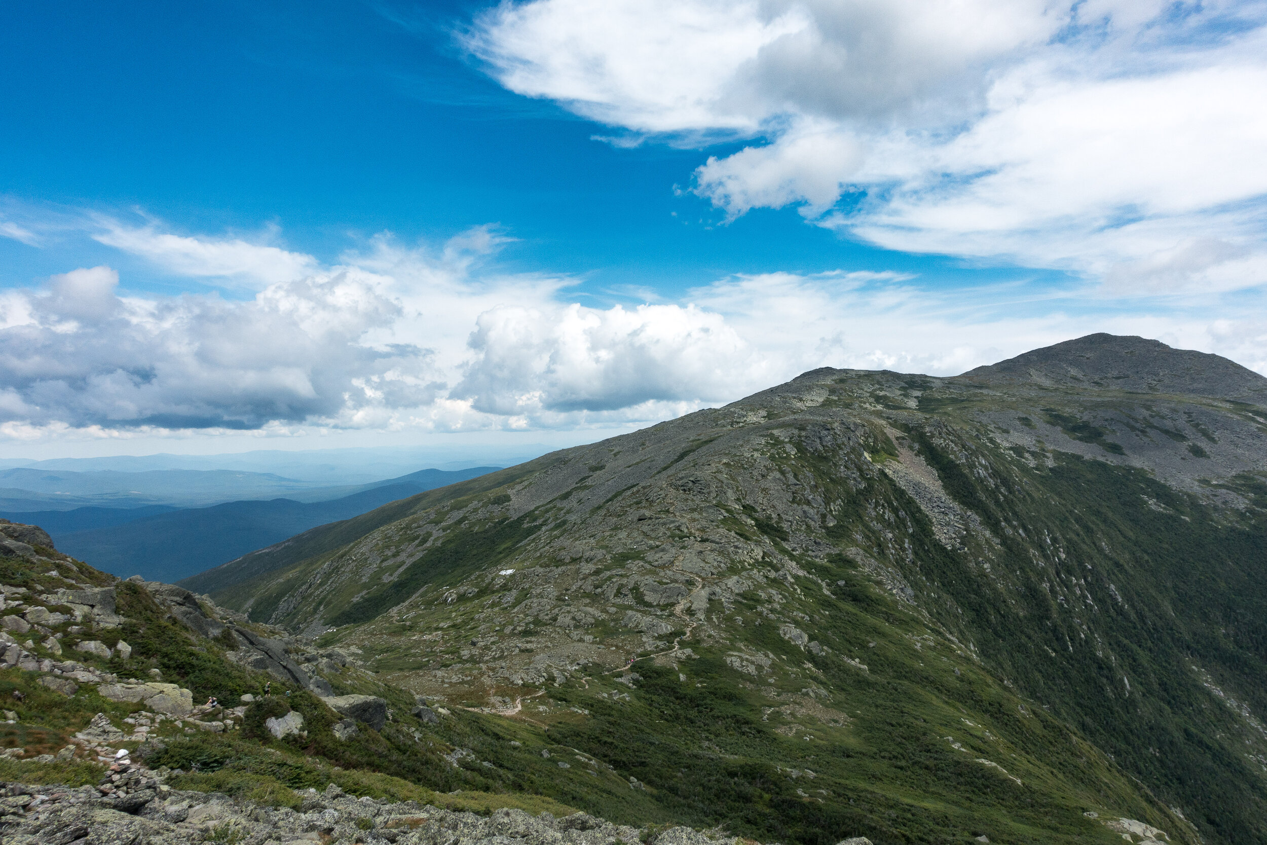
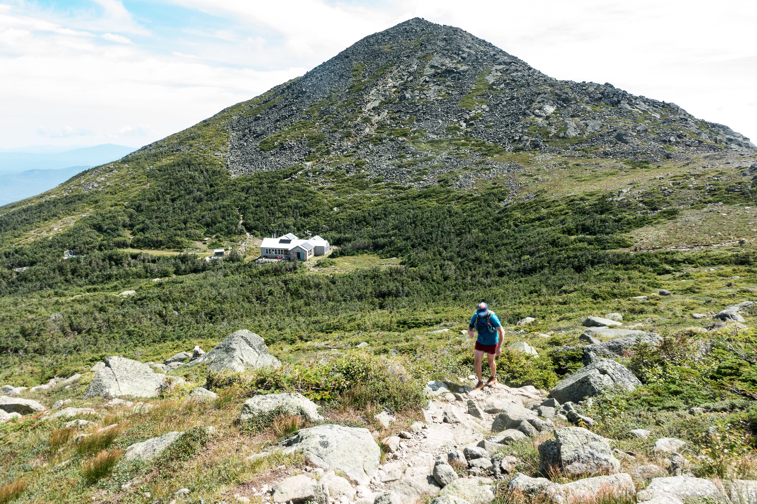
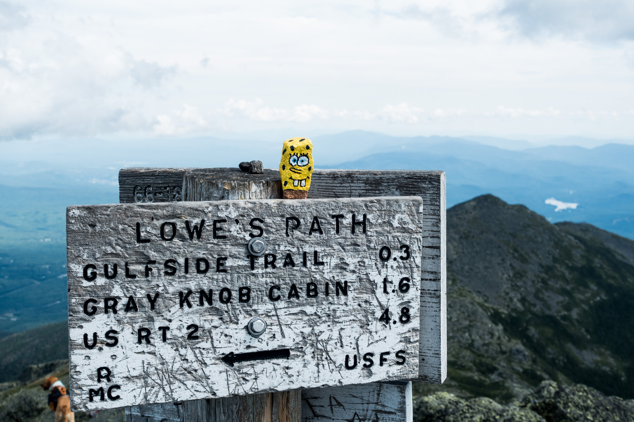
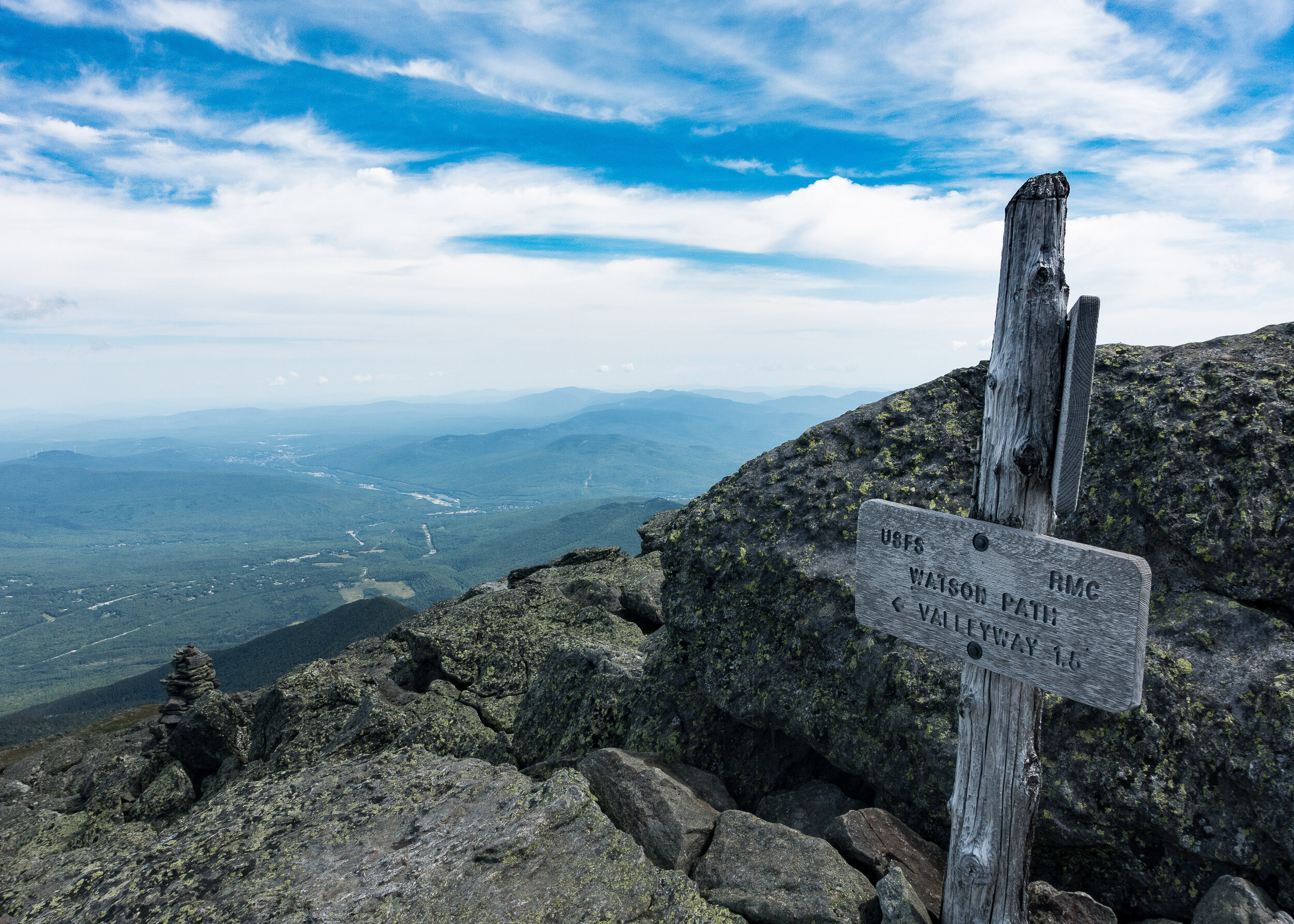
From here the route was laid out in front of us, I could see a few peaks ahead before the pinnacle of Mt Washington sitting high above all the others waiting for our arrival. I could make out one of our group just a head of me as I scrambled down. He had come up a quicker route and already made the summit before heading back down a bit to Madison Spring hut to fill up some water. I grabbed a couple of cups of water and together we headed on.
Up we climbed, munching on yet more food - breakfast number 2 or maybe 3 of the day. There wasn’t a huge amount of other people moving about on the mountains at this point allowing us to move freely along the trail.
Soon we reached the second peak of the day, Mt Adams (5,735ft, 1,748m). A quick photo and slightly less time admiring the views and on to the next peak.
History lesson: Mt Adams is named after John Adams, second US President from 1797 to 1801. John Adams was a leader of the American Revolution that achieved independence from Great Britain, and he served as the first vice-president of the US.
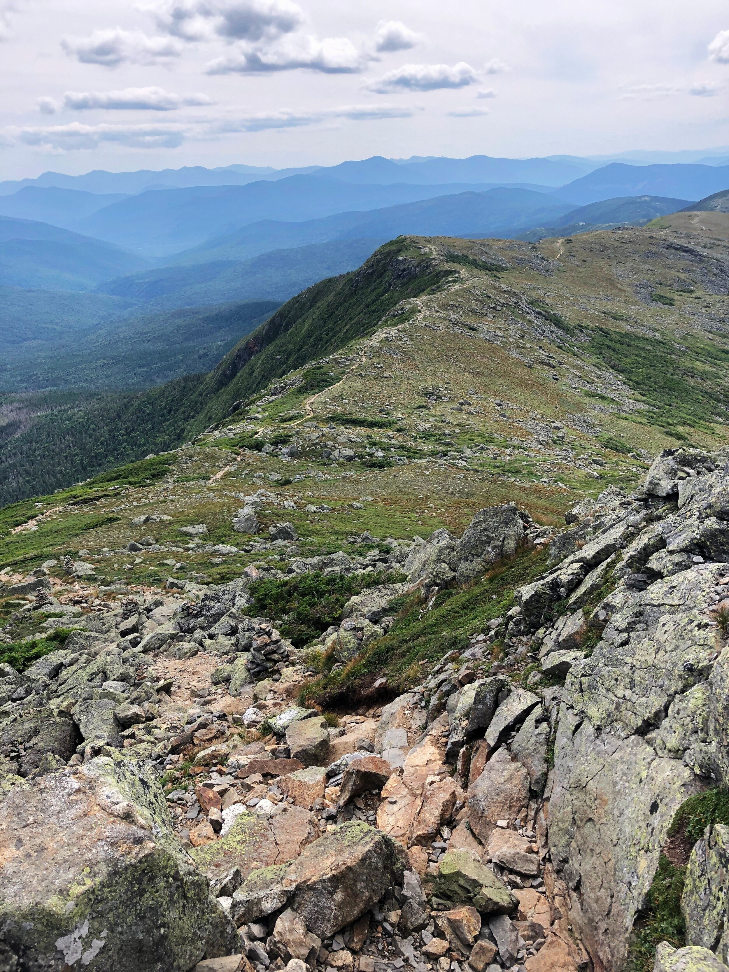

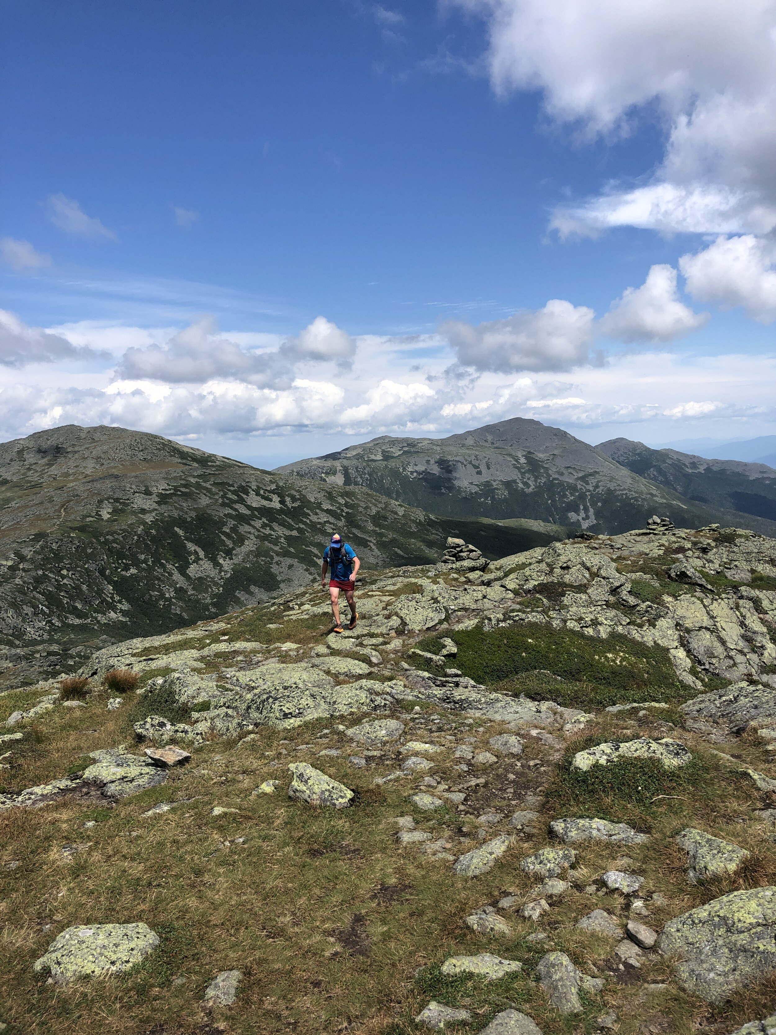
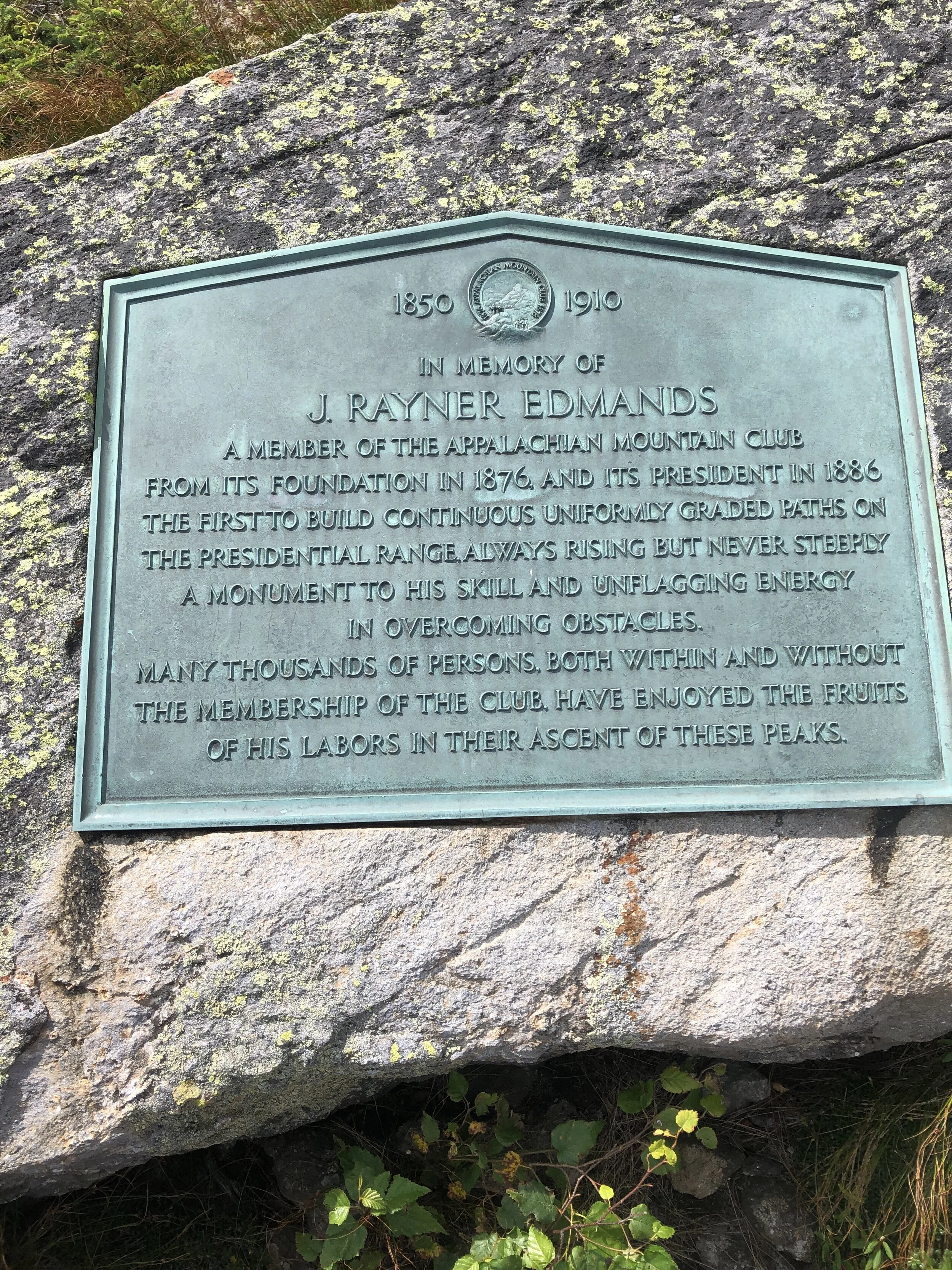
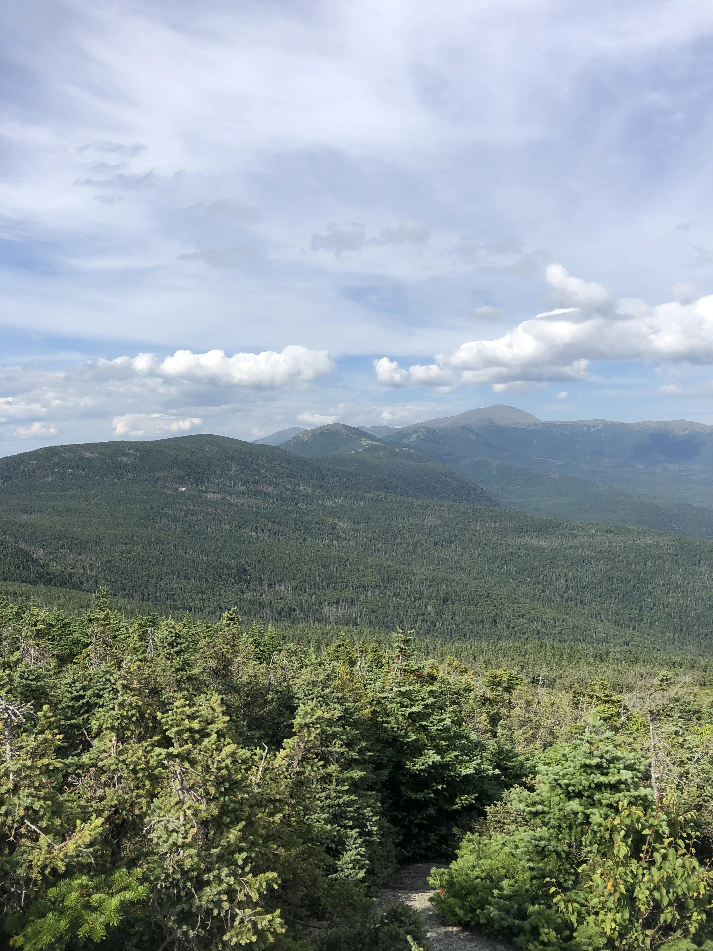
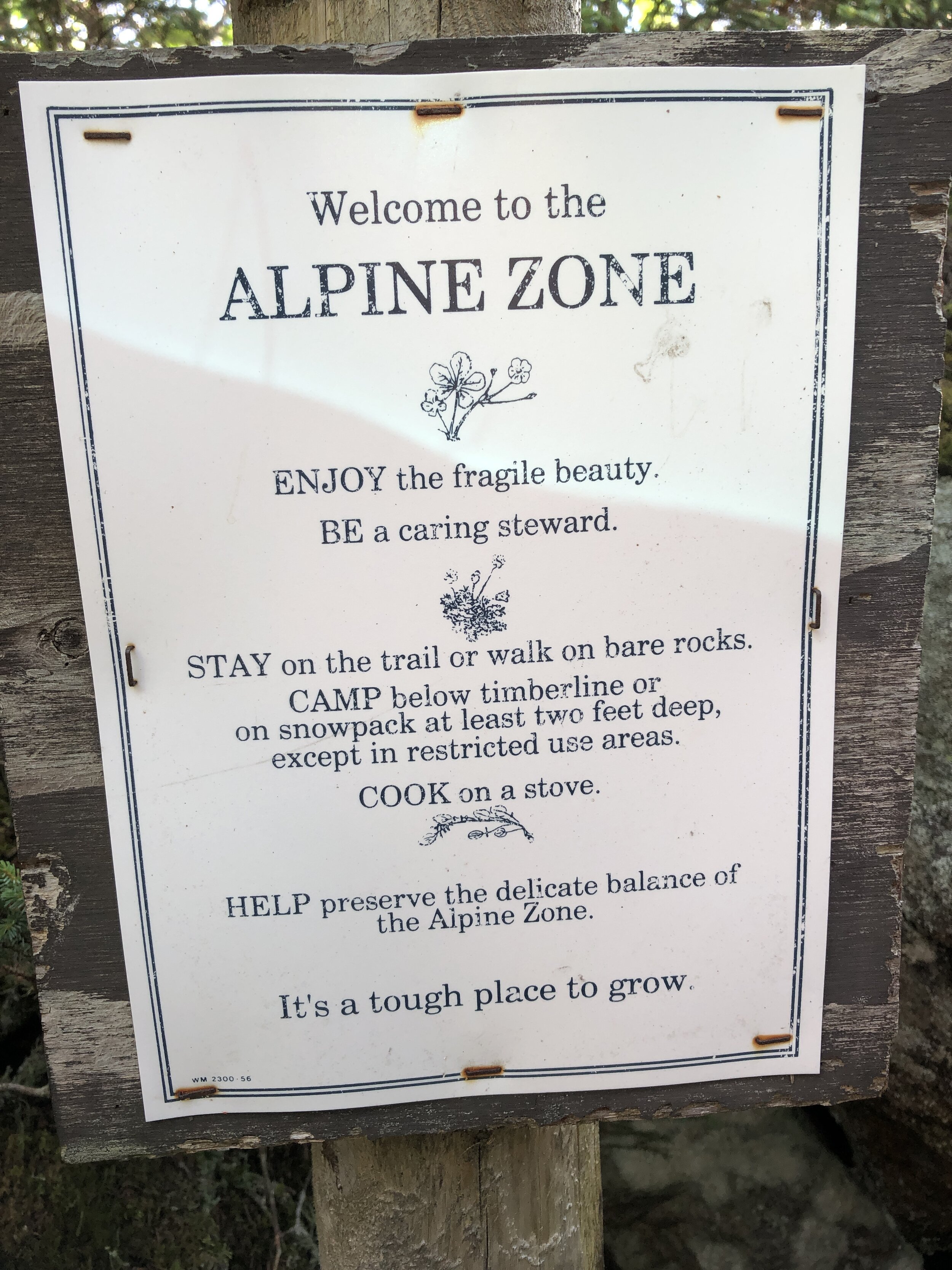
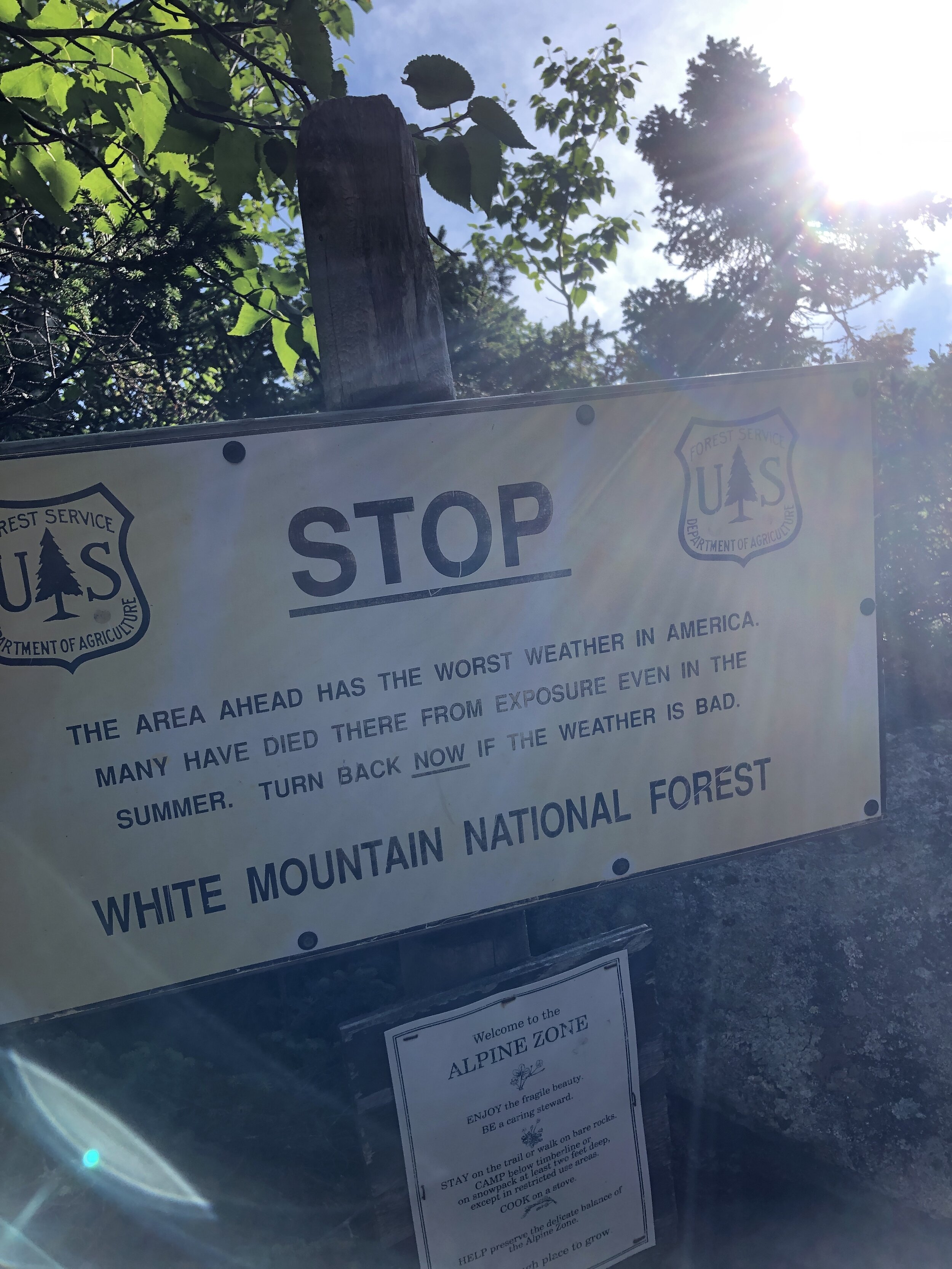
After the second peak I slowly edged ahead of my running buddy, trying to catch up with a few of the lads further ahead although I anticipated them being considerably further a head. I ticked off Mt Jefferson (5,659ft, 1,725m) and Mt Clay (5,525ft, 1,684m). Mt Clay was an addition to the “basic” 7 peaks of the Presidential Traverse, what can I say, these lads like a challenge! But it was Mt Washington I was looking forward to, it felt like the pinnacle of the route with everything after it being kind of downhill (or at least less of a climb).
History lesson: Mt Jefferson is named after Thomas Jefferson, third US President from 1801 to 1809. Interesting fact from the Washington Post; instead of having “former US President” inscribed on his grave he chose “Author of the Declaration of Independence, of the Statue of Virginia for religious freedom and Father of the University of Virginia”. Mt Clay is named after Henry Clay, 19th century senator and US Secretary of State from Kentucky - not a US President. But an official peak of the Presidential Traverse nonetheless.
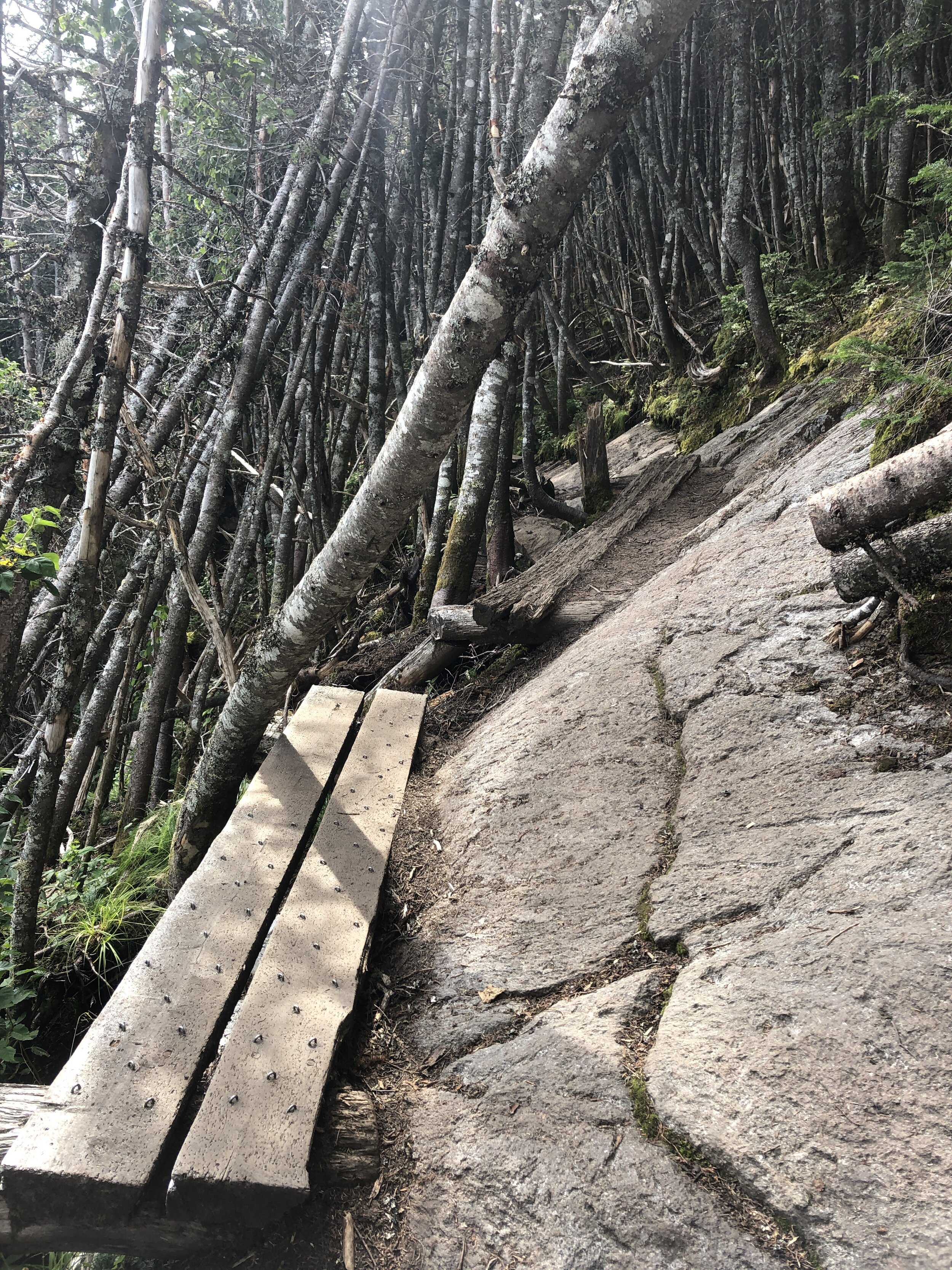
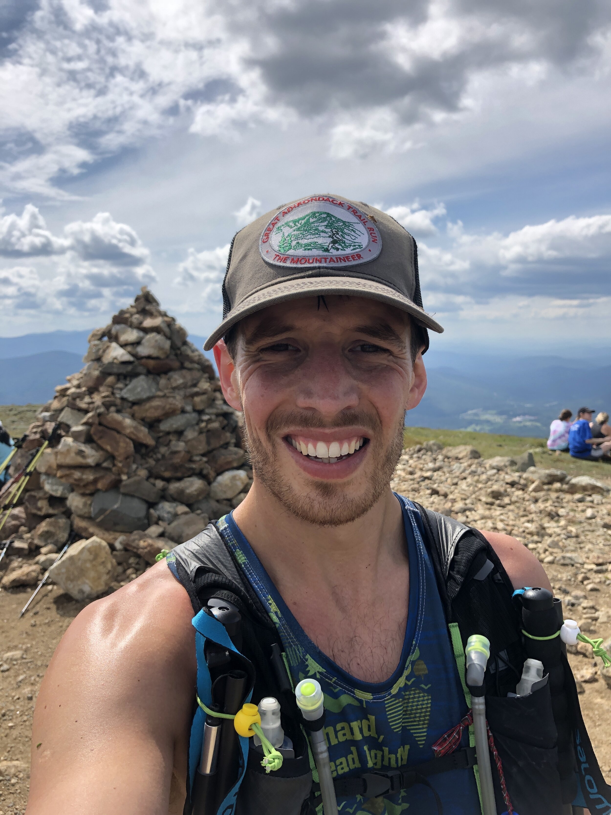

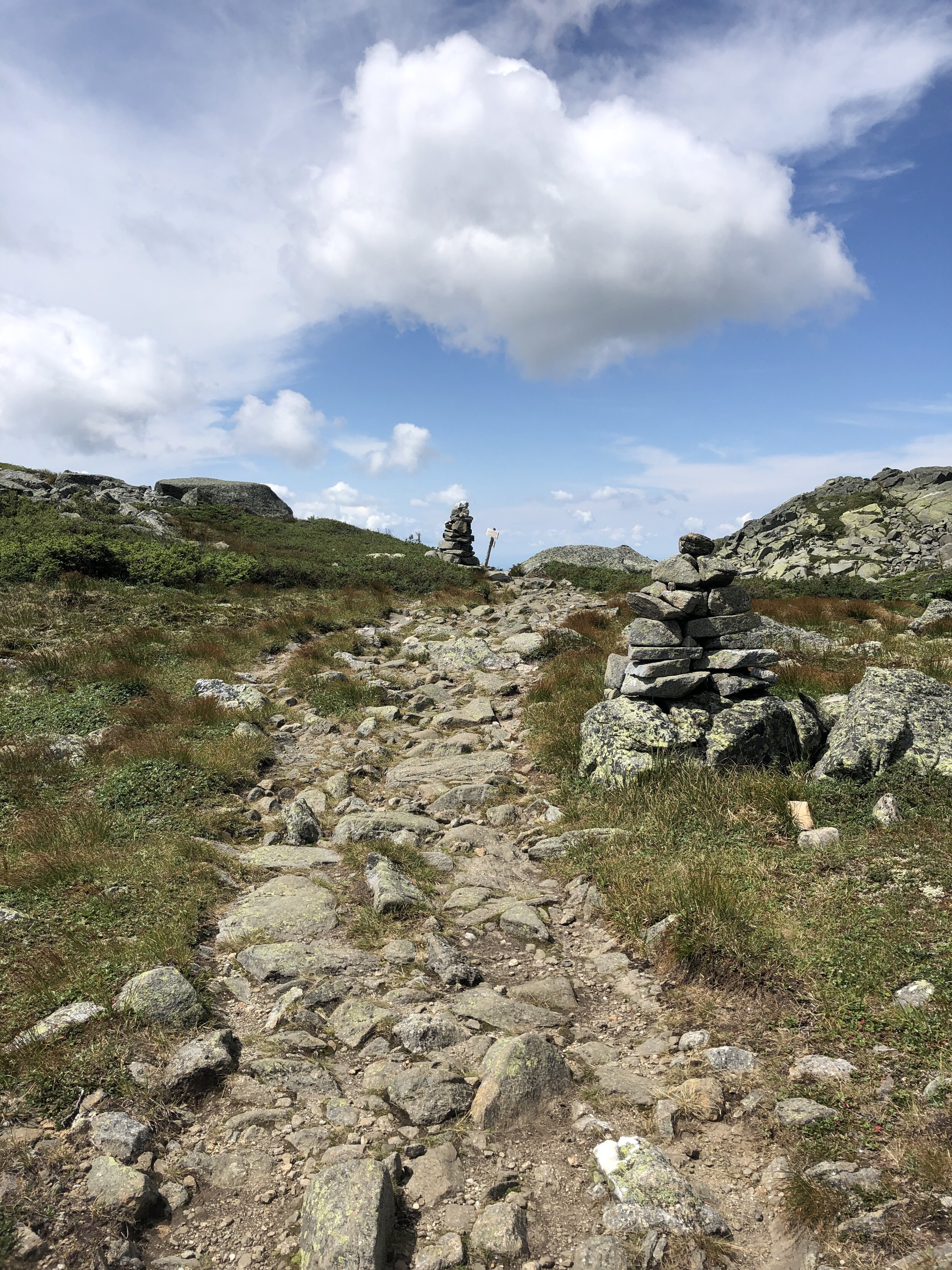
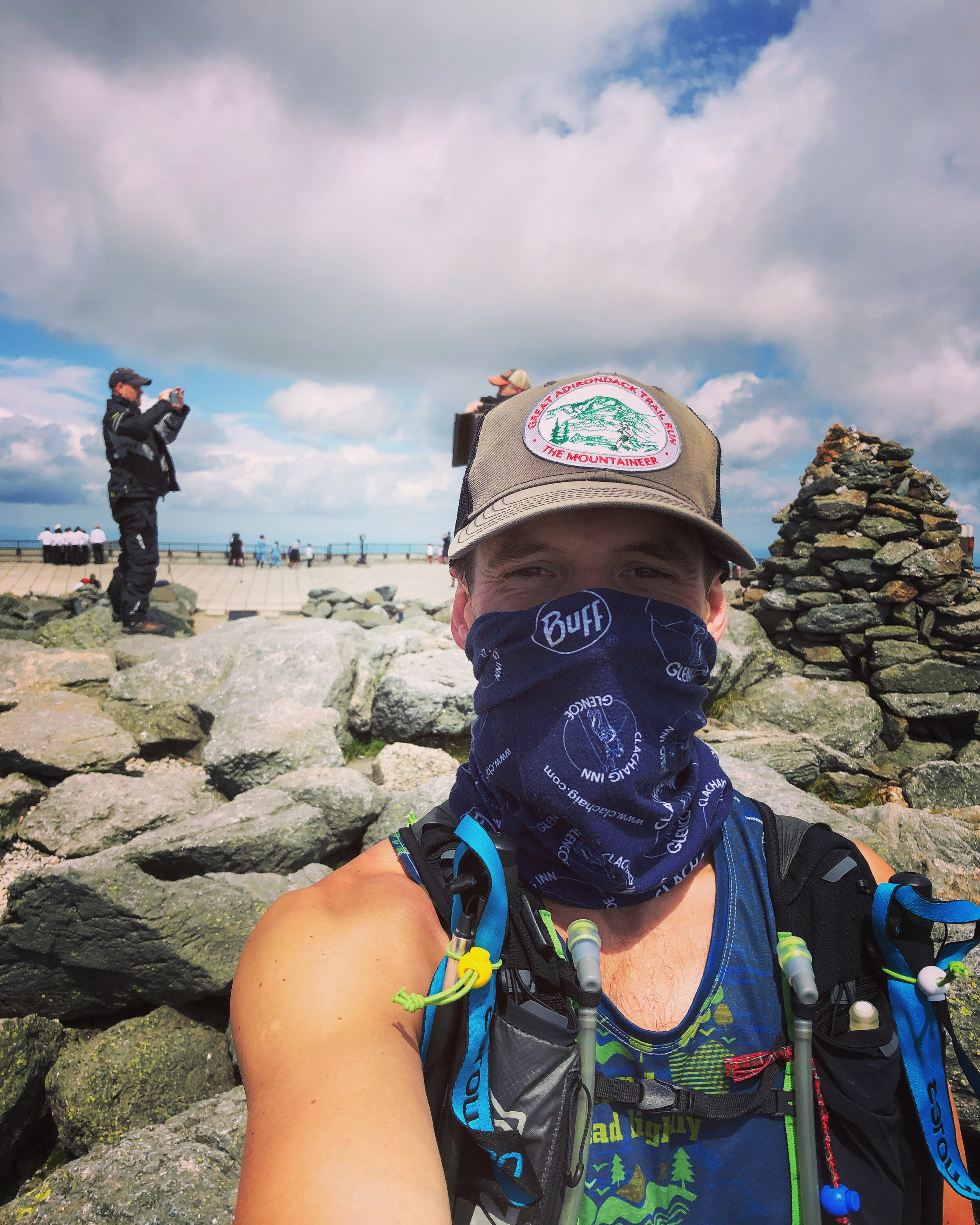
In front of us we could make out the line of cars driving to the summit and the cog train. The track was well trodden allowing for some good progress prior to a small boulder field near the summit. Arriving at the top we joined crowds of people, motorbikes, cars and a queue to stand by the sign marking the peak of Mt Washington (6,288ft, 1,917m).
History lesson: Mt Washington is named after George Washington the first US President 1789-1797. Random fact from The History Channel; “Washington wasn’t just America’s first president, he was also its first mule breeder.
I lost the Shaun amongst the crowds on Mt Washington so I headed on down as quickly as possible. With my buff pulled over my face (thanks COVID) I ran down the perfectly laid stone path towards the "Lakes of the Clouds" hut to resupply. The hut is operated by the Appalachian Mountain Club - thanks guys! A quick water stop and I was on my way.
I was up and over Mt Monroe (5,372ft, 1,637m), the 6th peak of the day, by about 2pm.
History lesson: Mt Monroe is named after James Monroe, fifth US President from 1817 to 1825. When Monroe was James Madison’s secretary of state he bought Florida from Spain for about $5 million.
I headed onwards to Mt Eisenhower (4,760ft, 1,450m), my 7th peak, I was pretty sure I only had one left. Looking at the route I had plotted on my phone there appeared to be two more. The rough and technical terrain was starting to take its toll.
History lesson: Mt Eisenhower is named after Dwight Eisenhower, 34th US President from 1953 to 1961. Eisenhower was apparently the first US President to ride in a helicopter!
Ahead of me I could see a little peak, Mt Pierce (4,291ft, 1,308m) sitting above the trees as I headed along the path. I reached the top knackered and and couldn’t quite believe that there was still one peak to go.
History Lesson: Mt Pierce is named after Franklin Pierce, 14th US President from 1853 to 1857. Wiki notes; Pierce is regularly ranked as one of the worst US Presidents - hopefully in part due to his alienation of anti-slavery groups and enforcement of the Fugitive Slave Act.
Then onto my final peak and 9th, Mt Jackson.
History Lesson: This peak wasn’t named after former US President Andrew Jackson who was the seventh US President from 1829 to 1837. It was instead named after Charles Thomas Jackson who served as State Geologist for New Hampshire, Maine and Rhode Island in the late 19th century. Charles Thomas Jackson is remembered by many for his involvement in a series of bitter conflicts that followed a pattern; a discovery would be announced by someone, Jackson would then claim prior discovery, and a controversy would ensue. Among the conflicts were the discover of guncotton, the telegraph, the digestive action of the stomach and the anesthetic effects of ether.
In short Jackson was a fraud (both the mountain and apparently Charles) - this mountain tricked me into believing it was a former US President when I was at my most exhausted.
A few hikers at the top told me there was about a 30 - 45 min trip down to the parking lot. The initial part was straight down a rocky scrambly route. It felt like a fairly brutal section to finish on. Slowly but surely I started to hear the road up ahead and popped out of the trees all of a sudden to see the rest of the group waiting. It turned out that I added a decent amount of distance to the Presi traverse.
I was delighted to have completed the route and to be finished as I washed down my run with a cold beer and some pickles.
Mt Mitchell - North Carolina
This was the first long holiday of the year and after much debate we had settled on exploring Asheville and the Black Mountain area in North Carolina. Renowned for outdoor activities and a lot of breweries! The first task was for a casual 11 hour drive down to the area from New Jersey. With a car full of people and kit. Loaded up with snacks for the drive we began making our way south.
One of the first spots we visited was a natural slide. Hidden in Pisgah National forest we braved the slightly cooler weather for the chance for a wild swim. By the time we got there their were only a few people milling about and sliding down the rock face into the plunge pool at the bottom. With it being the end of the season we had definitely avoided the crowds which you could imagine being the norm in the heat of the summer. After spending some time sliding down and hiking up it was time to head on back to our base for the next few days.
Sliding Rock
After checking out the weather that evening and various trails available we settled on heading up Mt Mitchell. Mt Mitchell itself was high on the wish list for our time there. Partly because its the highest peak east of the Mississippi and eastern North America (when you exclude some of the Arctic region) standing at 2,037m or 6,684 feet. Making it about 400ft taller than Mt Washington up in New Hampshire or roughly 2,200 feet taller than Ben Nevis in Scotland. The mountain and surrounding area have an interesting history as well. Originally the Cherokee tribe were one of the more prominent in the Black Mountain region until settlers took over the region. Since then it was first climbed by a French Botanist and Explore named Andre Michaux (who commenced quite a few expeditions from New Jersey & New York). Making a climb to the top all the more relevant having travelled from New Jersey albeit far easier to get there compared to his travels. A Professor from the University of North Carolina, Elisha Mitchell, explored and studied the height of the mountain before confirming it as the highest mountain in the East of the US. He later unfortunately went on to die on the mountain after an accident.
The trail up Mt Mitchell
In the 1940’s a road was created along a ridge that runs 469 miles between Virginia and North Carolina, with a stop off at the summit of Mt Mitchell, creating the Blue Ridge Parkway. However since then the environment has had a tough time. A mixture of effects have been damaging the eco system. From logging and fires through to foreign invading plants and animals. The more recent effect has been acid rain, which is still to this day severely affecting the forest and killing many of the trees. In 1993 it was declared an International Biosphere by UNESCO. Despite the challenges it still has a rich environment. Its not surprising that its one of the most visited national parks in the US. Due to its popularity there are a variety of options to reach the summit including a drive almost to the summit or horseback ride. We opted to hike from the base starting at the Black Mountain campsite.
Blue Ridge Parkway meandering below us
The adventure started with the drive over there. Plugging the campsite in as the start point for our hike we soon found ourselves driving up a rough track road with ever tighter switch backs. Higher and higher we headed up the mountain. What we had not appreciated when going with the route the GPS suggested was that this would take us the off road route. It showed the importance of having a road map of the local area! It was quite the experience driving up with sheer drops to one side and some fairly impressive pot holes amongst other parts. It turned out the road should have already been closed for the season. We had managed to sneak through for a final ascent whilst they were conducting some maintenance. As we climbed our expected time of arrival got later and later. It felt like we had driven to the top of the mountain as we emerged onto the main and perfectly tarmacked road. Trying to find the second segment for the onward journey, which unfortunately had been closed for the season, we began searching for alternative routes. After trying a few different ones we were finally heading in the right direction on the only remaining route to get to the start of the trail head. The trail started from the Black Mountain camp ground. We soon enough arrived far later than expected but there nonetheless . The campground is tucked in beneath the mountain. Parking up we crossed over a bubbling river to get into the camp group which was filled with campers and surrounded by towering trees.
Some wooden signs directed us towards the start of the trail, with a fairly flat section to warm us up into the hike a head of us. This however did not last long. We soon found ourselves in amongst the trees and working our way up wards. The cooler weather making for some perfect conditions for hiking.
One of the plants of interest for the day was poison ivy having spoken to a few people about the various poisonous plants in the US. We had spent some time over breakfast reading a few warnings and articles about poisoned ivy, oak and a few other plants as well as how to spot them. We were on the look out for these plants in a bid to avoid them. Not being your flora expert anything that looked remotely similar suddenly became a hurdle to overcome. Not wanting to be covered in the resin that these plants secrete which waits up to 48 hours before revealing the blisters of the infected area. Unfortunately you can spread it around during this time so in the event of getting it on your hands imagine all the places you might touch during a 48 hour time period….
Slowly but surely we made our way further and further up wards. With most of the mountainside covered in forest we did not have much of an opportunity to take in the views around us. Until we reached a small clearing which had been carved out to make way for a electricity pylon that was strung up the side of the mountain and also headed for the top albeit in a much more direct fashion. Straight up. This gave us a small glimpse into what we would see from the summit and it was already pretty spectacular.
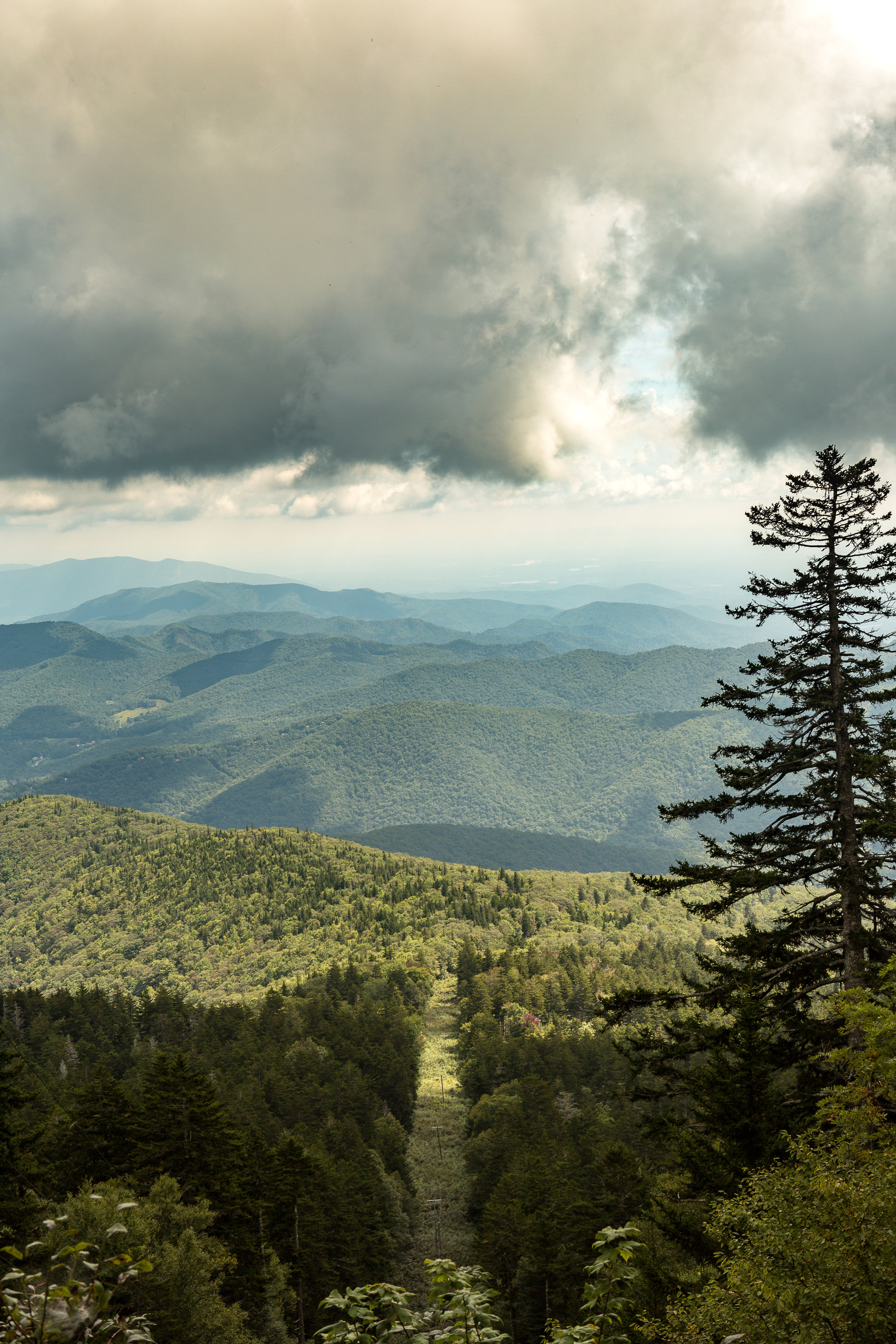
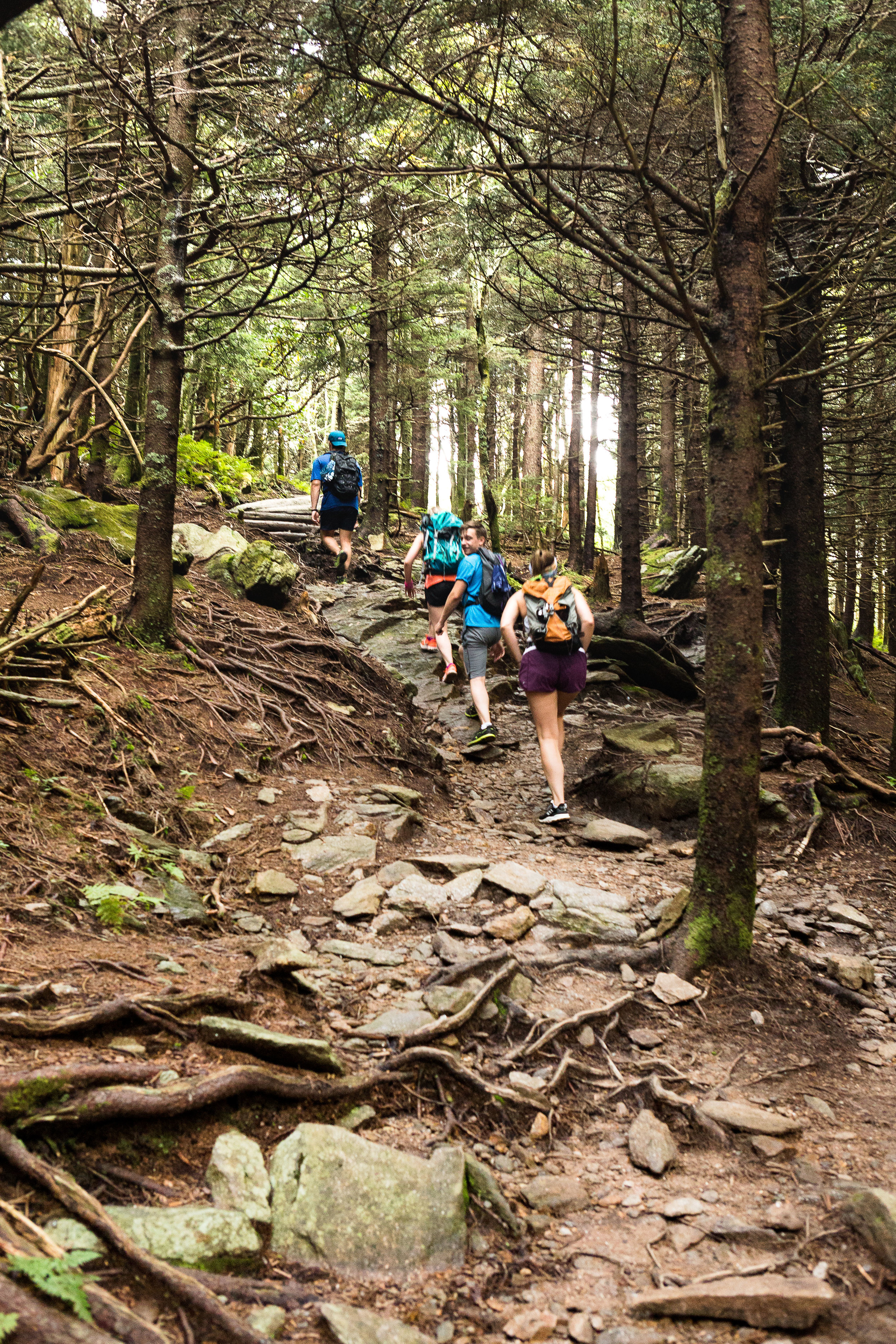
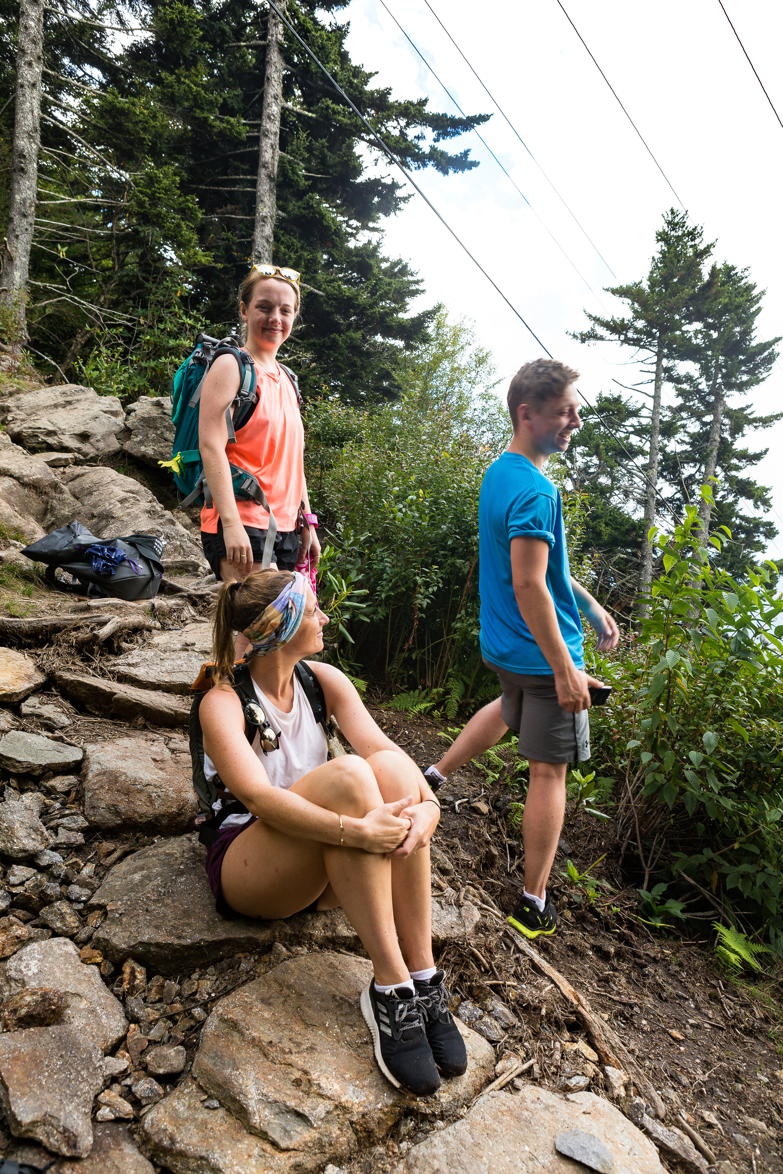
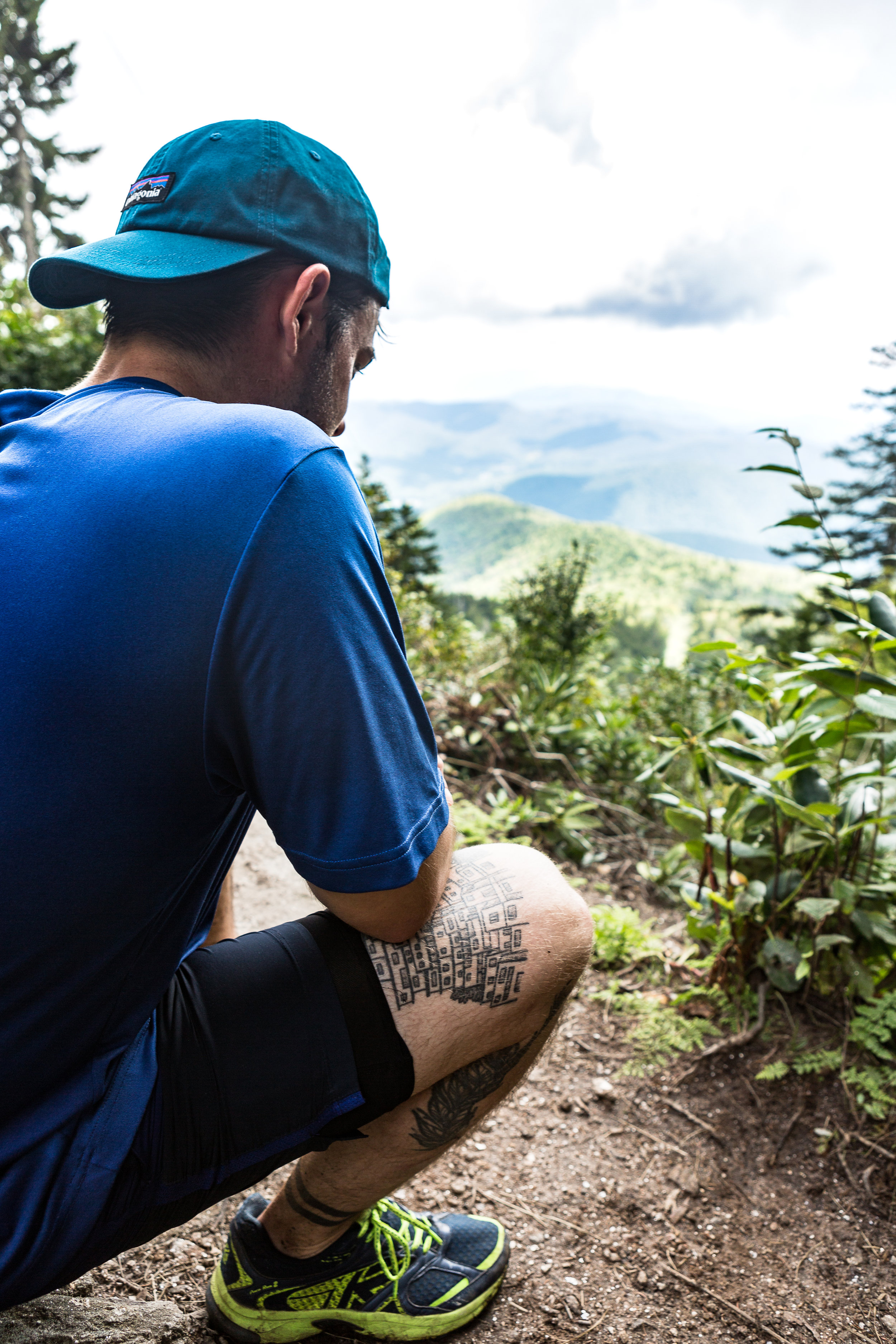
I find it fascinating seeing how the environment changes as we meandered our way along and higher up the mountain. We passed through thick groves of rhododendron’s as we climbed and the scenery slowly changed from chestnuts and oak trees to fir trees as we made our way higher and higher. Unfortunately we didn’t see any flying squirrels or local black bears. Admittedly not seeing a bear up close although an amazing experience would have been a bit nerve racking for the group and the bear.
You can read about my last bear experience in the link below
We were not disappointed on reaching the summit. The 360 degree views were pretty awe-inspiring. We even met some cyclist that had made a bid for the summit under their own power as well. Munching away of some snacks before the second leg of the journey we watched large grey clouds moving in on the area. With the weather on the turn and due to it taking longer than expected to reach our actual starting point we made the decision to make a dash for the bottom rather than continue along the ridge to some other nearby peaks. Part the way down the first rain drops started to make their way through the foliage. We stopped briefly for an attempt at some easy bouldering before pressing on quickly to the bottom. We got back down in pretty quick time, with the rest of the evening to explore the nearby town and its array of Breweries and Bars.
The Weather Turning
If you are interested in reading a bit more on Mt Mitchell and the surrounding area the link below has a bunch of info.
https://www.ncparks.gov/mount-mitchell-state-park/ecology
Views from the Summit
An introduction to Snow Shoeing
We decided that it was time to give snow shoeing a go. The conditions were looking windy but hiding amongst the pine trees of New York state we would be fine, especially with the recent snow fall making for a soft and powdery walk amongst the woodland. We headed over to XC Cascade up in Lake Placid to experience some of their trails. It looked chilly outside with the wind swirling the snow around.
If you have all the equipment you don’t have to be limited to laid out trails but can head up and into the backcountry trails. This season we hadn’t got all the equipment together needed for this and we were total rookies, so maybe next year!
After getting kitted out we opened the door of the warm, cozy hut. We were blasted by the wind as the door crashed closed behind us. Despite the lure of the cozy hut, we took our first incredibly large, cumbersome and awkward steps. Trying to make a quick dash across the cross country ski trails, dodging the speedy and more agile skiers, was probably quite a site but we made it onto the start of the quieter snowshoe trail. Soon enough the towering pine trees swallowed us up and blocked out any trace of a raging wind behind us.
Walking between the trees and over the soft powdery snow felt like walking into Narnia. A magical quiet world with hardly a disturbance. A wave of feeling completely at peace came over us as we began meandering along the trail with the snow sparkling on the drooping trees. Not long after starting we got into the stride of things. My large feet now felt like ginormous platforms flopping around the place. Yet despite the speed at which we became accustomed to our new oversized flip flops taking pictures was a new challenge what with the poles swinging about the place, a camera in hand and padding about through the winding trail.
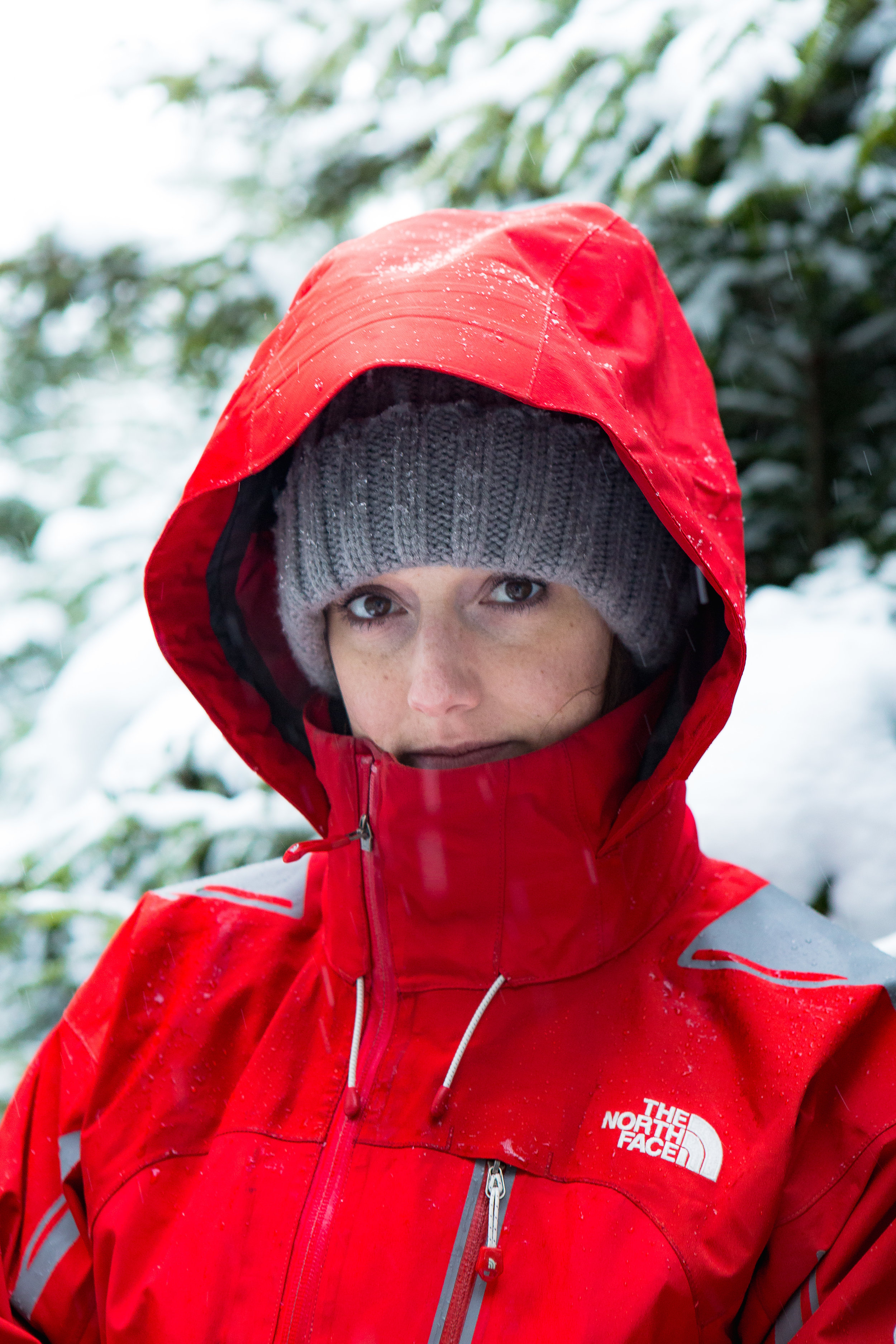
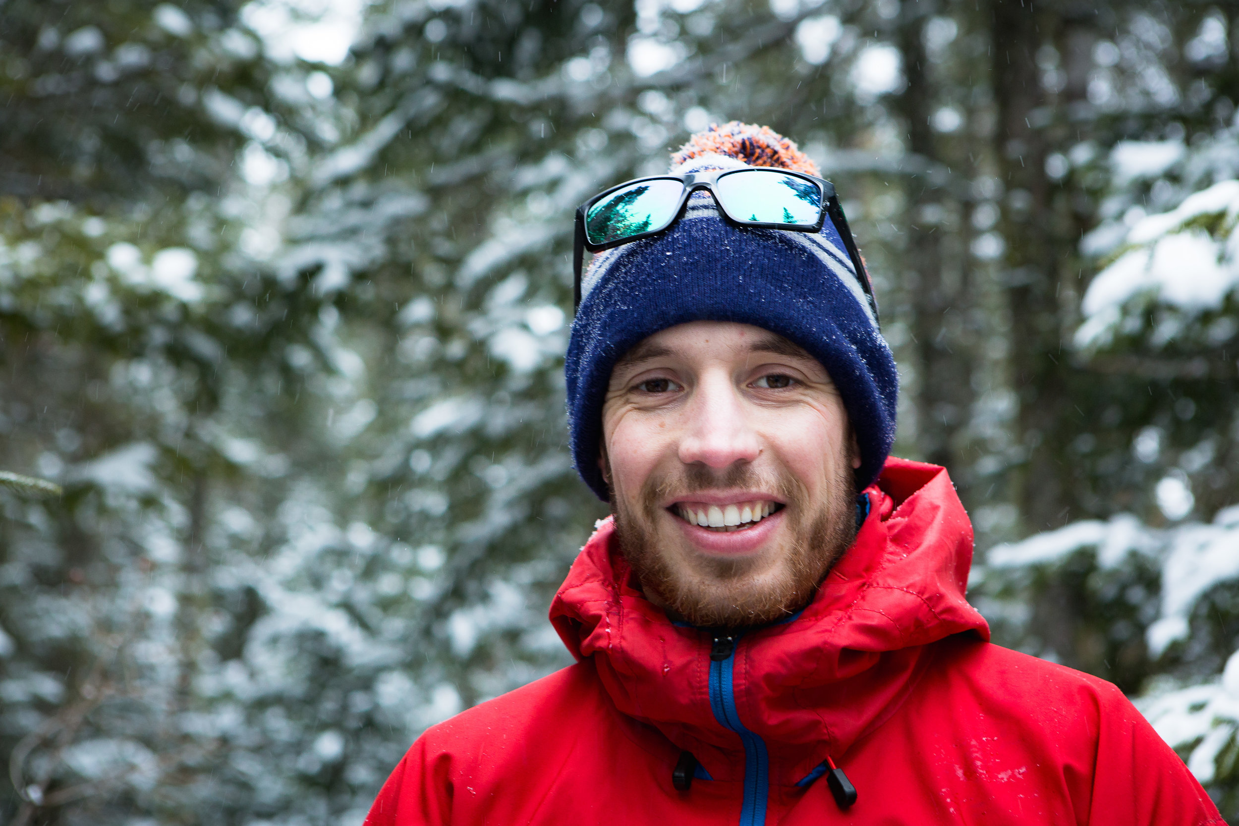


Further a long the trail we came to the first of a few obstacles in the form of a tree blocking the path. Carefully and gingerly we stepped over forgetting that the snowshoes would flop almost completely open catching and scraping over the tree. I am not sure smooth or seamless would have been used to describe the transition over the obstacle but it was successful if the benchmark was not to fall over.
After being out for a few hours we meandered back to the hut for a warm drink by the fire. Coming out of the protection of the trees we were reminded that all was not so tranquil. As we flung ourselves through the doorway with little grace but huge grins and red cheeks from the cold breeze and great conditions.
Very quickly we commandeered some seats near to the fire with hot chocolates and some soup on order.
All in all a great experience and one that will definitely be repeated once the snow comes again.
Something new! - cross country skiing
Despite my time spent pulling a pulk, the skills and techniques although similar to cross country are also certainly very different. With both pulk pulling and cross country skiing you are trying to build up speed as efficiently as possible. But having to drag additional 60 - 100kg’s or so of weight behind you certainly slows you down, makes you more cumbersome and changes your concept of speed. Pulk pulling uses large snow boots and bindings that clamp your foot onto the ski, kind of like a snowboarding binding. In comparison the cross country setup feels incredibly sleek and light weight. So despite having done some cross country skiing in Scotland (when the conditions allowed) it was time to get out on the slopes in the US.
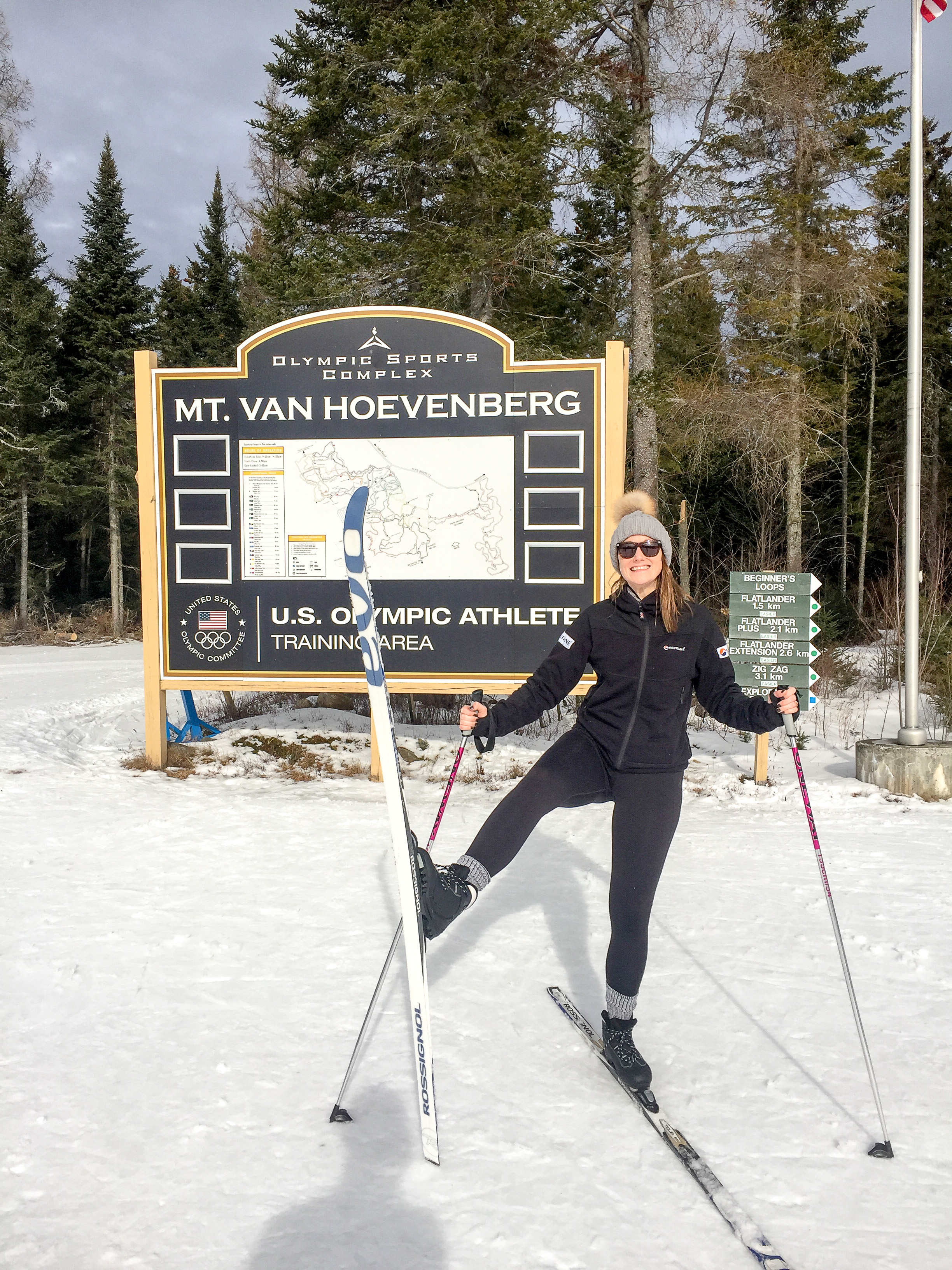
We are slightly spoilt for choice in the northeast US. With a trip to Lake Placid on the cards (home to the 1983 and 1932 winter Olympic Games), we had the opportunity to have a blast round their cross country course. The conditions had been pretty warm along with a forecast of rain, so going downhill skiing was a bit less tempting. Heading over to the the venue and we soon found ourselves kitted out with all the gear. Having spent years downhill skiing the difference in weight and feel of the kit still amazes me (comfy!). Admittedly the boots we had were very much the recreational type but its much more like wearing trainers (sneakers) compared to the heavy, rigid boots for skiing or snowboarding. And the bindings only clip the very tip of your toe to the ski. After a few pointers we were out on the course doing laps of the place - imagining ourselves as Olympians flying round the course in style (albeit a fair bit slower)! Having watched the olympics and the speed with which they can go round it is going to take some time and practise to reach those levels. That said, cross country skiing is relatively easy for snow newbies to pick up and much less intimidating than facing a steep downhill slope. I really recommend it if you are ever looking for a snow sport with friends of varying levels of ski skills and fitness.
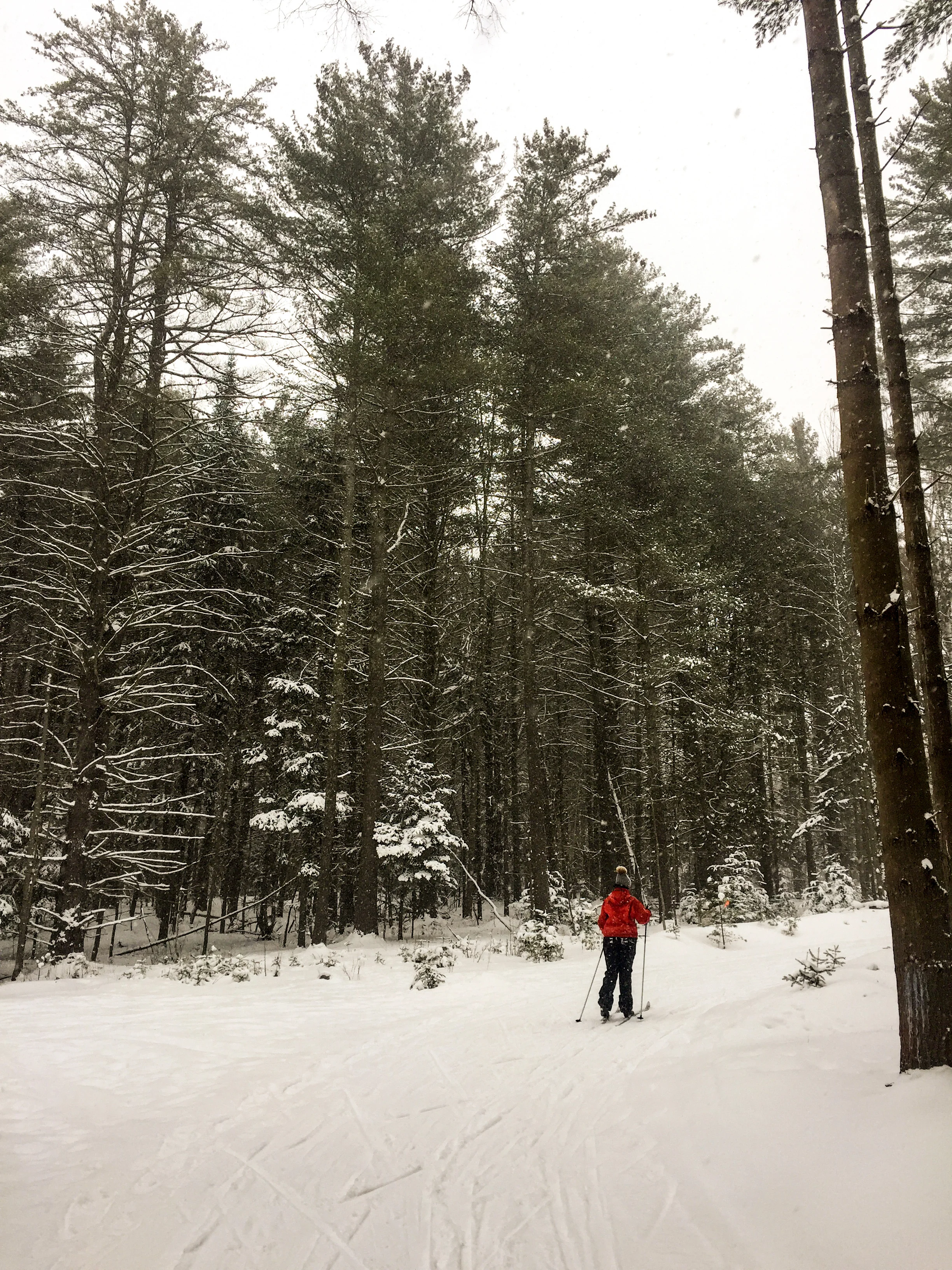
The course started in a large opening between the lodge and the old start line. There were kids, teens, grown-ups, octogenarians and even nonagenarians! flying all over the place with varying degrees of control, most of them a lot better than myself, clearly enjoying themselves and making the most of the break in the weather. We headed from the opening up towards the woods. The ice conditions in parts made for some interesting skiing as we got used to this relatively new sport. Particularly the descents, where despite being short and not very steep became quite challenging as I shot towards a tree… That said the majority was of the snow was softening up making it slower and easier for us, the woodland had protected the course from the worst of the conditions. (Tip for newbies: fresh fluffy snow or wet slushy snow are the easiest to learn on. Hard packed icy snow is great for adrenalin junkies! When in doubt call ahead and ask the lodge for advice on what time of day to go).
On the other side of the venue there was a competition taking place. Passing some sections we could hear cheers and clapping with the occasional glimpse of a racer shooting past. It certainly gave us an appreciation for the speed that you see the racers going!
After a few hours the sky began to threaten with a few splots of rain. Time to head indoors to taste our first maple steamer - a perfect warm combination of milk and local maple syrup to end. We will certainly be back for more and hopefully to try out skate skiing.
Mount Jo - New york
The plans for a weekend packed from start to finish with skiing were soon dashed by a wave of warm weather hitting the region. After a month of decent low temperatures everything was melting.
Having spent Saturday mostly cross country skiing, the day was finished when the rain began to fall. I don’t mind skiing in most conditions from hot weather to bitterly cold. But skiing in the rain is less enjoyable!
After an early finish we were all set for the next day. Rising early we found the car park to be a mini ice rink covered in a sheet of ice It turned out it was much the same as the nearby cross country course we intended to visit.
Instead we opted for a slow start to work out some new plans as we visited an outdoor equipment shop called High Peak Cyclery. After having a look round and a chat with the team they recommended heading to Mount Jo. A nearby spot which would provide a short hike to its summit.
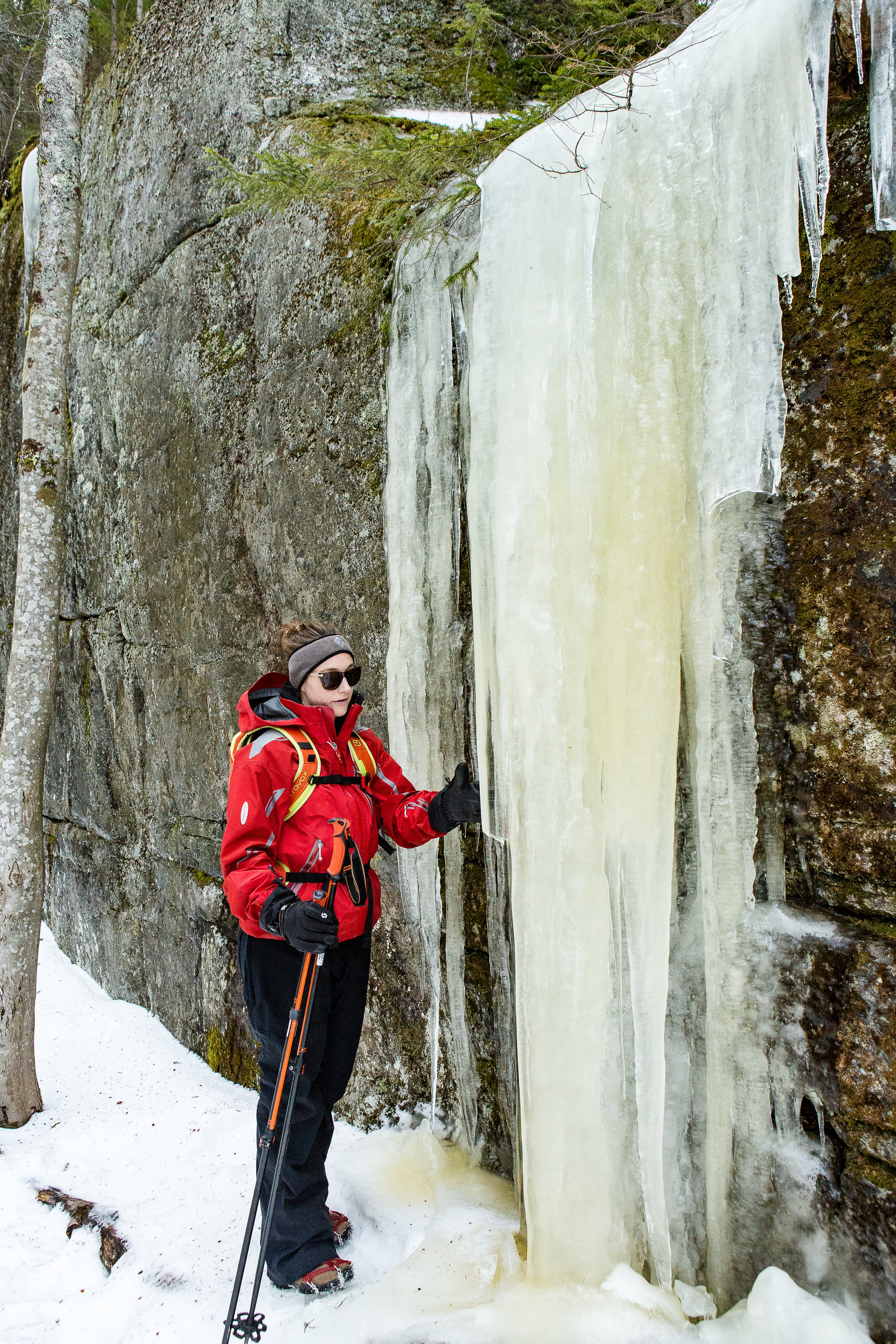

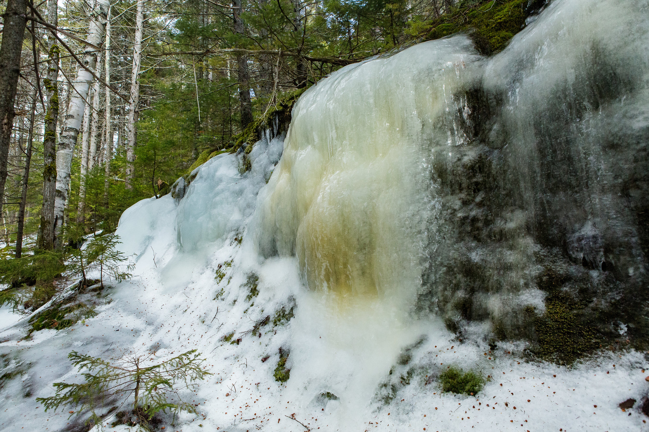


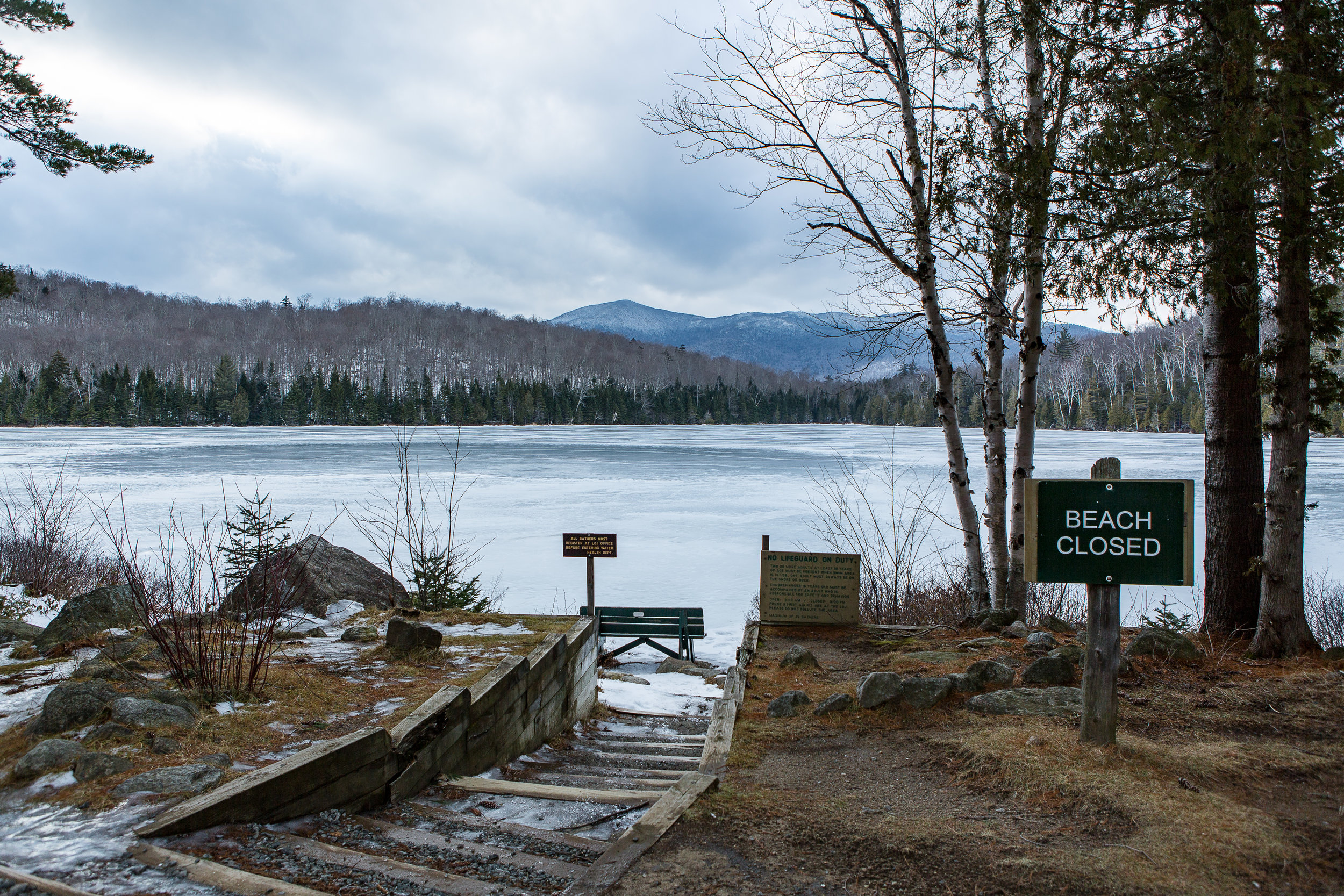
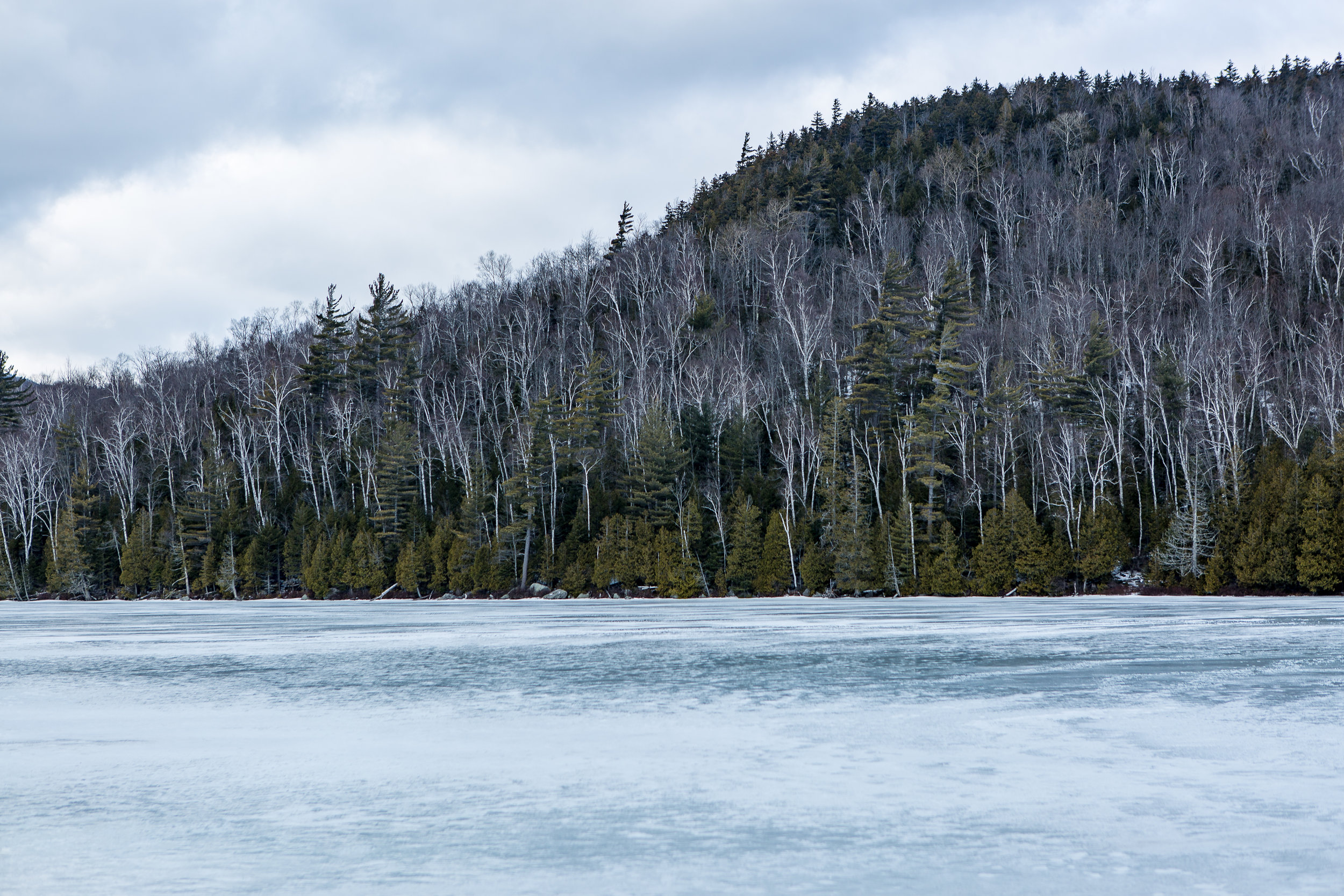
Armed with a map of the area, various bits of winter kit and some micro spikes we drove up to the starting point of the route. The sun was making the occasional glimpse and as soon as we stepped out the car the spikes were on. We made our way towards the trail head wondering past frozen streams, lakes and the entire path being one frozen slab of ice. Soon the path veered from the lakeside up towards the summit. Admittedly still a fair bit below it.
Despite the relatively warm temperatures that had hit the area the path was still coated in a huge layer of ice. And in some cases large steps of solid ice. We passed huge icicles dripping and in some areas collapsing with the sudden warm spell.
Bit by bit we made our way towards the summit before the final steps, arriving at the plateau with views over the valley beneath. As we sat down absorbing the winter beauty we could feel the difference in wind chill as we were now exposed to the elements with no protection from the wind. Below we could hear people playing on a nearby frozen lake as the sound travelled clearly through the cold crisp air. Compared to hiking in the summer where the trees and undergrowth cover and conceal the area the winter provided this opportunity to see all around us. Through the leaf less woodland bar the odd evergreen. Having spent much more time hiking in the UK where heading up the summit is often a treeless and open expanse I still find it strange despite being far more natural to have these woodland covered summits.
After a quick drink it was time to head back down the mountain. Very quickly we were reminded that it is often easier hiking and climbing up compared to going down. We scrambled down the steps and over some icy rocks to make it back to the initial path. I don't normally walk with poles, so it was an experience heading down with all this additional stuff! We soon came across the split in the path between the long path we had come up and the short path on the way down.
Although not much in it we chose the shorter path for a different view and way down. The short path as the name suggests takes a much more direct way down the mountain. We clambered down the icy structure that was a head of us. In many ways it was much easier than during the summer with all the rocks and rubble covered, it felt like we didn’t have to take quite so much care of tripping over the undergrowth. Which wasn’t entirely true as instead it was more about where we will get the most purchase from the tiny little metal spikes beneath our feet.
The final crux came through a little ravine, with trees to one side and a short cliff face with large icicles hanging down onto the path we meandered through this slightly steeper section. After picking our way down and passing another couple we finally reached the bottom. Our first winter ascent together.
Arriving at the bottom we headed back to the car. It had clearly been a warm day, by this stage rather than completely jacketed up i was hiking with just a thin merino wool top and the car park that was an ice rink had become a slushy and in some places stream flowing area. Now just time for some lunch!

Trail Run Racing North East USA
I recently took part in my first running trail race in just over a year and prior to that one it has been a couple of years. It also happened to be my first since arriving in the USA.
The race was along the Shawangunk ridge in the state of New York. It's a beautiful part of the state as well as being a tree covered ridge line with enough hills to add to the difficulty. The event had 4 choices of race lengths; 70, 50, 30 miles and half marathon distances. Each followed the same route you just jumped onto the course at different stages along the way. The beauty of it being point to point is the added interest along the trail. When looking out for races I managed to find a large number of them in the northeast of the US that did laps of a trail circuit. Both options have different benefits. But for my first one back in a while a point to point was perfect. You can check out the race details on the link below
https://www.longpathraces.com/shawangunk-ridge-trail-run
I had opted for the half marathon, having not had a suitable amount of time to train up for some longer I was thinking of using it to get me used to races run in the US as well as a good stepping stone to some longer events later in the year.
Turning up to the event early on a cloudy and cool Saturday morning I had estimated my finishing time. Not on many hard facts for this one just rough estimates based on the distance. As I got chatting to people at the start line it transpired that my estimation was probably off, a quick time for the half marathon and winning time the previous year was just over the 2 hour mark. Along with this a number of people mentioned various points in the course where it was difficult finding the route. There are route markers but they are intermittent and are just the normal Shawangunk ridge trail markers, rather than any additional ones being used other than at the end where some occasional additional red strings of tape had been used. I picked up the map which being for the full length of the course (70 miles long) didn't provide great detail on a side of A4 to really navigate by. With the route on my gps I thought this would suffice. But after speaking to the fellow runners I decided to try to download the route map onto my phone as a back up. Being out in the middle of nowhere with limited reception this took until part the way through the race to download fully. Better late than never.
My first yellow bus journey
Boarding a couple of yellow school buses at the finish line we headed to where the half marathon started. It was my first time on one of these American icons. Boarding the buses made me realise the vast array of runners from whippets at the front to experienced runners right through to those who fancied the challenge for a weekend. Arriving at the start line we all bundled out and did our final preparations before the race started. This along with the race briefing where getting lost was mentioned again. I hoped this would not be me...
We were set off in waves according to our running numbers and I quickly got into a rhythm following behind a few people. We were making good progress along the trail and had made the transition from the little tributary of a trail the half marathon started on to the main trail. It followed beneath pine trees on a hard packed trail as the day began to heat up. Well above the temperatures I was expecting. Rather than being in the mid teens (60F range as I get into the US metric) it was well into the high 20's ( high 70F low 80's).
All was going well till we passed another runner but he was heading in the other direction. It turned out the girl who I was following was his wife. They had a brief chat and she carried on. Now I assumed that he had come out to meet his wife on the trail and as she had continued on we must be heading on the right direction. Turned out this wasn't the case he was doing the 70 miler and we were going the wrong way. About 15 to 20 of us spread out along this part of the trail. Checking and re-checking the maps we turned around and headed promptly back in the reverse direction. We had travelled about 30 mins round trip in the wrong direction. Not ideal on a race that was already due to be a tough half marathon.
Turning around and it was back the way we had come. Sweat already soaking through my top. I met up with a runner who it turned out spent a lot of time of the years running in the area and knew some of the tougher sections of the course. It was great way of passing the time chatting away as well as getting some local insight on the course or at least pointing out some cool looking areas which I may have otherwise just run past without looking up. Despite being hard packed trail we had already passed one guy limping the other way having gone over on his ankle on one of a number of roots, which I had almost slipped on as well. The trail meandered along a spectacular ridge line with views up into the Catskills. The odd tree hinted at the transition to autumn or fall with the colours beginning to change but there was still a way to go for the real show to begin.
Views from a clearing
Making it to the second a final check point marked the start of a long ish up hill section. As well as a short scramble through a boulder field to reach the top. A definite possibility for some scrambling or potentially some bouldering at a later date. I had heard the area was famous for roped up climbing as well.
Making it to the top and my legs still felt pretty good I bid farewell to my running buddy for the morning and headed off. The trail flattened out and was beginning to descend towards the finish I passed by one of the 70 mile racers who was running in sandals although he was doing incredibly time wise looked to be struggling a bit. Think I would have looked distinctly worst at that stage of a 70 mile run! The heat of the day had clearly had an impact on me as I could feel the odd twinge of cramp setting in. I just hoped a random movement wouldn't set it off. Easing up on the pace for a bit I was trying to minimise the risk of it happening before picking up again. The course by this stage was a gentle descent through cool and damp under growth. With old pine needles littering the floor making for a soft cushioning feeling for the body.
Warm conditions out on the course
I came across a few more runners not really knowing which course they were on I greeted them as I passed them by on route to the finish. Coming round the corner and I was greeted to the bridge I had driven under earlier in the day. By now the day had well and truely cleared from the initial clouds of the early morning to reveal the view across the valley. I quickly stopped to admire the view before the final few hundred metres to the finish line.
Crossing the finish line and being welcomed to cold drinks, a toast with a very small beer and a slice of pizza was a perfect finish for the race. Before making a rather sweaty journey back south again.
16th place in 3hrs 10mins. Shouldn't have got lost for 30 mins! 1st place was completed in 2hrs 8mins. I think i will be back for one of these events next year.
Blinded by the sun a great shot...
Got any race recommendations? Or have any questions about trail run racing?
Catskills 3500
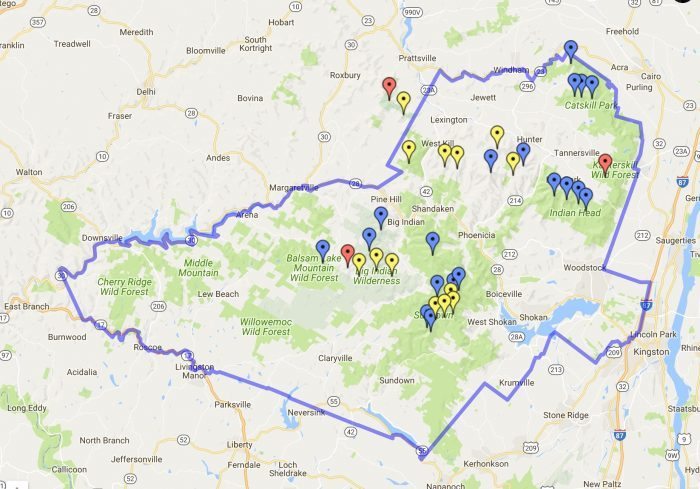
Not long after moving to the US I came across the Appalachian mountain club in my search for some backcountry skiing. After chatting with some fellow skiers they introduced me to the Catskills 3500 club. It's a group who wish to climb the highest 35 peaks in the state of New York. To "officially complete" the 35 peaks you have to repeat 4 specific ones in winter as well. Since spending more time with the guys and girls in the group many have finished their first round and are now well into multiple rounds. More on that later.
the 35 peaks within the Catskills
Every Saturday and Sunday throughout the year they have a selection of hikes. One free weekend earlier I got in touch with the groups leader. Not long later we got a reply saying we were all good to join them. These guys volunteer their personal time to take other folk up the mountains. There are of course safety briefings and waivers to be signed but none the less a cool experience just being able to rock up and meet someone who knows the mountains, surrounding areas and of course where to get some great food and drink afterwards.
First up was a couple of mountains called Vly and Bearpen. It was described as a bush wack. Sounding much more like an exploration through the Australian outback than some mountains in the north east of the USA. Which a bit like "mountains in Scotland" are not quite the alps but some brilliant playgrounds nonetheless.
Waking at the crack of dawn we made our way up north on what has become a standard weekend route. Coming across an ideally placed Starbucks on route for a coffee boost before the walk. This was also to become part of our Catskills hiking routine as long as we hadn't overslept the 5 or 5.30 am alarm on a Saturday or Sunday morning.
Rocking up we met up with a whole variety of people who had travelled from near and relatively far to hike these mountains. Unlike the vast majority of the UK version of 3000+ ft's these mountains turned out to be coated in a landscape of trees. Making it difficult to see or in some cases know when you have reached the summit.
We made our way up a muddy track past some go kart like off road vehicles making our way steadily up the mountain. The canopy of trees above us shading us from the increase heat of the sun as it began to rise above us. We soon reached the point where the "bushwack" began. A cross road and the saddle between the two peaks. Turning off the main path we wondered along what looked like a sheep track heading in a meandering fashion upwards. The odd tree marked with a blue splosh which turned out to indicate the boundary of a local land owner. The false summits came across even more bizarre as with all the trees in the way it was seriously challenging to work out whether the peak had been reached with no visual clues to go by. We passed a sign marking the crossing of 3500ft and the start of the no camping zone. Rounding the corner we came to a clearing with a can suspended high up on one of the trees. It turned out this small area marked the summit. Opening the can up we signed our names to show we had completed the hike to the top before turning back round and heading down to the saddle of the mountain. It was still mid morning as we reached the saddle. Being out in the hills in a new environment felt like an incredible experience and with it still being mid morning by the time we reached the saddle where we had cut off the main track very satisfying to think we had seized the day to get up here so early.
Vly down and on wards and up wards to Bear pen.
One of the cool aspects of these mountains is how visible the changes in flora are as the altitude and direction of the slope change. From dark and damp corners with lush vegetation dripping with droplets of water to the upper slopes covered in pines which look stunted in growth. We also witnessed areas on a number of summits showing what happens when the trees are cleared. Although revealing gorgeous views over the valley the irony is the scar left on this lookout point of a treeless, dry, bare patch of soil and rock on what otherwise from above looks like a pristine environment.
We meandered our way past a closed up cottage which made me think of the books I read on cabins in the far flung reaches of Canada and Alaska such as in call of the wild.
Heading up the hill we soon made it to the top. I was thinking it would be more like the alps with treeless summits and potentially the chance for some paragliding. Instead the narrow passages back down the mountain between trees Im sure would make for a daunting if not virtually impossible take off point. We came across another group who had a 70 and 80 year old in their group. I very much hope I'm still hiking up mountains at that age!! As we got chatting to the group it transpires one of them had once owned a now long gone ski slope that was once situated on the mountain. Some remnants of the lift we still evident on the hill side.
A quick bite to eat we headed back down the way we had come and out to the cars at the base of the hill. Our first two US 3500 footers. The day was still pretty early so we opted for searching out a good place to eat. We came across a place called the gunk house. Recommended in an awesome wee book called 36 hrs in New York and the east coast. Serving up wholesome German inspired food food overlooking mountains and apple orchards.
Now just 33 summits to complete....
Since then we have knocked off a few more and are almost half way at 23 to go.
If you are in the north east of the US check out:
http://catskill-3500-club.org/ - for the catskills 3500 club
http://www.outdoors.org/ - for the Appalachian mountain club
And for those in the UK why not set the challenge of the munros, corbetts or wainwrights
https://www.themountainguide.co.uk/highest/
Kite Skiing - In the White Mountains
For the last couple of years I have been playing around with kites trying to get into kite surfing and although I haven’t done masses it is something i have really enjoyed.
Back in the winter months I met up with Jamie from our Baffin Island expedition with the idea of heading to the white mountains for a spot of kite skiing and any other mountain activities we could squeeze into the time up there.
A couple of weeks out and the conditions were looking great. We were then hit by a heat wave as I watched the snow quickly melt. It was February and instead of spending the weekend skiing I was down on jersey shore in shorts and a t-shirt flying a kite instead.
Despite hoping for a final dump of snow it never came as we hit the road for the drive north. Conditions in Quebec looked marginally better but the additional day spent in the car wasn't going to be worthwhile. We soon found ourselves reaching our destination of Conway. A wee town with mountains on its door step.
The following day we met up with our instructor Zeb who has amassed an amazing breadth of experience in kiting and any activity that involves the mountains to the ocean. The conditions for the week were quite mixed which provided a perfect balance of classroom time going through theory of kite flying as well as working through everything kite related from setting it up to taking it down quickly and under control. All in the warmth of the mountain store.
Indoor Kiting Skills
As conditions improved we headed out to a nearby frozen potato field. Patches of ice shone turquoise blues in the sunshine. Pulling out the kites we laid them on the ground. Stretching out the lines as we had done been practising, it was certainly a different sensation doing it with large mitts on rather than board shorts . The final part of hooking ourselves in and putting our skis on.
One of the biggest differences of kite skiing vs kite surfing is you don't have the same challenges of the water start and that initial period of having to get just the right amount of pull to get yourself out of the water. Instead you are standing as we launch the kites and as soon as they pick up enough power we are soon gliding across the snow and ice.
Kiting Conway
As we got more used to the kites and conditions are confidence grew. We were soon zooming across the ice. We would occasionally hit patches of hardened ice where our skis would skip and skid as we tried to find some grip and purchase on our edges.
The next step was heading up wind. This involved digging our edges in even harder and working the kite in the wind to start tacking in the direction we wanted to head in. Bit by bit we began to get the hang of it making it slightly further up wind with each attempt. There were of course mistakes along the way as we got to grips with the setup. Factoring in trees, the large overhead watering system, the odd pipe and the occasional patch of solid ice was certainly different to kite surfing. And a bit like how I was told there are either paraglider who have hit a tree or those who will the same seems to hold true with kite skiing. As we got one of the kites spectacularly held up in one of the trees. Fortunately there was no spectacular crashes of being lifted into the air and ceremoniously dumped onto the ground.
Working our way up wind
As the week wore on our confidence grew along with our skills we were soon making it up to ends of the field we had been looking at all week. To continue spicing things up we also started including drills to take them down quickly in an emergency.
It had been a fantastic week with a huge amount to absorb but we both certainly wanted more time playing about with kites in the snow. Packing up we were sad to see the mountains grow small in the mirrors as we made our way south to warmer less mountainous areas.
Of course only a couple of weeks later the snow finally came and temperatures plummeted.
Windiest Place on Earth
Mount Washington The chance to ski on the windiest place on earth. Why wouldn’t I turn that option down.
Not long after moving to the North east I found out about an organisation called the Appalachian mountain club who were organising a ski tour up the Cog railway on mount Washington. Situated in an incredible area known as the white mountains in New Hampshire. Mount Washington I quickly discovered once had (only relatively recently beaten into second place) the highest recorded surface wind speed outside of a tropical storm coming in at 231mph.
It isn’t the closest ski area but with the warmer than usual temperatures in the north east it was always going to be about travelling further north to get the best snow possible. Unlike the previous weekend, the temperatures had certainly begun to cool down. As I started to make the drive north the weather began to change and by the end of the night it was snowing. I was seriously looking forward to getting out the car after a fairly brutal 7 hour drive after a full days work. As much as I wanted the snow I didn’t really fancy the slowing down of the journey.
OLYMPUS DIGITAL CAMERA
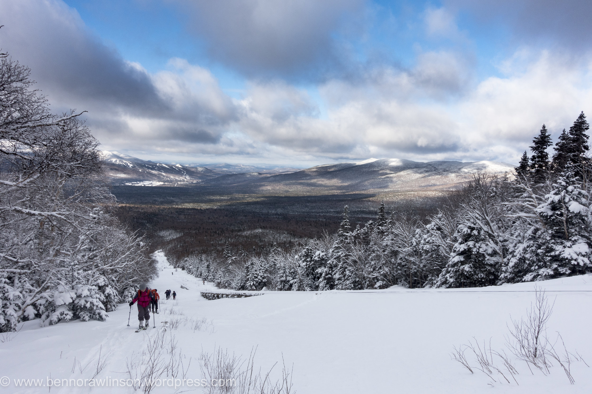
Arriving at the lodge I crashed out as soon as I hit the mattress, it didn’t feel like many hours later than the first people began to stir, all trying to get the best conditions for the day. Munching a quick breakfast all washed down with large mugs of coffee, I made my way to the meeting point. Now despite it once having the highest recorded wind speed on earth there is still a railway to the summit along with an access road. Our plan was to follow the train tracks up the mountain and once out of the tree line see what the conditions were like. Summiting was highly unlikely with forecasts of high winds and a thick layer of cloud covering it.
DSC04796
I had enjoyed the ski mountaineering racing but this was a completely different experience again. The pace obviously much more sedate with the emphasis being on efficiency and trying not to sweat. Compared to my race strategy of trying to go as fast and efficiently as possible. Which was more of a brute strength and endurance exercise. And certainly less care for the amount of sweating going on. It was however a lot colder, hovering around the -5 to -15F , a balmy -20 to -26C and the wind chill on top. Despite this it still felt quite warm as we meandered up hill surrounded by trees which looked incredible. Like frozen statues dotted all the way up the mountain side. Pausing occasionally to have a drink and admire the views behind and in front of us, despite the large bank of clouds hiding the summit. It wasn’t the blue bird day we had all hoped for but still fantastic being out on the mountain.
DSC04805
Arriving at the first split point and we soon bundled up as the temperature plummeted. We had come out of the trees and the wind now had us in its sights. The rail line had clearly taken the full force of this onslaught for quite a while as its frozen structure looked like something from another planet. Not even in the arctic had I seen buildings covered in ice to this extent.
DSC04807
DSC04815
DSC04812
A few of us opted to continue slightly further up the mountainside. It is safe to say we needn’t have bothered. All that proceed was some skating around on an icy surface of wind stripped mountainside. We tried to get purchase on what little friction we could get but despite this effort we hardly made it any further up for a lot more huffing and puffing. With the wind battering our faces and bodies it was only sensible to head back down. There was no chance of a summit today and the possibility of some better powder round the corner was never going to happen without some more hardware of ice axes and crampons. Even then we were not convinced there would be any great powder.
It was a quick turn around to get out the wind. I say quick but the ice and strong winds made it tough work wrapping up our ski skins to get them put away. Its like trying to roll loose duck tape up in a strong gale into a neat organised bundle.
And then the bit we had built up for, the ski down. Despite the odd patch of ice there were some great stretches of powder. The three of us who had tried to go a bit higher made the most of the descent getting in as many tight wee turns to float on the powder. In the hunt for some I managed to find a fairly lightly covered rock. Skiing over it I stopped almost instantly, trying to recover my balance from the forward momentum only to finally pop out of my bindings. Unfortunately one of the guys saw the whole thing unfold in a particularly slow and inelegant fashion.
DSC04821
We made it down to the bottom and back to the lodge for a well deserved hot shower and drink.
The next day I headed up to the in famous tuckermanns ravine. You can check out a couple of pro skiers hitting this on the link below:
https://www.youtube.com/watch?v=CM7YknhIKeU
It isn’t recommended generally to ski it until later in the season but whilst in the area I at least wanted to have a peek at what it was all about. I followed the trail up which is incredibly well marked. Past people snow shoeing up and a number of groups up for the weekend as part of a nearby ice festival learning about avalanche rescue techniques. The wind certainly felt less strong and it was definitely a warmer day than the previous one. Snow occasionally fell from the trees. It was a pretty magical sight.
DSC04829
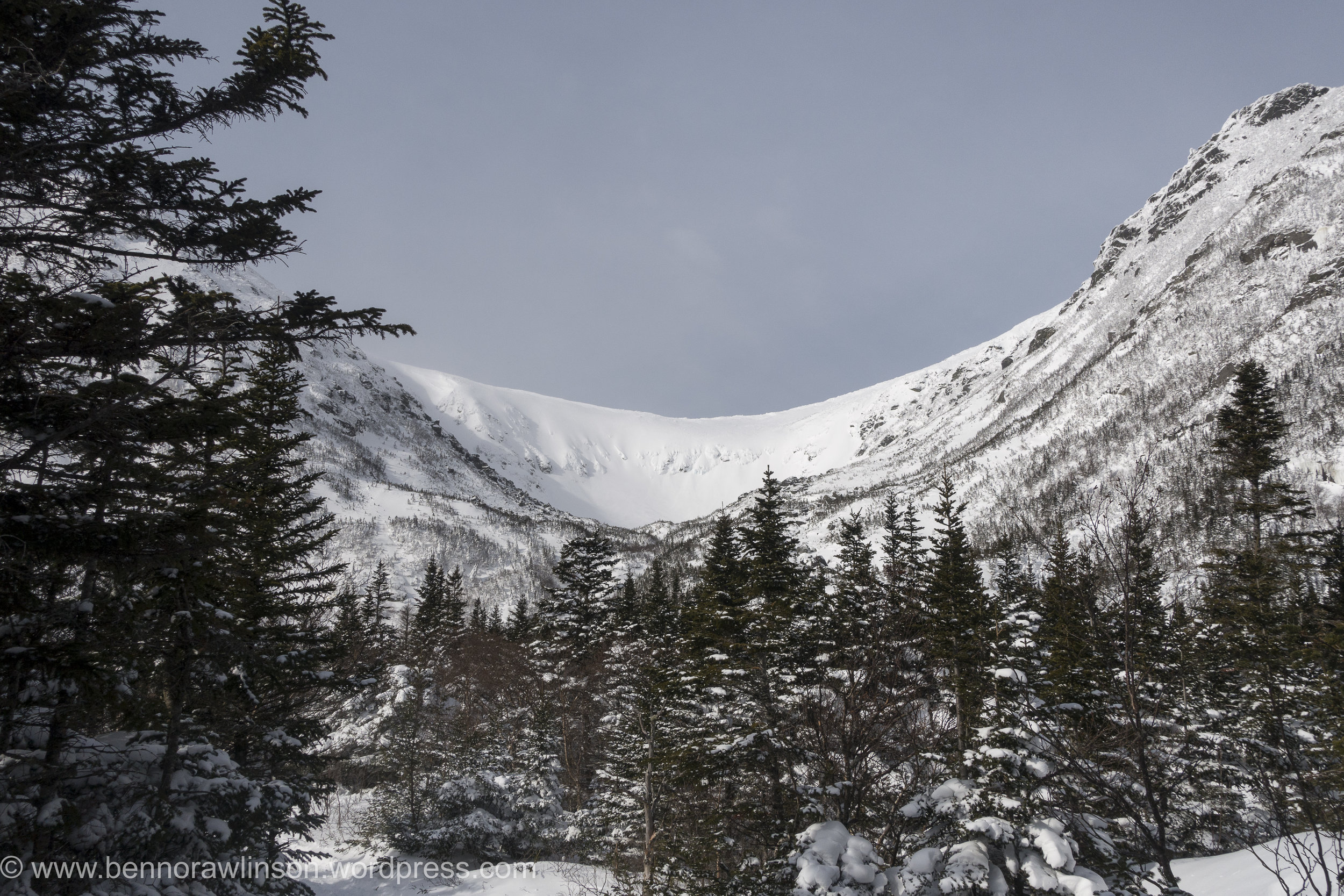
Slowly but surely the ravine revealed itself. Each glimpse between the trees showing a bit more until I came round the corner and caught sight of the whole area. With clear views of the summit of mount washington in the background. There in front the huge tuckermanns ravine and the steepest ski descents in the north east, or at least one of the better known ones.
DSC04830
Arriving at a small cabin and there were groups continuing up as part of their avalanche course as well as some skiers who despite the now windy conditions had opted to try a few routes. It looked pretty incredible and in places pretty intimidating even from a distance. I headed on up the mountain as I wanted to see the full face of it. Some of the slopes are up at 40 - 50 degree range. The wind had certainly picked up though and I was now taking a bit of a beating even if it was warmer than the previous day. Arriving at the bottom of tuckermanns and I could finally take it it. I definitely want to return to the slopes here and take on some of these descents.
DSC04832
Heading back down the mountain and my legs could finally enjoy a bit of a down hill ski. After trekking up it made for a nice change. Despite this I still had to walk a few bits at the top due to not being able to find a decent route to ski down as well as the path I walked up being really quite tight between rocks, trees and a small stream that with the warmer conditions wasn’t completely covered in snow.
C43A2315
I soon found myself down the bottom of the mountain just in time to munch a load of food in the car and before the return journey back down south to new jersey.
Skimo - Berkshire East
Over the last few years there has been a huge increase in the number of ultra running races and trail races around the world with people looking beyond the standard road marathon to get their athletic fix. Regardless of what I do the option to go out running in the hills and mountains is always tempting.
The winter months give an opportunity for some down time, change the activity or generally prepare the coming season. For a while now I have been reading and watching more about skimo racing also known as randonee and ski mountaineering. Which from a racing stand point and ignoring the degrees of difference in technical descents and ascents basically involves hiking up hill either boot packing (going up hill with skis on your back), skinning (ski up hill with special material on the base of the skis called skins) and then descending the mountains as fast as you can.
When I moved to the north east of the U.S. and with the mountains nearby I went about searching for an event to enter. I found the north east rando race series. A series of events around the north east of the US and the timing was perfect. My first weekend in the U.S and there was an event on.
With snacks for the drive bought, I woke in the early hours of the morning to make the 4 hour drive up the road. The conditions over the last few weeks had been warm and the day was looking to continue this trend.
Despite this there was still a chill in the morning air and with this came the occasional blanket of fog which made for some spectacular scenery particularly where there were small clearings.
Arriving at Berkshire east and there was one guy making an early start on the course in shorts and t-shirt. Which was a long way of my ski trousers and jacket. I hoped the day would stay cold, otherwise I was going to be ridiculously hot scaling the mountain. After getting organised it was time to start the race amongst a group of people ranging from the lycra clad to the occasional ski tourer.
Making a dash up the mountain the group soon dispersed as we made our first lap up the mountain. Before the first corner my jacket was as off and for the ascents only my helmet soon came off too. It was sweltering. First up hill done and it was the transition back to skiing down hill. The skins were off the bottom of the skis and everything switched back into ski mode for a brief ski half way down the mountain. This sounds much quicker than it was in practise, initially with the skins flapping all over the place nothing helps speed things up with either bad weather or the time pressure of a race. That and a desire to cool down on the descent. It was then a walking stage up a steep wooded part of the route with our skis on our backs before we exited the forest and could get ours ski’s back onto ski touring mode for the last bit back to the top of the mountain. Skins off and it was time to go full speed down to the bottom of the mountain to repeat this a three more times. On the way up I ended up chatting to one of the local ski patrollers and another guy who turned out to be the owner of the ski resort which passed the time and made sure we were going at a steady pace up hill. With the U.S elections only just completed it was certainly interesting to start getting more of a local insight into it.
With the day heating up I stopped to get some water from a nearby stream having used up my small water bottle over the first few laps. Despite it being in january most people had switched to open jackets or just a thin shirt. One guy had even opted to go topless.
After the third lap it was time to head to the second stage of the race on the other side of the mountain. Amazingly some people had already finished. The skiing down became increasingly harder as my legs became more tired. This was my first ski day of the season, ski touring race and I had literally arrived in the US three days earlier.
Despite this i finished the final couple of laps and very quickly ended up in the cafe for a well deserved feast of food before the prize giving. It was at this point I realised the quality of the field. Ranging from those competing for positions in the US team to the previous record holder Ed Warren for the fastest ascent of Denali before this was taken by Kilian Jornet. Certainly an impressive range of athletes.
All in all I seriously enjoyed the north east rando race and will certainly be working out how to fill the next seasons schedule with races. It mixes mountains, skiing and running into a pretty epic combination. By the end I was sufficiently knackered, yet despite this my legs still felt good enough the following day to tear through some laps of a nearby mountain before the rain descended on the area. I can certainly see why this is the perfect winter trainer or event in its own right when you have mountains nearby.
Bring on the next season.
For those interested check out:
http://nerandorace.blogspot.com
and for those in the UK there is always the Scottish one:
http://www.skimoscotland.co.uk
A long day in the Ben Lawers
With a waterproof map case at the ready this time we headed back to where we had started he previous day. It was a bit of a déjà vu. The weather hadn't really improved but we set our sights on the Ben Lawers and the first summit of Beinn Ghlas opposite the previous day's attempt. All being well we would continue on peak by peak and see how we got on with the aim of doing a wee circuit.
The first part of the walk took a route through a protected part of the hill. It was amazing to see how diverse the wildlife was there compared to the normal heather covered hills. Would be awesome to see those areas increased!
Heading on up we were in the shelter from the wind heading up switch backs towards the summit. We soon arrived, feeling good and the weather not being too bad despite being wet, windy and very cloudy we continued on.
Heading up Ben Lawers was equally quick. With no spectacular views to be distracted by we headed on to An Stuc. The route up was fine then coming over the summit the track leads down a crumbling, rocky and steep path. Fortunately it was in the lee side of the wind, it was certainly an interesting route down and one I would say was much more challenging than some of the ridge scrambles I have done in the past. Making our way down we soon reached the next shoulder to make out way a long.
Our route then slowly took us back up to the top of Meall Garbh. The temperature had begun to drop and the wind picked up. We huddled just beyond the summit having a munch to eat and a check of the map for our route. Following a fence line almost all the way to the summit of the final rolling mounds of the last Munro of the day. This section of the route was one of the wetter and muddier parts of the day. With our boots sinking into the thick peattie mud. Some areas previous people had dropped leftover planks and fence posts into some of the more boggy areas in an attempt to create a basic bridge across. These made for a fun balancing act mid walk. Marching on up the final ascent we reached the top where we were finally below the cloud level and could admire the route we had take along the ridge line. A quick bite to eat before dashing down the hillside to a small track servicing a number of mini dams along the hillside. It was an interesting network of mini dams spread across the all the main tributaries and redirecting the water back to a few main dammed up areas. It was pretty impressive. Trekking along and soon the heavens opened. After being dry most of the day we were soon walking a long hoods up and very much looking forward to a hearty evening meal.
We had been using a cicerone guide to the region which suggested taking a beeline traversing around the hillside along a back to the car park. In principle it was a good idea. It was the most direct route. However once we started it proved to be slow going. With a number of small ravines to negotiate along with the sodden ground our boots and clothing were soon clean of any mud. My ankle still recovering from the previous event didn't appreciate the unevenness of the ground and despite the drop in height we opted to get into the road as soon as possible before regaining the height. In retrospect it might have been quicker heading all the way down to the loch side before heading back along to the turn off.
Making back to the car we were one of the last out of the car park. It had been a fantastic day. Although we weren't initially sure about heading round the full ridge it was certainly worthwhile.
Munro's:
An Stuc
Beinn Ghlas
Ben Lawers
Meall Garbh
Meall Greigh
Although the week hadn't gone quite as we had planned we had achieved between us the total of 30 munros in a week as part of a celebration for our 30th this year. Made me really appreciate the effort that it would take to take on something like the bob graham or the Ramsey round.
Weather is on the Change
Looking at the mountain weather forecast for the coming days was not great reading. Cloud free summits at between 10% and 30%, rain heavy at times and wind speeds hitting gale force levels as the days went on. Perfect Scottish walking conditions.
The plan was to go for 4 munros for the day. Heading up the valley we soon spotted a vey clear path on the opposite side of the river to the part we were walking on. Our track soon came to an end as we trudged back to the start.
Finding our way through yet more wet sticky bog to reach the path we had seen became an interesting challenge in itself with elements of the route feeling more like a series of small streams. We finally made it onto the path and route up the valley we had spotted previously. It was also at this point that we spotted the route we could have taken if we had continued slightly further a long our original route on the other side of the river.
All about us small streams trickled off the mountain side allowing us to stop for an occasional drink from these whilst basking in the sunshine. It was starting out to be a glorious day. Heading up the onto the saddle between a few hills the wind hit us. Clearly we had been sheltered by this in the lower valley.
A head of us lay a large swathe of boggy ground before the initial ascent of ciste dubh. The start of the route zig zagged its way up through soft, thick brown sludge. As we came over a crest of the main ridge taking us too the top lay in front of us. It was a spectacular sight.
Overhead the clouds were beginning to build and the wind pick up. We continued trudging on up with a shear drop to one side and a steep slope to the other and views over the nearby lochs it was building up to be the favourite summit of the tour. The thought of these being snow covered and skiing down these slopes would be incredible with the right conditions.
The final part of the ridge was marked by a series of false summits. Each once getting our hopes up before another peaked its head above again. Finally reaching the top, the views were spectacular. After spending the previous day on a ridge line being on a single Munro surrounded by the other peaks was incredible despite meaning we had to go all the way back down before making another ascent.
Despite some of the challenges on the way up, the down was remarkably quick. And we were soon heading up the other side, a steep grassy slope towards the next summit. The winds were really beginning to build up and we only stopped briefly at the top before heading up toward the next summit. As we dropped onto the saddle the winds would increase until we were back into the shade of the ascent. Each time we got buffeted by the wind the temperature would plummet.
We were on a role but as we made our way towards the third summit of the day the wind was beginning to be a considerable force which with a considerable drop on the down wind side was certainly less than welcome. The winds were due to pick up to around 50mph. With this beginning to occur and a natural route down off the hills we made the decision to call it a day and head down.
The route off was initially a lot better than the previous day with a gentle decent back into the valley. This became less than ideal as we hit a fenced off wood land. Skirting round this was definitely possible but the ground was sodden and despite the wet weather a number of bugs and beetles sought refuge in our clothing, faces and hair. You could feeling them crawling all over us. Each one raising a number of expletives as we were attacked from all angles and our feet sank deep into muddy puddles.Hitting the main road was a delight.
Despite our delight it was short lived as we became shocked at the amount of rubbish that lay just next to the roadside amongst the beautiful highlands.
Don't leave a trace.
Munro's
Ciste Dhubh
Aonach Meadhoin
Munro Bagging
c43a1977
We started the week with an ambitious plan of routes, with the aim of bagging as many munro's as we could whilst meandering our way through the Scottish highlands. We had slight trepidation with the weather set to change for the worst. After a couple of weeks of good weather and the bank holiday on the horizon it was a big ask for a further week of dry weather.
Setting off for the most northerly point on our quest in our trusty Landy towards Glen Shiel and the gateway to the Isle of Skye. Arriving to a glorious evening where we ate at the nearby pub over looking Loch Duich before preparing for the next days long outing.
IMG_4772.jpg
We woke the next morning to an autumnal feel. Dew glistened on the grass and leaves whilst the colours looked like they were changing to slight hues of reds, oranges and yellows. It was looking to be a perfect day for a walk. Arriving at the start point we noticed a few other walkers covered from head to toe as if it was a freezing day. Getting out of the car we soon realised why they were covered as the Scottish midges were out and descended on us as fresh targets. I was nibbled within the few minutes I left my arms exposed.
IMG_4784.jpg
To escape the midges we quickly departed the car park and headed the meandering path towards the foot of the first munro. With hardly a breathe of wind we could hardly enjoy the view for a moment before they descended on us again, trying to nibble any exposed skin. The path began to zig zagging its way up onto the ridge line where we were to follow for the day.
DSC04715.jpg
Seven munro's stood before us on the South Glen Shiel ridge. Each hidden by the one before preventing us from seeing our finish point, which we were very thankful of in many ways. The day turned out to be a scorcher as our water began to run low and we certainly heated up. Each summit was a mixture of rounded tops to the odd scramble. Despite this we met a few other walkers including a group on very good form despite not liking the occasional element of exposure.
DSC04736.jpg
C43A1972.jpg
IMG_4788.jpg
DSC04719.jpg
DSC04708.jpg
C43A1975.jpg
After a day of relatively good weather the final summit clouded over. With the guide book advising on a more direct route down to the main road we made a bid in this direction and soon picked up the start of a rough path. This however disappeared clearly at a point where people either turned back or everyone took on the ethos of "everyone for themselves". Making our down steep boggy ground with no signs of it finishing. Until we came across a sheep track that meander alongside a beautiful stream where we could top up on some more water. Not without its challenges as the bottle top fell off and floated down stream before securing it with a walking pole before it descended the next small water fall. The final section finished with a small detour through woodland. Slipping and sliding our way down through the wet under growth before arriving at the road side. We had been joined by a couple from Edinburgh for the final descent who we had a quick celebration with before attempting to hitch hike back to the cars to finish the evening.
img_4797
The pint of coke in the bar never tasted so good.
7 munro's down:
Creag a' Mhaim,
Druim Shionnach
Anoach Air Chrith
Maol Chinn-dearg
Sgurr an Doire Leathain
Sgurr an Lochain
Creag nan Damh
Screen Shot 2017-02-04 at 22.25.40.png
Sky Run - Peak District
With trail and ultra running ever growing in the UK it was only a question of time before the sky running series made its way to our shores. Big in the Alps the race formats are normally marathon plus distances in the mountains with the aim of taking in peaks and ridges along the way. At one extreme you have the Salomon sky run along the Aeonach ridge, a grade 3 scramble to others which are much less technical. This weekend was much less technical in comparison but with 29 miles and 2000m of ascent it wasn't to be sniffed at. Especially when this height gain to distance ratio puts it in a slightly more aggressive category than UTMB or the Lakeland 100. Admittedly despite that fact being floated about, those races are a much more incredible feat of human determination and endurance.
A short recce the day before took me to the top of the first climb, Solomons Temple near Buxton with great views over the course of the following day. A final bit of race preparation was enjoying an incredible meal at the Samuel Fox inn, potentially a tad much for a pre-race meal but with this being my first outing back into ultra racing for a couple of years my aim was to enjoy the day and start getting back into it.
img_4498
Wondering amongst the competitors it was great to chat and hear stories of competitions completed and planned for the coming year. From quick dash fell runs to the rather more brutal races such as King Offas Dyke 185 mile race or the 268 mile Spine race in January along the pennine way.
img_4509
The race commenced and we made our way quickly up to Solomons Temple with short pauses as we were funnelled onto single track. Despite the forecast being of overcast conditions I was glad I had packed some sunglasses for the day with the sun beaming down on us. As we rounded the temple with a bagpiper playing up top we began to spread out as we started our decent already. This was going to set the stage for the day with every ascent marked soon afterwards by a descent and slightly demoralisingly loosing all the height just gained.
The route took a course along ridges, through moorland, bogs and of course up a number of hills.
peak-skyrace-final-pdf
With a well marked course we could concentrate on the running and getting our feet in the right spot. With plenty of opportunities for twisted ankles amongst the rocky tracks being light on our feet and an emphasis on twinkle toes was the name of the game.
The only slight mistake came when chatting to another competitor about his up coming race in Oman. Taking the wrong turn we led out towards a farm building only to realise we had gone half a mile in the wrong direction. Slightly devastating as was the sight of maybe 20 odd runners who had followed on behind us. Quickly making up the ground we had lost we all made our way back into the course and meandered back down the hill side.
Running through one boggy area I came across a pair of Oakley sunglasses that had clearly dropped off one of the runners in front and were gently perched on some long grass. Picking them up I handed them into a later checkpoint. You never know when you might be in a similar situation. I didn't have to wait long!
img_4536
About 10 mins later the course was incredibly beautiful and one I would have certainly wanted to capture more of it wasn't for the fact I dropped my phone. Fortunately it was picked up by one of the other competitors not far behind me. A quick snap and with it firmly packed away for the remainder of the race after learning my lesson and not fancying a repeat before heading on.
The course meandered on and my pace ebbed and flowed as the terrain and distance took its toll. The three food and drink checkpoints on the route hit the spot every time. With the opportunity to refuel on chunks of banana, succulent orange slices, flapjack, soreen and of course a wide array of other goodies. I try to make these as quick as possible and continue to eat as I walk along out of the checkpoint. Partly this is to not get too comfortable and I would much prefer to finish sooner.
img_4537
Chatting with some of the fell runners it was great to see them descend in front of me. I still don't understand how they did it so quickly other than through a bit of experience and raw tenacity to descend quickly! I envisaged face planting a rock face first if I tired the same so clearly an area I can improve on.
The route went past quiet a few climbing and bouldering spots with chalk marks on some and people clambering about in the sunshine on others. Unfortunately it would have to be for another time.
As the day wore on I went over on my ankle. With my run going well this was pretty disappointing but deciding to walk it off for a bit I soon managed to break into a trot again. Some of the rocky ground though became much trickier to negotiate as my ankle seemed to get twisted on even the smallest of stones.
Finally the town of buxton came back into sight. I was delighted despite not being able to increase my pace a huge amount. One guy asked if we were to have a sprint finish. As much as I wanted to my legs and ankles had run out of juice. I was happy to finish the race at a plod.
Within moments of crossing the finish line I was welcome by a flat coke, my trainers coming off and my wife looking at me in a slightly sorry and apparently "grey" looking state.
img_4535
Despite the ankle it was awesome getting back into the running again having been out of ultra running for a couple of years. I was remembering all the elements i had learnt about through training runs, competitions and chats with numerous runners and trainers. I finished middle of the pack which may not have been my best result ever but it was one I will certainly remember. I would certainly recommend checking out the sky running series with a greta mix of terrain and distances.
img_4534
Helvellyn Circuit
With a weekend of spectacular weather on the cards and a wide range of walks across the Yorkshire moors, Dales or the Lake District to choose from we were certainly spoilt choice. After much debating over these options and gaining some local knowledge we set our sights on Helvelyn in the Lake District. With a choice of routes to go up Helvellyn including the famous striding edge it was set to be a fantastic outing.
screen-shot-2016-09-08-at-08-46-45
Waking the next morning and rushing for the curtains I was welcomed to a view of low cloud and overcast hills. Not quite what we expected. Stepping outside the cool weather was perfect for walking and so I began filling a couple of flasks with hot water in preparation for some cooler ascents.
As we headed out along the a66 with awesome views over the Pennines the cloud began to lift. As we drove down onto the western side of the pennines we were greeted to glorious sunshine. The temperature began rising and the thought of no sun cream along with the hot flasks of water all began to seem like daft ideas.
Arriving in Glenridding the car parks were jam packed with rucksack and map carrying hikers. Brilliant to see but dashing our thoughts of being in the wilderness. Gathering a few final essential supplies including the sun cream and chocolate bars we were ready to begin. The chocolate unfortunately did not make the journey as it was eaten in advance before we started.
We headed on up the valley.
Wondering along side the stream that flowed through the village. Huge chunks of it were missing and the foundations of some houses completely exposed showed just how powerful this meandering stream had become in the floods over the winter. There was still a decent amount of work to be done before everything was back in order. Still evident from the number of trucks, diggers and reinforcements being put in place.
The route up was a path that carved its way up the hillside with only a short detour taking us away from the swathes of groups heading up the hill. In front and behind of us were a steady stream of harden walker to enthusiastic opportunist, young and old, tourist and local as well as a few dogs thrown in for good measure.
C43A1318
As we reached a small plateau in front of us we could see striding edge with the silhouette of walkers making their way across it. The sun was beaming down on us and it's safe to say the sweat was beginning to stream off me at least.
c43a1328
The edge itself was great fun, certainly in this weather. Despite being occasionally exposed it wasn't like tryfan or crib goch in Wales and in this dry and sunny weather it made for a great outing. Despite this you there were reminders to tougher times with a memorial to Mr Dixon who fell off it in 1858 whilst running with hounds, as well as the occasional scrape from crampons left over from a previous winters. It would certainly be a challenge in cold, wet and icy conditions. One for another day! Darting over the rocks we paused occasionally to soak up the views and let some of the blockages on route ease up. The final chimney proved to be the biggest pinch point of the ridge yet despite this we watched as one guy virtually ran along the length of the ridge swerving round people while a rather elderly looking gentleman made this chimney look a piece of cake. There were of course many others for whom this was not quite so simple but seeing the elation and satisfaction from everyone on conquering striding edge was awesome to see.
C43A1326.jpg
Making the final ascent up to the summit which flattens into a great plateau we reached the top. To beautiful views over the surrounding valleys. Sitting down with our feet dangling over one of the slopes we munched on some sandwiches as we watched the start of some fell runners coming up from the other side looking remarkably fresh. We briefly joined the throng of supporters cheering on the competitors before they made their descent.
Surveying the surrounding routes we opted to not go for the well trodden path up Catstye Cam but to meander round along a flat ridge line. The sights and smells brought back memories from many a previous trip up into the hills.
C43A1325
On reaching what we thought would be our final summit, with us both still feeling pretty fresh and the day still young we set our sights on a further peak and ridge line. Passing school groups and walkers relaxing on the slopes whilst soaking up the afternoon rays of sunshine. It was definitely far too hot for the still steaming bottles of hot water I had packed in the cool yorkshire morning.
We made our way along a final ridge with hardly a soul about. It felt much more like the walk we had both expected being slightly more out in the wilderness. With the sun beaming down on us the occasional sip on cool stream water was incredibly satisfying.
The final descent into town was through a field packed full of blue bells lit by the soft evening sunshine. It was a pretty spectacular find for the end of the day, especially as this bit had been an unplanned extension to the day. Before the final descent into town.
c43a1336
c43a1356
Sitting down to a plate of chips and a pint of coke was a delight. We could relax enjoying the evening and the feeling you get from being outdoors all day. A mix of tiredness and satisfaction at what has been achieved. All that was left to do was get some flip flops on, essential after any walking trip and head back to yorkshire for the night.
Scottish Ski Touring
IMG_3178.JPG
After much deliberating over the last few years I finally took the a spur of the moment to get some ski skins after chatting to one of the team at a local ski and mountaineering shop in Perth. For those who haven't heard of these, it is a material where all the hairs lie in one direction so when stuck to the base of the ski they allow the ski to slide in one direction but hold in the other. Along with a touring binding the whole setup allows your foot to pivot up and down so you can trek up hill.
The first trial trip was just at the end of a beautiful days skiing at glenshee however this coincided with the wind picking up. With the temperature plummeting and the skins flapping around I learnt a lot about the equipment and using it in poor conditions. Some of which I should have checked in the warmth of the house! The short notice of good conditions in the hills meant for a quicker trip and slightly rushed prep as I cut the skins to shape at midnight the evening before heading off.
IMG_3730
After the initial delay I was off. Gliding along the snow, over snow drifts, heather, ice and rock. I was rewarded with views from the high point across the valley. You could see the snow line across the valleys and the winding road up to glenshee. The nearby stream gleaming in the sunlight. All topped off by a great ski down. The little bit of effort rewarded with untouched Scottish powder, not quite the depths of the alps or further afield but powder nonetheless. I passed a couple making a similar journey up the hills.
IMG_3191
The second outing was much better with perfect weather and the snow was due to be good in bits despite the recent warmer conditions. Being in the hills covered in snow is a beautiful sight as was meeting a few like minded people up there. I stopped to discuss route options and snow conditions with a fellow ski tourer. It also gave me the chance to cool down despite the cool breeze I was vastly over dressed for the constant trekking and "warm" weather. If it had been the arctic I would have definitely been sweating far too much. As it brought back memories of the tougher days we had whilst trying to minimise any sweating to an absolute minimum in order to prevent our clothes from freezing.
IMG_3195
Some of the more exposed slopes were quite icey. I don't mind skiing down ice but skinning up hill in a zig zag fashion makes the turns quite interesting. Still perfecting my technique I slid back occasionally on the turns as I shifted round.
It was slightly gutting every time about the loss in hard won height despite it only being a tiny difference. Once at a decent height it was time to head down hill. Skins off, realising I had forgotten the gauze that makes them easier to pull apart, I packed them away eager to hit some fresh snow. Heading down into some of the bowls the skiing improved and I could carve out some turns down the hill between clumps of heather. Before slowly making my way back to the car.
It was a great experience learning a new skill but there is the greater satisfaction knowing you put in the hard graft to experience and reach the area you wanted to ski in. I learnt about how using normal ski boots although does work is not only much heavier but you don't have nearly as much flex in the ankle which ended up giving me a couple of blisters.
End of a good day
IMG_3185 (1).jpg
Despite skiing in Scotland being a bit of an experience compared to the likes of the alps. It often involves some rock, streams and heather avoidance. Its close, you can get some incredible conditions particularly if your willing to put some effort in and I will certainly be doing it again! Skiing and ski touring in particular in Scotland is certainly on the increase with the snow lasting well past spring if your willing to go away from the ski areas. As well as allowing you to visit areas with potentially more snow and certainly a lot less skied on gives that adventure and exploration experience.
If you have some ski or other touring experiences why not share the story or the pictures here or on Instagram #Mytour
Chamonix with Run the Wild
It has been a couple of years since I found myself in chamonix during winter or summer. Finally I was heading back albeit for a very quick trip with Run the Wild. Jumping on the last flight to geneva followed by alpybus a shared mini bus trip up into central chamonix. Despite the late night arrival it all worked really smoothly as I had forgotten how quick and relatively easy if is to get there.
We awoke with views out onto Mont Blanc, relatively early to get all the supplies,equipment and other bits and pieces ready a head of meeting the runners we were due to be taking out on the mountain. The plan was to meet them for a food and water stop before joining them part the way along the route to run in the final section together.
Despite it being September the sun was out in full blast, I was wishing I had some sun cream!! The views of Mont Blanc were fantastic with clouds occasionally covering the summit, known as a lenticular cloud. The weather despite looking fantastic was not to last with high whispy clouds showing the high winds at altitude and the change that would happen. For the moment though we could enjoy it! With fresh legs at the ready the gang of runners set off from St Michaels church in Central Chamonix.
We pulled up and jogged out to get some action photos amongst the woodland. The timing was perfect as within moments they came round the corner. In good fashion a local dog also decided to join the photos.
Running back to the food stop and we could catch up on the days running so far as we went along. The food stop had a fantastic spread with everything from gu gels to local cheeses and of course hot tea. Having not run and sampled the morning breakfast quite heavily, I found myself still pretty full.
As they headed off we had to quickly pack up drive over to la flegere and get up the 1000m to the refuge in a pretty quick fashion! With my Aarn bag packed with some essentials and then it was straight onto the trail as we route marched past walkers enjoying the scenery whilst we flew past them. Sweat dripping down our faces and our already, or at least mine was, soaked tops. Despite this we manage to talk about what Si had been learning about on the topic of fauna for his up coming mountain leader assessment. I was trying to work out how he was managing to continue speaking which turned out he was wondering how I kept being able to ask questions.
The time remaining certainly made if quite tight with meeting them, as we got closer I was checking my watch constantly to see how much time we had remaining. As we ascended the gaps between the trees reduced till we were basking in the sun rather than the shade of the woodland. Coming round the corner we could see the restaurant marking our meeting point just as the runners heads poked above the crest of the ridge. Perfect timing. We stopped for photos, a quick drink and a chat.
Joining the group for the descent was a welcome change in pace and gradient. Taking the slope in our stride we began weaving down the mountain, avoiding the exposed roots and stones that littered the trail. I am always amazed at the route and how technical it is as there is a famous ultra race called the utmb which covers some 160km and around 8000m of ascent. Si who we were running with, did this race the other year and hearing the stories first hand on the brutality and beauty of the event, it was certainly inspiring whilst jogging along.
The trail was a series of switch backs all the way down the mountain some sections you could let your legs stride out where others demanded a lighter step between the obstacles. Coming round the bend we had arrived at a beautiful cafe perched on the mountain side. It was the perfect place for a quick coffee before the short descent into chamonix.
We reached the church where the day had begun, despite the weather due to turn against us it was still sunny. Heading back to the hotel and the spa that awaited us. After a days good running we could stretch out on the grass surrounded by mountains taking in the views before a sauna and a trip into town.
We went along to meet up with the team from Ravanel & Co which is a treasure trove for trail running equipment in the summer and no doubt in the winter equally well equipped. Not only that but the staff are all seriously impressive athletes themselves. Would definitely recommend them, next time will probably take a much emptier rucksack.
Waking on Sunday and the weather had closed in with thunder storms forecast it was not the day to be in the mountains. Instead we opted to explore the local area and head for a short walk further down the valley before heading off to the airport.
Arriving in london and it had been such a fantastic yet quick trip, certainly one that I could happily repeat. If you fancy experiencing trail running whether just breaking into it or want to be beasted on the trails in the uk or abroad then check out run the wild.
Scambling Tryfan
Following a better nights sleep due to us not sliding down the hill, we woke to a beautiful morning, unfortunately it was not due to stay that way.
Heading into Llanberis and we hadn't decided exactly where we would head but first thing first was breakfast and sorting out some new boots due to the fact that they had completely stopped being waterproof. Not ideal during the welsh summer. Joe browns outdoor shop turned out to be a great place for kit and advice. We had soon narrowed down the selection on both the boots and our route for the day. We had decided to go for the classic Tryfan ascent which I had described to Laura as not much of a path and a bit of a scramble. The whole thing can be a good scramble if you choose the right route and equally certain parts can be a full on climb or a gentler route up. So there is something for all levels.
Our route to the car was slightly diverted to a shop packed with honey, I had never realised there was so much choice. We found ourselves being given a master class and tasting by one of the bee keepers from numerous different jars that covered the counter. Each one had its own distinct flavour and he could tell where the bees had sourced it from as different flowers had come into blossom. Not being able to resist I came away with some tasty souvenirs. Definitely worth a visit if you are in the area. You can check the place out on the link below.
http://www.snowdonhoneyfarmandwinery.co.uk/
The weather started off not looking to great with a bit of a shower but it soon cleared enough that the heat of being in waterproofs far outweighed the slightly damp weather as we scrambled further up the route. We started at the same point as another couple but within moments had opted for different routes each preferring the look of a different part of the mountain. Its part of the beauty of tryfan there are a huge number of different routes you can take depending on how adventurous you are feeling.
Each turn we took we could choose a variety of different routes which made the journey all the more fun, sometimes heading up a section to turn back and sometimes forging on. What became very noticeable was the degree of adventurousness improved as the rock dried out and our appreciation of what we could do changed. We also invariably kept crossing paths with the original couple at the bottom of the hill. Making parts of it seem a bit like a race. I am not entirely sure they were thinking the same thing....
One of the first highlights of the day was coming across this huge sticking out rock that we decided to clamber on (find out what it is called)
Heading on up and the ground flattened out before sharply rising upwards. The route we took skirted round the side of this. It followed a small track round the side with a steep ish drop to our left down grassy gullies. We could watch climbers coming up the side of the mountain which was amazing to watch as the occasional head poked above a rock.
Weaving our way round we found ourselves at the bottom of a gully with a number of people and quite unexpectedly a Labrador. As we clambered up finally passing them we ended up having to go back and give the couple a hand getting the dog up the route. It wasn't an easy situation with both the route ahead and behind being very difficult for the dog.
Coming out the of the gully and we were at the top confronted with the stones of Adam and Eve. People were already on top of them and jumping between them. After a drink and some well needed food it was our turn. Looking down from them and they certainly felt a lot higher and the gap wider!
We continued on down the mountain scrambling away as we picked our way down to the path off the hill. You can link it together with the glyders which would be a really good walk but that would have to wait for another day. The environment and surroundings constantly changed as we descended; from the craggy rocks, to heather and finally to a well trodden path with streams merging together. We found ourselves coming out further from the car than we had wanted so finished up along the road before that great feeling of switching boots for flip flops.
Our search for food that night started at pizza and a pint but due to it not being open settled for a fantastic pub filled with people and massive portions.
The next day we woke to a cleared out campsite as people had left due to the weather turning bad. Due to me mixing up the breakfast order we found ourselves on breakfast round two. Back at the honey shop for welsh cake! Certainly not a disaster.
With the rain set to continue and a long drive a head we detoured to the slate mine with some huge zip wires. Unfortunately both that and the tours of the mines were full. We found ourselves wondering around checking out the area before making the long and incredibly wet drive back down south.
Check more of my photos out from the trip below:
https://www.flickr.com/photos/bennorawlinson/sets/72157646928749422/
Bank Holiday in the Glyders
The august bank holiday came round incredibly quickly, the weather was looking a bit touch and go. Despite the grand plans of finding the perfect campsite in the few weeks beforehand, I found us both searching frantically for one with space on the Friday morning we were due to head to Wales. If you have found the perfect campsite wherever it is then please share! We found one right near llanberis in the heart of snowdonia national park and it had space more importantly, you can check it out on the link below.
http://www.campinginllanberis.com/
It looked like it was a great spot with some fantastic views and it all sounded very promising with camp fires allowed. A big positive was with it being near Pete's Eats cafe, which is a great spot for a pre-walk feed that I had been introduced to on my previous trip.
Following what seemed like a fairly epic drive post work in London to the north west of Wales and it was time to setup camp in the pitch black whilst not waking the whole campsite. Fortunately despite our late arrival there were others in a similar situation. Like the rest of the perfect pre-planning of the trip I had never put the tent up before nor seen a picture of it, neither of which are a great start. I would generally recommend you do at least one of those before heading out with a tent. The weather despite the down pour as we drove into the village had subsided for long enough to find a pitch in the dry and get the tent up first time. Something was on our side! Trying to be as quiet as possible with a foot pump is a bit of a challenge with it wheezing and coughing with every compression. Before trying to squeeze in the ridiculously large double air mattress that was literally bulging out of the tent . It was a last resort due to the lack of a smaller one. As drops of rain began to descend on us it was time to jump in.
We woke surprisingly early with the tent being heated like a sauna in what felt like a very short space of time. Although there was the occasionally wriggling about in the close space thanks to sleeping at the wrong end of the tent and the realisation that the "slight" slope actually meant sliding into one another all night.Due to the heavy one me squeezing the air out of my side,however we still felt relatively fresh.
With map in hand we headed down for breakfast at Pete’s Eats cafe, my head was beginning to kick into gear with some ideas of where to walk that day. With steaming mugs of coffee, a big plate of food each and a map sprawled out on the table the idea of heading to the glyders came about. It would be more quite than some of the other hills especially as more rain was set to come in.
It was soon chucking it down as we headed down the road in the car, looking at each other the thoughts that we were being a bit daft was certainly drifting through both our minds. Waterproofs on and that first step out of the car, which is always the hardest. After that with rain bouncing off our hoods we were off.
Making our way up the hill with the odd detour to take in some of the sights and have a bit of an explore. The intermittent rain, low cloud and a touch of sunshine made for only fleeting glances around at the spectacular views shrouded in thick cloud. We stopped part way up to admire some waterfalls and fill up on some fresh welsh stream water, which tastes so much better than the London water. No surprises there!
We made our way up to Glyder Fach where we had a bit of a scramble up and around the rocks including on the “famous” cantilever stone. Perching on the end surrounded by cloud certainly didn’t reveal much of our surroundings. As we made our way off the summit the cloud would occasionally lift to reveal the area we were walking as well as Castell y Gwynt meaning castle of the winds. Although not the highest peak on the ridge the stoney outcrop is still over 3000ft high but is not included in the welsh 3000’s list due to being classed as a Nuttall, Regardless of this it is a great one to scramble up as the jagged rocks are a pretty awesome sight. They were also quite sharp as I noticed a bit of a crimson mark on my trousers which after a quick look round was coming from my hand.
The final section was up Glyder fawr, the wind was rushing up the valley and over the ridge line, with the low cloud and mist this did make for a rather spooky scene. With the time ticking on we needed to head down. As we lost height the scene became a lot clearer and so we carried on down a steep gulley which looked like there was a path at the bottom towards a wee lake and from there we could head back to the car. By the time we reached the bottom of the initially gully, the “start” of the path was in fact some rather soggy ground. The remainder of the trudge down was slow going as the paths carved out by sheep seemed to dot around the place. We scrambled over rocks, through heather, streams and boggy ground occasionally watched by a nearby sheep.
Finally reaching the (lake) Llyn Cwmffynnon and the stream leaving it. Despite the weather it was very tempting to go for a swim, until we felt the temperature and the thought of the walk back still to do. One for another day!
We arrived at a packed pub full to the brim and with food orders on hold the only option left was to start with a couple of cold pints with a packet of crisps before the main of a huge burger turned up. Lamb of course.
Heading back to the camp-site the place was a light with camp fires in front of every tent, it was beginning to rain again as the temptation was quickly replaced by that of jumping into our sleeping bags. .


