Journal
Paragliding in Switzerland
With a real appreciation of the risks involved in paragliding I wanted to make sure I found what I considered to be the best place to learn. There is nothing wrong with slow and steady that I could achieve in the UK and it would definitely keep building up my knowledge bit by bit. But you can’t beat an intense period of learning to really boost it. So the prospect of a week somewhere paragliding about the place was all too appealing. After sifting through forums, websites and any other tips i could find I came across Verbier Summits. Run by Mike and Stu who are twins their soul moto is to be the best and safest paragliding school in the world came across as the winner. As the name suggests they are based in Verbier in the Alps of Switzerland. The fact that I would be surrounded by beautiful mountains, swiss/ french food and being outdoors all day was an added bonus.
I booked last minute and soon found myself on route to Switzerland. Despite a delayed flight by quite a few hours, resulting in me having to hire a rental car that I wasn’t expecting to in order to get up the mountain, I finally ended up at the chalet for the week in the very early hours of the morning. The benefit of this was I was running ridiculously late for my flight so despite the added inconvenience it meant I made my flight. I woke slightly groggy from the few hours of sleep i got to the sight of mountains all around. A quick breakfast and a boat load of coffee before hitting the classroom. We went through the agenda for the week. There was definitely going to be one day at least in the classroom as well as at the end or morning of somedays but the aim was to get us to be qualified to the club pilot level by the end of the week. There was a completely mixed group from beginners to experience paraglider's/ skydiver's and everything in between.
Taking the drive up to the gondola we pilled our paraglider into the cabin before diving into the gondola in front. Paraglider packs are not the smallest and it only took a few of them to fill a cabin. Arriving at the launch pad and it was an incredible sight. The views from high above the valley were incredible and we weren’t even flying at this point. They took us through the safety briefing again. Pointing out the various landmarks and ultimately the field we would be landing in. The difference between looking down on the Isle of Wight vs Verbier was equally daunting.
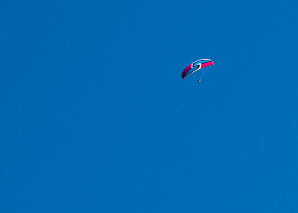
Setting up just the same as previously and then it was time to make my first flight. I was given the signal as the breeze began to run up the hillside. Our wind marker fluttering in the wind. I ran down the hillside. Feeling the wing rising above me and beginning to pull me from the hillside. Soon enough my feet were off the ground and i was flying out into the valley. I was also looking down several 1000 ft. The different conditions felt a bit bumpier initially than what I had previously experienced back in the UK but as I looked down on Verbier it was an incredible feeling. We were directed on the radios, initially this was very regular communication as they watched us all the way into the landing area but as the week progressed it became more about us feeling the glide. To pass we had to show a certain amount of competence from take off through to landing.
The final part of each flight being lining up the landing, as we approached had to consider the direction, speed and height as we came in. Observing the bright orange wind sock showing us the direction of the wind. I did of course have some nerves on each flight but as we progressed and I felt more confident these relaxed a little. As the week went on we managed 3 - 4 flights a day each being 30 mins or so and as we progressed they incorporated exercises into each of them. Building up our skills along the journey. I really enjoyed the experience of learning the new skills each day and you could see and feel the progression through the week. Towards the end we were making solo flights with a lot less input, they were obviously watching and making sure we didn’t do anything stupid but it still felt like we had a lot more within our control. We could start making journeys across the valley, making sure we avoided the other pilots as well as playing a bit of follow the leader.
It was certainly sad to see the end come to the week but it had been an incredible experience. I would highly recommend Verbier Summits as a paragliding school and certainly hope to join them in the future. We all qualified as club pilots, which sounds a lot more qualified than it really is. It is merely a small step in a much longer journey of learning about paragliding. If you fancy giving it a go why not check these guys out, high adventure on the isle of wight or there is always the BHPA (British hangliding and paragliding association) where you can search for an instructor near you.
Paragliding in the UK
I have been debating whether or not to write about paragliding for a while. Partly because it has now been a couple of years ago since I did it. But, more importantly, by far, is I unfortunately had a family member who was killed during a sky dive and a few friends who have been injured paragliding. So making the decision to have a go is filled with so many thoughts, questions and concerns mixed in with the excitement of trying something that I have watched for years.
Going back to 2008 I got my first taste of paragliding. I was out in Argentina on a ski trip where we heard of someone offering paragliding tandem jumps. It was near my birthday and I jumped at the opportunity. There wasn't a huge amount of lift that day so it was a fairly short flight but nonetheless it sparked an idea to try it again one day.
Fast forward to 2015 and I had my chance. Whilst on Baffin Island I had been listening to a audio book called Hanging in There by Jon Chambers. It's quite a niche subject but despite not knowing much about paragliding I enjoyed it as it helped pass the time away. It was interesting hearing about how they pushed the limits of technical skill and ability during the competition as well as inspiring me to have another go at the sport of paragliding.
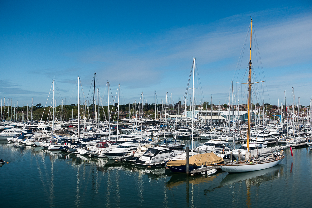
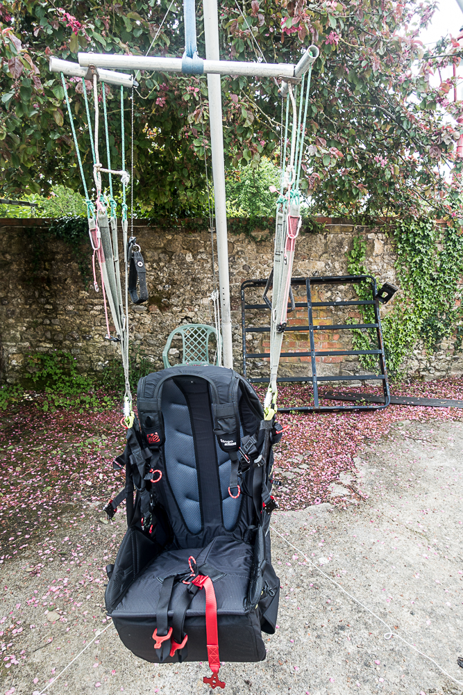
Once back in the UK from Canada I had a look round and came across High Adventure Paragliding on the Isle of Wight. Finding a route over from Southampton was easy enough and I made my first journey over to the Island. Jumping on the ferry from Lymington to Yarmouth. I sat on the top deck in the glorious sunshine as it pulled away into the channel not far from Christchurch where I had previously practised ocean rowing. I met up with Pad the instructor where he went over how we would progress and an introduction to paragliding. Outside the office sat a swing setup like a paraglider without the wing where we could go over some of the basics before we headed out to the hill.
Chilling in the Sunshine on the Top deck
Pad took the time to show me how to setup the wing as we laid it out for the first time in a small valley looking out onto the sea. I could see in the distance small white horses gleaming in the sunshine.The sea breeze channelled up this small gorge providing the lift for us to play on. He talked me through it bit by bit before showing me the first short flight of him lifting and dropping down safely. The main point being to concentrate on each section of the journey and breaking it down into shorter sections. The first bit being the take off. Wing primed it was a case of waiting for the right breeze before running down the hill. Bit by bit the wing would rise above before it felt like you couldn’t run downhill as it started to lift me from the hillside. Focussing on the direction I wanted to go i ran harder, i probably looked like some odd bird desperately trying to take off in a completely ungraceful manner. I was finally up and enjoying my short and sweet flight back down to the grassy slope beneath me as I was directed on the radio.
Paragliding swing
The day was spent making longer and longer walks up the hill, setting up under the supervision of Pad before waiting for his signal and taking off for a small hop down the field. The feeling each time was incredible with that small piece of weightlessness cruising down the field and landing. It is of course a big learning curve and I was trying to absorb as much as I could with the terminology and new technique. In the midst of all this I even forgot to about lunch which soon passed me by.
As conditions became stronger into the early evening it was time to call it a day. We finished up with a tandem ride. Taking off near one of the cliffs we cruised backwards and forwards on the sea breeze. It gave me a true feel for what it would be like to be able to paraglide by myself with nothing but the wind on my face. I even got a go at steering us along the cliff line.
We made our final top landing on the cliff before packing up. We made our way back to the ferry and I was excited about my next time already.
With me being a beginner and it being Britain that next flyable day took a bit longer than expected. But soon enough I was on day 2. This time from a slightly different location and a bit of a longer path to fly. I got to practise some reverse launches. This is where you get your paraglide to form a bank in front of you further up the slope as you fill each of the pockets. Once ready and with the wind at the right level towards you I would pull the paraglider up where it would ideally slowly rise above me before I would smoothly turn around and run down the slope. After I got the knack of remembering which way to turn around, the lines at this point are twisted over one another, I quite liked this method. It was a lot more visual and i felt you could see what was happening through each stage.
Came across an adventurous Renault Clio
Again a lot of the day was spent marching up and down the hill. Each landing meant the packing up of the wing before quick marching back up the hill for the next round. Not wanting to miss out on potential flying time I marched up and down as much as I could. By the end of the day there was a bit more flying to do and a written test to complete the first stage. I managed a couple of more days in the UK each time heading higher up the hill side and getting more valuable air time.
At this stage though I got the opportunity for a week of intense paragliding.
Tesla Hertz 50km Ultra Run
After building the training up bit by bit and a half marathon as a warm up the next stage was a 50km ultra marathon out on Long Island. Its called the Tesla Hertz ultra race. Making it sounded like an exceptionally well sponsored event!!
Unlike the last race, being point to point, this was a steady 10mile loop with barely a hill to match. As bizarre as it sounds having some hills makes for a nice change on the body along the route. However with it still being hot and this being one of my first ultra's back in a while not having to carry a huge amount round due to it being laps was definitely going to be a big advantage.
Friday night and with everything finally packed for the weekend I headed out first to get some last minute supplies and then onwards to Long Island. One of the key things after almost getting cramps at the last race was some electrolytes. Back in the UK I had found the cheapest and best solution to be dioralyte, designed for dodgy stomachs it seemed to hit the spot every time. Searching for something similar in the US I have come across something called pedialyte. Pretty much exactly the same thing with a different name. It's also rumoured to be an excellent hang over cure. I don't think it beats irnbru on that front though.
Arriving at a massive campsite for the night I setup camp for the night with the occasional bug bite in the process before jumping into my sleeping bag. It was incredibly humid and my sleeping bag designed for Scottish summer meant I was roasting. In the process of this restful night's sleep I jumped out mid way through the night for a bathroom break and in the process stubbing my toe on the only curb around. Back into my hot and sweaty sleeping bag with a throbbing toe it felt like no time at all before my alarm was going off in my ear. A slightly unique alarm sound to wake up to. If your interested check it out below.
Getting out I was greeted to a thick blanket of fog wrapped over the forest. Taking the tent down whilst trying not to wake the rest of the campsite. A quick bite to eat and I was ready to head to the start of the race. I made the short trip to the start of the race, bumping into a few fellow competitors before a quick sign in. As we signed in people who had started in the early hours of the morning doing 50 miles, 100kms or 100 miles crossed over the start line for another lap on route to the finish. Greeted to a round of applause it was inspiring to see.
The tesla hertz race had a attracted a wide variety of people from all over North America to compete in. Located near the historic site of tesla tower a radio mast that was originally aimed at sending messages back to the UK it was a very fitting event.
A quick photo from the start and brief before we made a start. Bizarrely I found myself near the front of the race. I say bizarre as I've normally sat around the top third to top half. I was happy enough though and was making good ground. The blanket of fog slowly lifting from the trees and replacing it with an ever increasing amount of humidity. It still felt like pretty ideal conditions. Running through the cushioned hard pack trails past trees starting to show glimmers of fall. The ground littered in a variety of fungi. My knowledge in this areas is low to none (basically don't eat the red ones...) but I'm sure for the experienced picker this could have looked like a natural feast.
Making to the first check point I was excited to see whiskey and an array of treats. Including Swedish fish and peanut butter and jelly sandwiches. This is not an early American conversion but something that had been growing on me for quite a while. Fortunately this is considered a perfectly reasonable lunch request or sandwich/ bagel deli request. For those used to running events particularly road running events these aid stations might seem strange but for longer races the prospect of being sustained on energy gels is not particularly appetising! I made a fairly quick transition through this not wanting to loose much time before heading back the way I came. It was a cool feature of the race being able to see how far behind the next competitors is. The answer was not much.
Running further along and we started coming across more people out on their morning cycle or run. The day was definitely heating up bit by bit. Coming up the brow of the one and only hill was a perfect little break from the constant flat gradient. Crossing lap one I and they had water melon! I may have ended up eating too much this race but watermelon on a hot day was seriously refreshing!
Lap two and I could feel I was slowing a little bit. The competitors in front I would briefly see running the opposite way just before the aid station and check point on the lap. But apart from that it felt like I was alone in the woods running round the trails. It was at this stage that the sun had finally broken through at it was hitting the high 70's low 80's (high 20's/ low 30s). My water consumption had suddenly gone through the roof and my top was soaking. It was time for my top to come off. I've generally not had the need to do this back in the UK but the heat was pretty intense. Once it was off I immediately felt cooler.
The one and only hill came and went by slower than the first. Before lining up for lap 3. It was at this point and I am not sure what triggered it maybe the fact I hadn't been passed by anyone but I wondered if a lap was 10km not 10 miles. Checking out my watch and asking a couple of people I pasted about what distance they were doing and I was pretty sure I was on track with it being 10 miles. I grabbed some more electrolyte at the start line for lap 3 and a bit more food and water before the making a start on the next one. Despite not doing an ultra for a while the idea of constantly fuelling the body is something I haven't forgotten. I knew that especially on a hot day like it was missing the opportunity to eat and drink could catch up with me quickly.
The final lap was by far my slowest, admittedly it was what I was expecting to average for all the laps it just worked out that my first two were much quicker. Being out in front though kept my mind thinking that if I could just keep a steady pace I should finish in a good position and ideally hold where I was. I hadn't seen the guy up a head for quite a while and as I made my way up towards the aid station I wasn't expecting to see him as for the entirety of the race he had been up a head by an ever increasing amount. Just as I reached the station though I reached him. Not only that but I was surprised by my wife, Laura, who had after a red eye flight driven out to Long Island to see me running. The final chunks of watermelon and pb & j sandwiches consumed before heading back out onto the course for the final 5 miles ish. On my way back out I passed a few people who had made ground on me but I was confident I could maintain the gap for the moment at least. Not long after I came across the guy who had been a head race. We ended up running most of this final stretch together passing the time chatting about various races. Towards the end he managed to pull away, my legs no longer feeling fresh and not much left in the tank I didn't manage to close the gap as we headed up towards the finish line. Finally crossing in 5 hours 27 min.
I was elated about finishing and even more so for being in 2nd place. As we walked back to the car for a celebratory chocolate milkshake I cramped up crossing the road whilst stepping up the curb. Almost falling back in could have been a bit of a disaster but fortunately Laura was there with a helping hand.
The drive back was long but pain and cramp free!!
Trail Run Racing North East USA
I recently took part in my first running trail race in just over a year and prior to that one it has been a couple of years. It also happened to be my first since arriving in the USA.
The race was along the Shawangunk ridge in the state of New York. It's a beautiful part of the state as well as being a tree covered ridge line with enough hills to add to the difficulty. The event had 4 choices of race lengths; 70, 50, 30 miles and half marathon distances. Each followed the same route you just jumped onto the course at different stages along the way. The beauty of it being point to point is the added interest along the trail. When looking out for races I managed to find a large number of them in the northeast of the US that did laps of a trail circuit. Both options have different benefits. But for my first one back in a while a point to point was perfect. You can check out the race details on the link below
https://www.longpathraces.com/shawangunk-ridge-trail-run
I had opted for the half marathon, having not had a suitable amount of time to train up for some longer I was thinking of using it to get me used to races run in the US as well as a good stepping stone to some longer events later in the year.
Turning up to the event early on a cloudy and cool Saturday morning I had estimated my finishing time. Not on many hard facts for this one just rough estimates based on the distance. As I got chatting to people at the start line it transpired that my estimation was probably off, a quick time for the half marathon and winning time the previous year was just over the 2 hour mark. Along with this a number of people mentioned various points in the course where it was difficult finding the route. There are route markers but they are intermittent and are just the normal Shawangunk ridge trail markers, rather than any additional ones being used other than at the end where some occasional additional red strings of tape had been used. I picked up the map which being for the full length of the course (70 miles long) didn't provide great detail on a side of A4 to really navigate by. With the route on my gps I thought this would suffice. But after speaking to the fellow runners I decided to try to download the route map onto my phone as a back up. Being out in the middle of nowhere with limited reception this took until part the way through the race to download fully. Better late than never.
My first yellow bus journey
Boarding a couple of yellow school buses at the finish line we headed to where the half marathon started. It was my first time on one of these American icons. Boarding the buses made me realise the vast array of runners from whippets at the front to experienced runners right through to those who fancied the challenge for a weekend. Arriving at the start line we all bundled out and did our final preparations before the race started. This along with the race briefing where getting lost was mentioned again. I hoped this would not be me...
We were set off in waves according to our running numbers and I quickly got into a rhythm following behind a few people. We were making good progress along the trail and had made the transition from the little tributary of a trail the half marathon started on to the main trail. It followed beneath pine trees on a hard packed trail as the day began to heat up. Well above the temperatures I was expecting. Rather than being in the mid teens (60F range as I get into the US metric) it was well into the high 20's ( high 70F low 80's).
All was going well till we passed another runner but he was heading in the other direction. It turned out the girl who I was following was his wife. They had a brief chat and she carried on. Now I assumed that he had come out to meet his wife on the trail and as she had continued on we must be heading on the right direction. Turned out this wasn't the case he was doing the 70 miler and we were going the wrong way. About 15 to 20 of us spread out along this part of the trail. Checking and re-checking the maps we turned around and headed promptly back in the reverse direction. We had travelled about 30 mins round trip in the wrong direction. Not ideal on a race that was already due to be a tough half marathon.
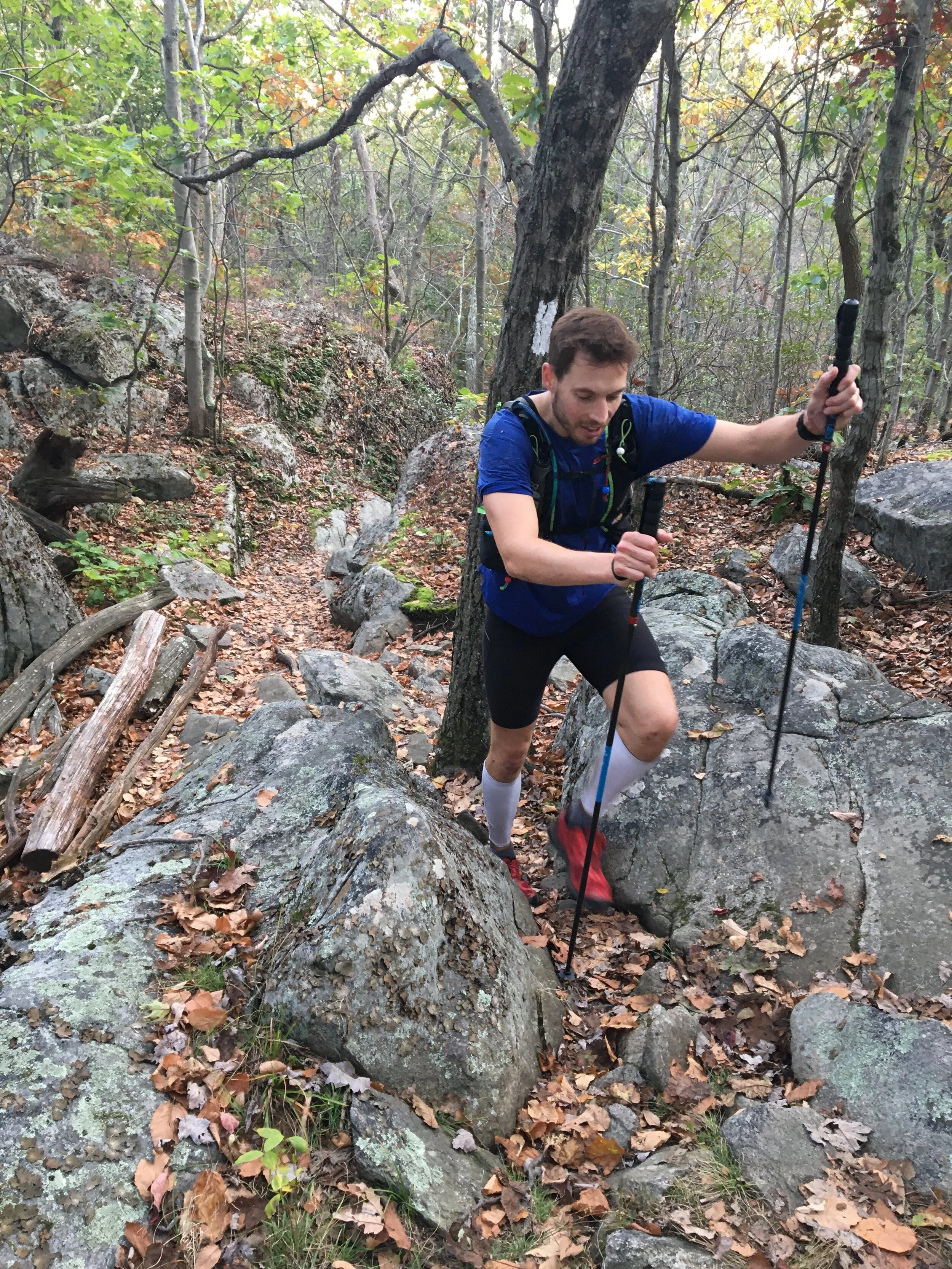
Turning around and it was back the way we had come. Sweat already soaking through my top. I met up with a runner who it turned out spent a lot of time of the years running in the area and knew some of the tougher sections of the course. It was great way of passing the time chatting away as well as getting some local insight on the course or at least pointing out some cool looking areas which I may have otherwise just run past without looking up. Despite being hard packed trail we had already passed one guy limping the other way having gone over on his ankle on one of a number of roots, which I had almost slipped on as well. The trail meandered along a spectacular ridge line with views up into the Catskills. The odd tree hinted at the transition to autumn or fall with the colours beginning to change but there was still a way to go for the real show to begin.
Views from a clearing
Making it to the second a final check point marked the start of a long ish up hill section. As well as a short scramble through a boulder field to reach the top. A definite possibility for some scrambling or potentially some bouldering at a later date. I had heard the area was famous for roped up climbing as well.
Making it to the top and my legs still felt pretty good I bid farewell to my running buddy for the morning and headed off. The trail flattened out and was beginning to descend towards the finish I passed by one of the 70 mile racers who was running in sandals although he was doing incredibly time wise looked to be struggling a bit. Think I would have looked distinctly worst at that stage of a 70 mile run! The heat of the day had clearly had an impact on me as I could feel the odd twinge of cramp setting in. I just hoped a random movement wouldn't set it off. Easing up on the pace for a bit I was trying to minimise the risk of it happening before picking up again. The course by this stage was a gentle descent through cool and damp under growth. With old pine needles littering the floor making for a soft cushioning feeling for the body.
Warm conditions out on the course
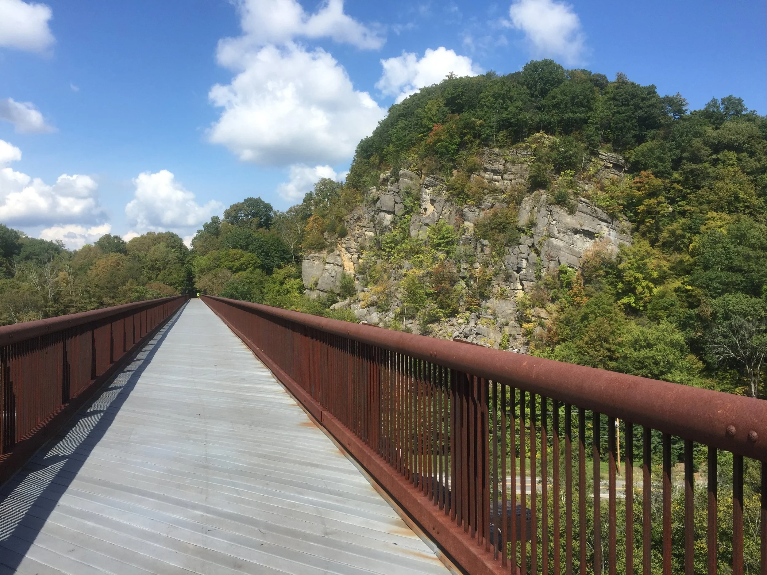
I came across a few more runners not really knowing which course they were on I greeted them as I passed them by on route to the finish. Coming round the corner and I was greeted to the bridge I had driven under earlier in the day. By now the day had well and truely cleared from the initial clouds of the early morning to reveal the view across the valley. I quickly stopped to admire the view before the final few hundred metres to the finish line.
Crossing the finish line and being welcomed to cold drinks, a toast with a very small beer and a slice of pizza was a perfect finish for the race. Before making a rather sweaty journey back south again.
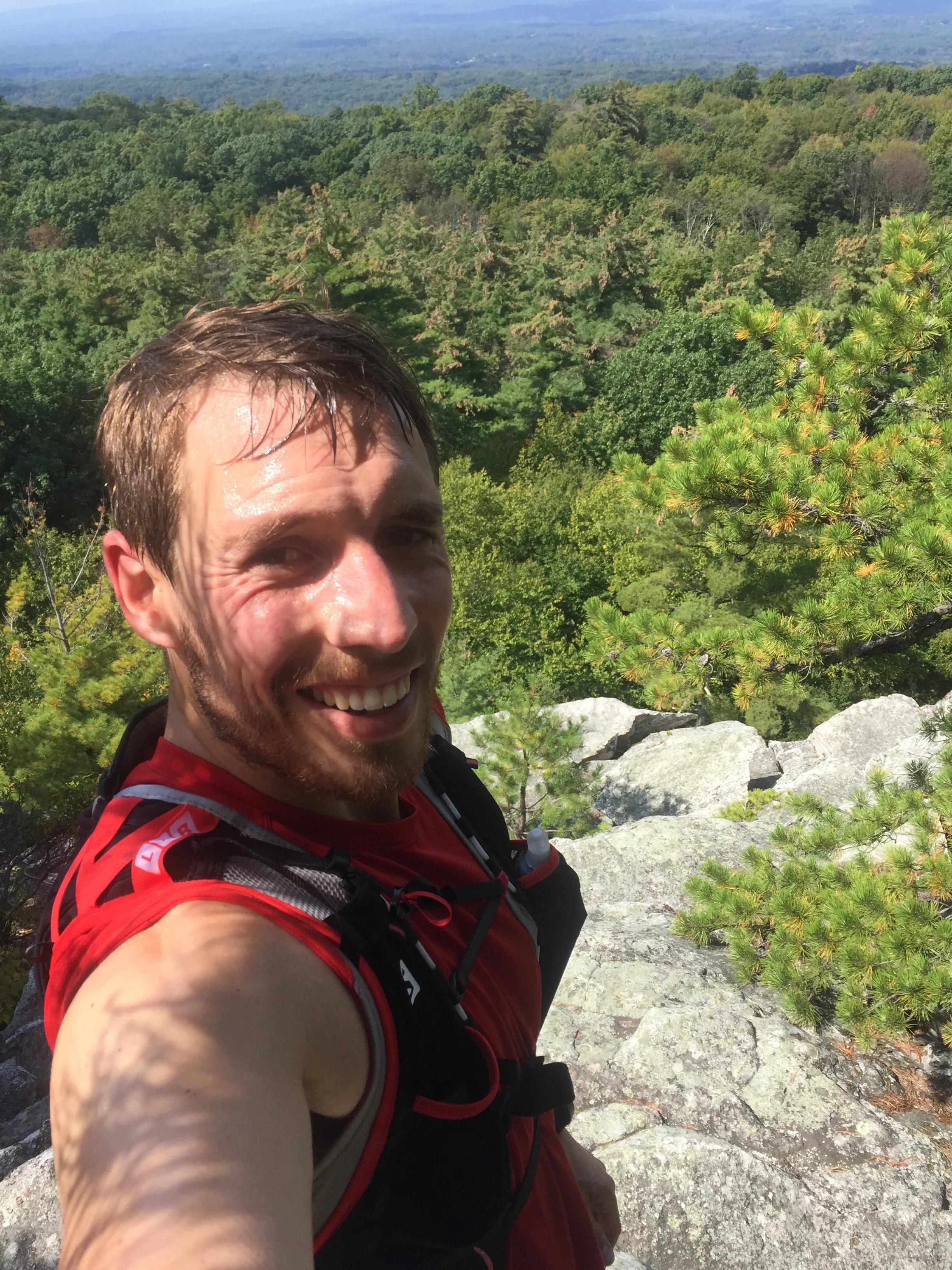
16th place in 3hrs 10mins. Shouldn't have got lost for 30 mins! 1st place was completed in 2hrs 8mins. I think i will be back for one of these events next year.
Blinded by the sun a great shot...
Got any race recommendations? Or have any questions about trail run racing?
Catskills 3500
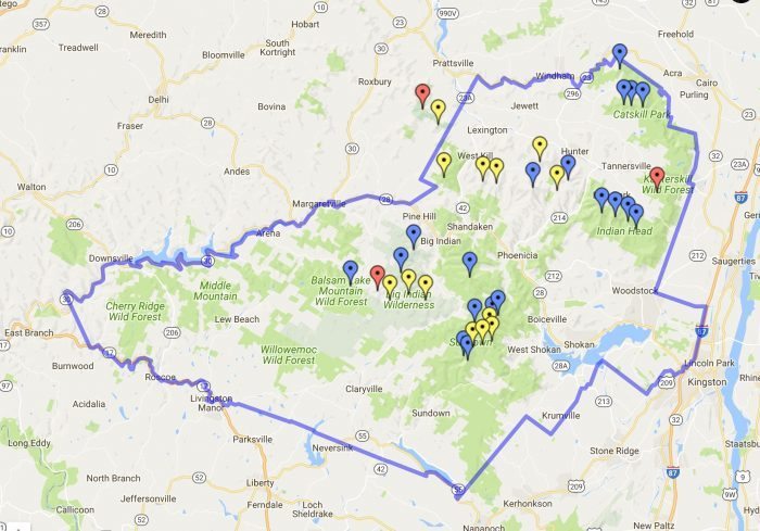
Not long after moving to the US I came across the Appalachian mountain club in my search for some backcountry skiing. After chatting with some fellow skiers they introduced me to the Catskills 3500 club. It's a group who wish to climb the highest 35 peaks in the state of New York. To "officially complete" the 35 peaks you have to repeat 4 specific ones in winter as well. Since spending more time with the guys and girls in the group many have finished their first round and are now well into multiple rounds. More on that later.
the 35 peaks within the Catskills
Every Saturday and Sunday throughout the year they have a selection of hikes. One free weekend earlier I got in touch with the groups leader. Not long later we got a reply saying we were all good to join them. These guys volunteer their personal time to take other folk up the mountains. There are of course safety briefings and waivers to be signed but none the less a cool experience just being able to rock up and meet someone who knows the mountains, surrounding areas and of course where to get some great food and drink afterwards.
First up was a couple of mountains called Vly and Bearpen. It was described as a bush wack. Sounding much more like an exploration through the Australian outback than some mountains in the north east of the USA. Which a bit like "mountains in Scotland" are not quite the alps but some brilliant playgrounds nonetheless.
Waking at the crack of dawn we made our way up north on what has become a standard weekend route. Coming across an ideally placed Starbucks on route for a coffee boost before the walk. This was also to become part of our Catskills hiking routine as long as we hadn't overslept the 5 or 5.30 am alarm on a Saturday or Sunday morning.
Rocking up we met up with a whole variety of people who had travelled from near and relatively far to hike these mountains. Unlike the vast majority of the UK version of 3000+ ft's these mountains turned out to be coated in a landscape of trees. Making it difficult to see or in some cases know when you have reached the summit.
We made our way up a muddy track past some go kart like off road vehicles making our way steadily up the mountain. The canopy of trees above us shading us from the increase heat of the sun as it began to rise above us. We soon reached the point where the "bushwack" began. A cross road and the saddle between the two peaks. Turning off the main path we wondered along what looked like a sheep track heading in a meandering fashion upwards. The odd tree marked with a blue splosh which turned out to indicate the boundary of a local land owner. The false summits came across even more bizarre as with all the trees in the way it was seriously challenging to work out whether the peak had been reached with no visual clues to go by. We passed a sign marking the crossing of 3500ft and the start of the no camping zone. Rounding the corner we came to a clearing with a can suspended high up on one of the trees. It turned out this small area marked the summit. Opening the can up we signed our names to show we had completed the hike to the top before turning back round and heading down to the saddle of the mountain. It was still mid morning as we reached the saddle. Being out in the hills in a new environment felt like an incredible experience and with it still being mid morning by the time we reached the saddle where we had cut off the main track very satisfying to think we had seized the day to get up here so early.
Vly down and on wards and up wards to Bear pen.
One of the cool aspects of these mountains is how visible the changes in flora are as the altitude and direction of the slope change. From dark and damp corners with lush vegetation dripping with droplets of water to the upper slopes covered in pines which look stunted in growth. We also witnessed areas on a number of summits showing what happens when the trees are cleared. Although revealing gorgeous views over the valley the irony is the scar left on this lookout point of a treeless, dry, bare patch of soil and rock on what otherwise from above looks like a pristine environment.
We meandered our way past a closed up cottage which made me think of the books I read on cabins in the far flung reaches of Canada and Alaska such as in call of the wild.
Heading up the hill we soon made it to the top. I was thinking it would be more like the alps with treeless summits and potentially the chance for some paragliding. Instead the narrow passages back down the mountain between trees Im sure would make for a daunting if not virtually impossible take off point. We came across another group who had a 70 and 80 year old in their group. I very much hope I'm still hiking up mountains at that age!! As we got chatting to the group it transpires one of them had once owned a now long gone ski slope that was once situated on the mountain. Some remnants of the lift we still evident on the hill side.
A quick bite to eat we headed back down the way we had come and out to the cars at the base of the hill. Our first two US 3500 footers. The day was still pretty early so we opted for searching out a good place to eat. We came across a place called the gunk house. Recommended in an awesome wee book called 36 hrs in New York and the east coast. Serving up wholesome German inspired food food overlooking mountains and apple orchards.
Now just 33 summits to complete....
Since then we have knocked off a few more and are almost half way at 23 to go.
If you are in the north east of the US check out:
http://catskill-3500-club.org/ - for the catskills 3500 club
http://www.outdoors.org/ - for the Appalachian mountain club
And for those in the UK why not set the challenge of the munros, corbetts or wainwrights
https://www.themountainguide.co.uk/highest/
Kite Skiing - In the White Mountains
For the last couple of years I have been playing around with kites trying to get into kite surfing and although I haven’t done masses it is something i have really enjoyed.
Back in the winter months I met up with Jamie from our Baffin Island expedition with the idea of heading to the white mountains for a spot of kite skiing and any other mountain activities we could squeeze into the time up there.
A couple of weeks out and the conditions were looking great. We were then hit by a heat wave as I watched the snow quickly melt. It was February and instead of spending the weekend skiing I was down on jersey shore in shorts and a t-shirt flying a kite instead.
Despite hoping for a final dump of snow it never came as we hit the road for the drive north. Conditions in Quebec looked marginally better but the additional day spent in the car wasn't going to be worthwhile. We soon found ourselves reaching our destination of Conway. A wee town with mountains on its door step.
The following day we met up with our instructor Zeb who has amassed an amazing breadth of experience in kiting and any activity that involves the mountains to the ocean. The conditions for the week were quite mixed which provided a perfect balance of classroom time going through theory of kite flying as well as working through everything kite related from setting it up to taking it down quickly and under control. All in the warmth of the mountain store.
Indoor Kiting Skills
As conditions improved we headed out to a nearby frozen potato field. Patches of ice shone turquoise blues in the sunshine. Pulling out the kites we laid them on the ground. Stretching out the lines as we had done been practising, it was certainly a different sensation doing it with large mitts on rather than board shorts . The final part of hooking ourselves in and putting our skis on.
One of the biggest differences of kite skiing vs kite surfing is you don't have the same challenges of the water start and that initial period of having to get just the right amount of pull to get yourself out of the water. Instead you are standing as we launch the kites and as soon as they pick up enough power we are soon gliding across the snow and ice.
Kiting Conway
As we got more used to the kites and conditions are confidence grew. We were soon zooming across the ice. We would occasionally hit patches of hardened ice where our skis would skip and skid as we tried to find some grip and purchase on our edges.
The next step was heading up wind. This involved digging our edges in even harder and working the kite in the wind to start tacking in the direction we wanted to head in. Bit by bit we began to get the hang of it making it slightly further up wind with each attempt. There were of course mistakes along the way as we got to grips with the setup. Factoring in trees, the large overhead watering system, the odd pipe and the occasional patch of solid ice was certainly different to kite surfing. And a bit like how I was told there are either paraglider who have hit a tree or those who will the same seems to hold true with kite skiing. As we got one of the kites spectacularly held up in one of the trees. Fortunately there was no spectacular crashes of being lifted into the air and ceremoniously dumped onto the ground.
Working our way up wind
As the week wore on our confidence grew along with our skills we were soon making it up to ends of the field we had been looking at all week. To continue spicing things up we also started including drills to take them down quickly in an emergency.
It had been a fantastic week with a huge amount to absorb but we both certainly wanted more time playing about with kites in the snow. Packing up we were sad to see the mountains grow small in the mirrors as we made our way south to warmer less mountainous areas.
Of course only a couple of weeks later the snow finally came and temperatures plummeted.
Windiest Place on Earth
Mount Washington The chance to ski on the windiest place on earth. Why wouldn’t I turn that option down.
Not long after moving to the North east I found out about an organisation called the Appalachian mountain club who were organising a ski tour up the Cog railway on mount Washington. Situated in an incredible area known as the white mountains in New Hampshire. Mount Washington I quickly discovered once had (only relatively recently beaten into second place) the highest recorded surface wind speed outside of a tropical storm coming in at 231mph.
It isn’t the closest ski area but with the warmer than usual temperatures in the north east it was always going to be about travelling further north to get the best snow possible. Unlike the previous weekend, the temperatures had certainly begun to cool down. As I started to make the drive north the weather began to change and by the end of the night it was snowing. I was seriously looking forward to getting out the car after a fairly brutal 7 hour drive after a full days work. As much as I wanted the snow I didn’t really fancy the slowing down of the journey.
OLYMPUS DIGITAL CAMERA
Arriving at the lodge I crashed out as soon as I hit the mattress, it didn’t feel like many hours later than the first people began to stir, all trying to get the best conditions for the day. Munching a quick breakfast all washed down with large mugs of coffee, I made my way to the meeting point. Now despite it once having the highest recorded wind speed on earth there is still a railway to the summit along with an access road. Our plan was to follow the train tracks up the mountain and once out of the tree line see what the conditions were like. Summiting was highly unlikely with forecasts of high winds and a thick layer of cloud covering it.
DSC04796
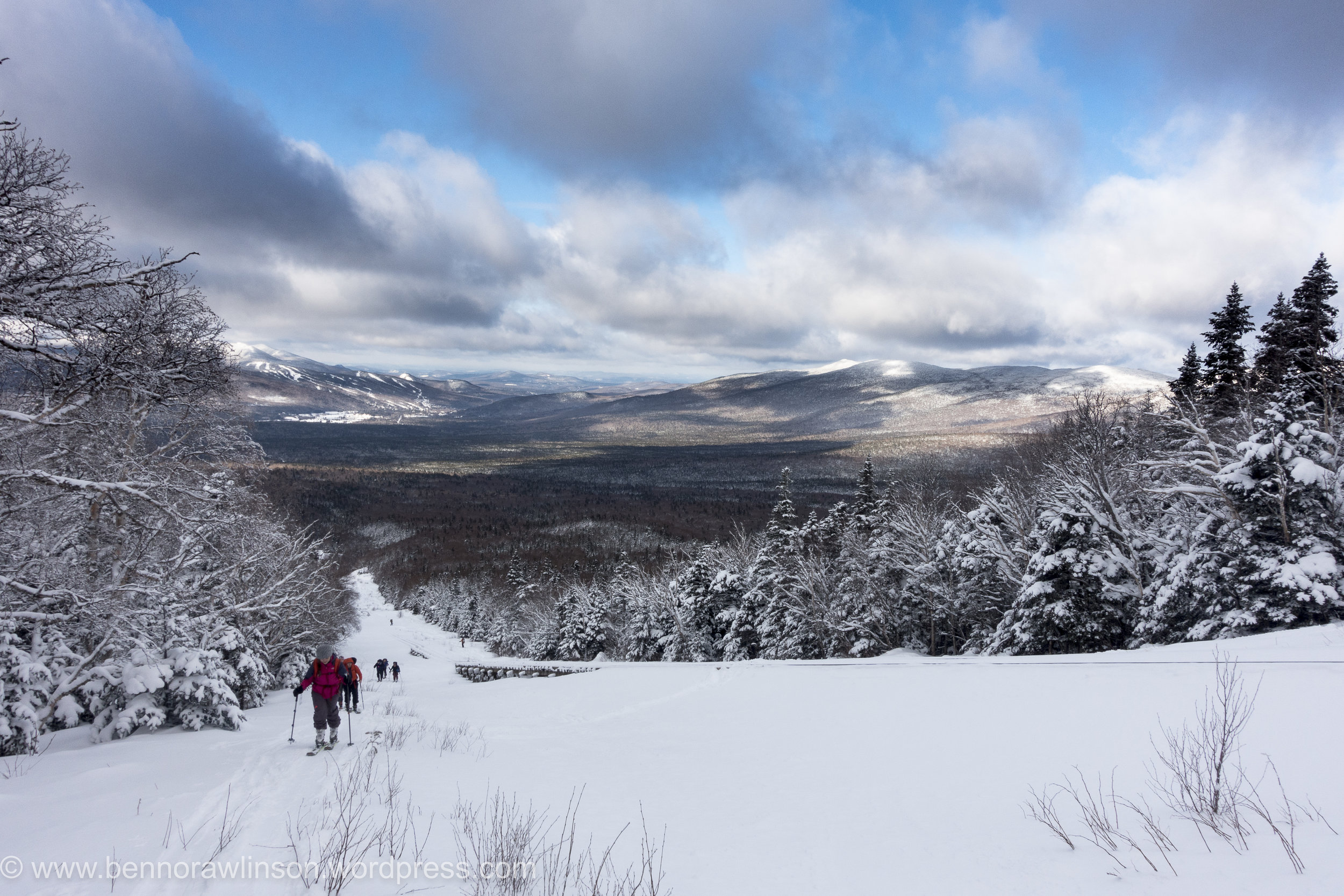
I had enjoyed the ski mountaineering racing but this was a completely different experience again. The pace obviously much more sedate with the emphasis being on efficiency and trying not to sweat. Compared to my race strategy of trying to go as fast and efficiently as possible. Which was more of a brute strength and endurance exercise. And certainly less care for the amount of sweating going on. It was however a lot colder, hovering around the -5 to -15F , a balmy -20 to -26C and the wind chill on top. Despite this it still felt quite warm as we meandered up hill surrounded by trees which looked incredible. Like frozen statues dotted all the way up the mountain side. Pausing occasionally to have a drink and admire the views behind and in front of us, despite the large bank of clouds hiding the summit. It wasn’t the blue bird day we had all hoped for but still fantastic being out on the mountain.
DSC04805
Arriving at the first split point and we soon bundled up as the temperature plummeted. We had come out of the trees and the wind now had us in its sights. The rail line had clearly taken the full force of this onslaught for quite a while as its frozen structure looked like something from another planet. Not even in the arctic had I seen buildings covered in ice to this extent.
DSC04807
DSC04815
DSC04812
A few of us opted to continue slightly further up the mountainside. It is safe to say we needn’t have bothered. All that proceed was some skating around on an icy surface of wind stripped mountainside. We tried to get purchase on what little friction we could get but despite this effort we hardly made it any further up for a lot more huffing and puffing. With the wind battering our faces and bodies it was only sensible to head back down. There was no chance of a summit today and the possibility of some better powder round the corner was never going to happen without some more hardware of ice axes and crampons. Even then we were not convinced there would be any great powder.
It was a quick turn around to get out the wind. I say quick but the ice and strong winds made it tough work wrapping up our ski skins to get them put away. Its like trying to roll loose duck tape up in a strong gale into a neat organised bundle.
And then the bit we had built up for, the ski down. Despite the odd patch of ice there were some great stretches of powder. The three of us who had tried to go a bit higher made the most of the descent getting in as many tight wee turns to float on the powder. In the hunt for some I managed to find a fairly lightly covered rock. Skiing over it I stopped almost instantly, trying to recover my balance from the forward momentum only to finally pop out of my bindings. Unfortunately one of the guys saw the whole thing unfold in a particularly slow and inelegant fashion.
DSC04821
We made it down to the bottom and back to the lodge for a well deserved hot shower and drink.
The next day I headed up to the in famous tuckermanns ravine. You can check out a couple of pro skiers hitting this on the link below:
https://www.youtube.com/watch?v=CM7YknhIKeU
It isn’t recommended generally to ski it until later in the season but whilst in the area I at least wanted to have a peek at what it was all about. I followed the trail up which is incredibly well marked. Past people snow shoeing up and a number of groups up for the weekend as part of a nearby ice festival learning about avalanche rescue techniques. The wind certainly felt less strong and it was definitely a warmer day than the previous one. Snow occasionally fell from the trees. It was a pretty magical sight.
DSC04829
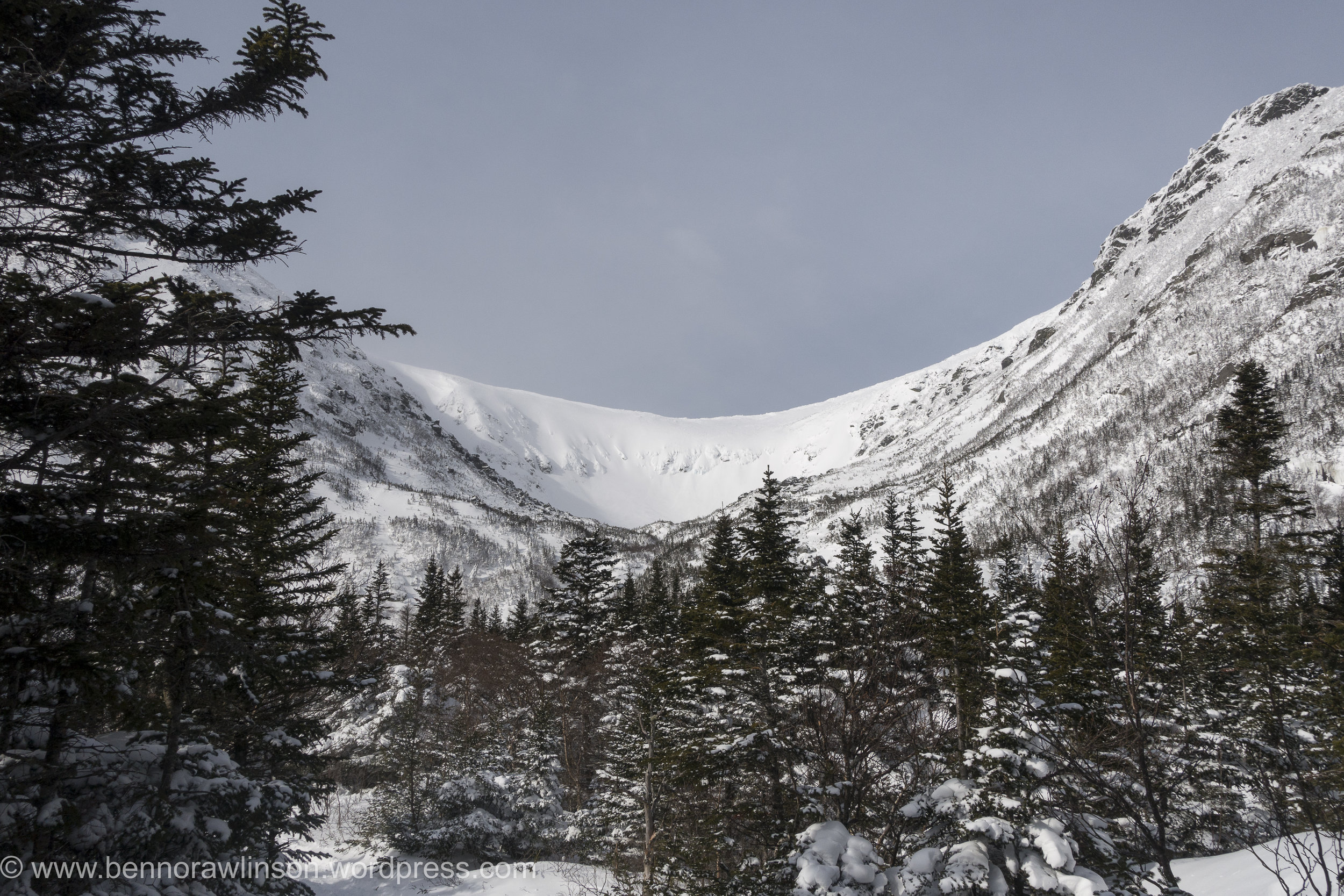
Slowly but surely the ravine revealed itself. Each glimpse between the trees showing a bit more until I came round the corner and caught sight of the whole area. With clear views of the summit of mount washington in the background. There in front the huge tuckermanns ravine and the steepest ski descents in the north east, or at least one of the better known ones.
DSC04830
Arriving at a small cabin and there were groups continuing up as part of their avalanche course as well as some skiers who despite the now windy conditions had opted to try a few routes. It looked pretty incredible and in places pretty intimidating even from a distance. I headed on up the mountain as I wanted to see the full face of it. Some of the slopes are up at 40 - 50 degree range. The wind had certainly picked up though and I was now taking a bit of a beating even if it was warmer than the previous day. Arriving at the bottom of tuckermanns and I could finally take it it. I definitely want to return to the slopes here and take on some of these descents.
DSC04832
Heading back down the mountain and my legs could finally enjoy a bit of a down hill ski. After trekking up it made for a nice change. Despite this I still had to walk a few bits at the top due to not being able to find a decent route to ski down as well as the path I walked up being really quite tight between rocks, trees and a small stream that with the warmer conditions wasn’t completely covered in snow.
C43A2315
I soon found myself down the bottom of the mountain just in time to munch a load of food in the car and before the return journey back down south to new jersey.
Skimo - Berkshire East
Over the last few years there has been a huge increase in the number of ultra running races and trail races around the world with people looking beyond the standard road marathon to get their athletic fix. Regardless of what I do the option to go out running in the hills and mountains is always tempting.
The winter months give an opportunity for some down time, change the activity or generally prepare the coming season. For a while now I have been reading and watching more about skimo racing also known as randonee and ski mountaineering. Which from a racing stand point and ignoring the degrees of difference in technical descents and ascents basically involves hiking up hill either boot packing (going up hill with skis on your back), skinning (ski up hill with special material on the base of the skis called skins) and then descending the mountains as fast as you can.
When I moved to the north east of the U.S. and with the mountains nearby I went about searching for an event to enter. I found the north east rando race series. A series of events around the north east of the US and the timing was perfect. My first weekend in the U.S and there was an event on.
With snacks for the drive bought, I woke in the early hours of the morning to make the 4 hour drive up the road. The conditions over the last few weeks had been warm and the day was looking to continue this trend.
Despite this there was still a chill in the morning air and with this came the occasional blanket of fog which made for some spectacular scenery particularly where there were small clearings.
Arriving at Berkshire east and there was one guy making an early start on the course in shorts and t-shirt. Which was a long way of my ski trousers and jacket. I hoped the day would stay cold, otherwise I was going to be ridiculously hot scaling the mountain. After getting organised it was time to start the race amongst a group of people ranging from the lycra clad to the occasional ski tourer.
Making a dash up the mountain the group soon dispersed as we made our first lap up the mountain. Before the first corner my jacket was as off and for the ascents only my helmet soon came off too. It was sweltering. First up hill done and it was the transition back to skiing down hill. The skins were off the bottom of the skis and everything switched back into ski mode for a brief ski half way down the mountain. This sounds much quicker than it was in practise, initially with the skins flapping all over the place nothing helps speed things up with either bad weather or the time pressure of a race. That and a desire to cool down on the descent. It was then a walking stage up a steep wooded part of the route with our skis on our backs before we exited the forest and could get ours ski’s back onto ski touring mode for the last bit back to the top of the mountain. Skins off and it was time to go full speed down to the bottom of the mountain to repeat this a three more times. On the way up I ended up chatting to one of the local ski patrollers and another guy who turned out to be the owner of the ski resort which passed the time and made sure we were going at a steady pace up hill. With the U.S elections only just completed it was certainly interesting to start getting more of a local insight into it.
With the day heating up I stopped to get some water from a nearby stream having used up my small water bottle over the first few laps. Despite it being in january most people had switched to open jackets or just a thin shirt. One guy had even opted to go topless.
After the third lap it was time to head to the second stage of the race on the other side of the mountain. Amazingly some people had already finished. The skiing down became increasingly harder as my legs became more tired. This was my first ski day of the season, ski touring race and I had literally arrived in the US three days earlier.
Despite this i finished the final couple of laps and very quickly ended up in the cafe for a well deserved feast of food before the prize giving. It was at this point I realised the quality of the field. Ranging from those competing for positions in the US team to the previous record holder Ed Warren for the fastest ascent of Denali before this was taken by Kilian Jornet. Certainly an impressive range of athletes.
All in all I seriously enjoyed the north east rando race and will certainly be working out how to fill the next seasons schedule with races. It mixes mountains, skiing and running into a pretty epic combination. By the end I was sufficiently knackered, yet despite this my legs still felt good enough the following day to tear through some laps of a nearby mountain before the rain descended on the area. I can certainly see why this is the perfect winter trainer or event in its own right when you have mountains nearby.
Bring on the next season.
For those interested check out:
http://nerandorace.blogspot.com
and for those in the UK there is always the Scottish one:
http://www.skimoscotland.co.uk
A long day in the Ben Lawers
With a waterproof map case at the ready this time we headed back to where we had started he previous day. It was a bit of a déjà vu. The weather hadn't really improved but we set our sights on the Ben Lawers and the first summit of Beinn Ghlas opposite the previous day's attempt. All being well we would continue on peak by peak and see how we got on with the aim of doing a wee circuit.
The first part of the walk took a route through a protected part of the hill. It was amazing to see how diverse the wildlife was there compared to the normal heather covered hills. Would be awesome to see those areas increased!
Heading on up we were in the shelter from the wind heading up switch backs towards the summit. We soon arrived, feeling good and the weather not being too bad despite being wet, windy and very cloudy we continued on.
Heading up Ben Lawers was equally quick. With no spectacular views to be distracted by we headed on to An Stuc. The route up was fine then coming over the summit the track leads down a crumbling, rocky and steep path. Fortunately it was in the lee side of the wind, it was certainly an interesting route down and one I would say was much more challenging than some of the ridge scrambles I have done in the past. Making our way down we soon reached the next shoulder to make out way a long.
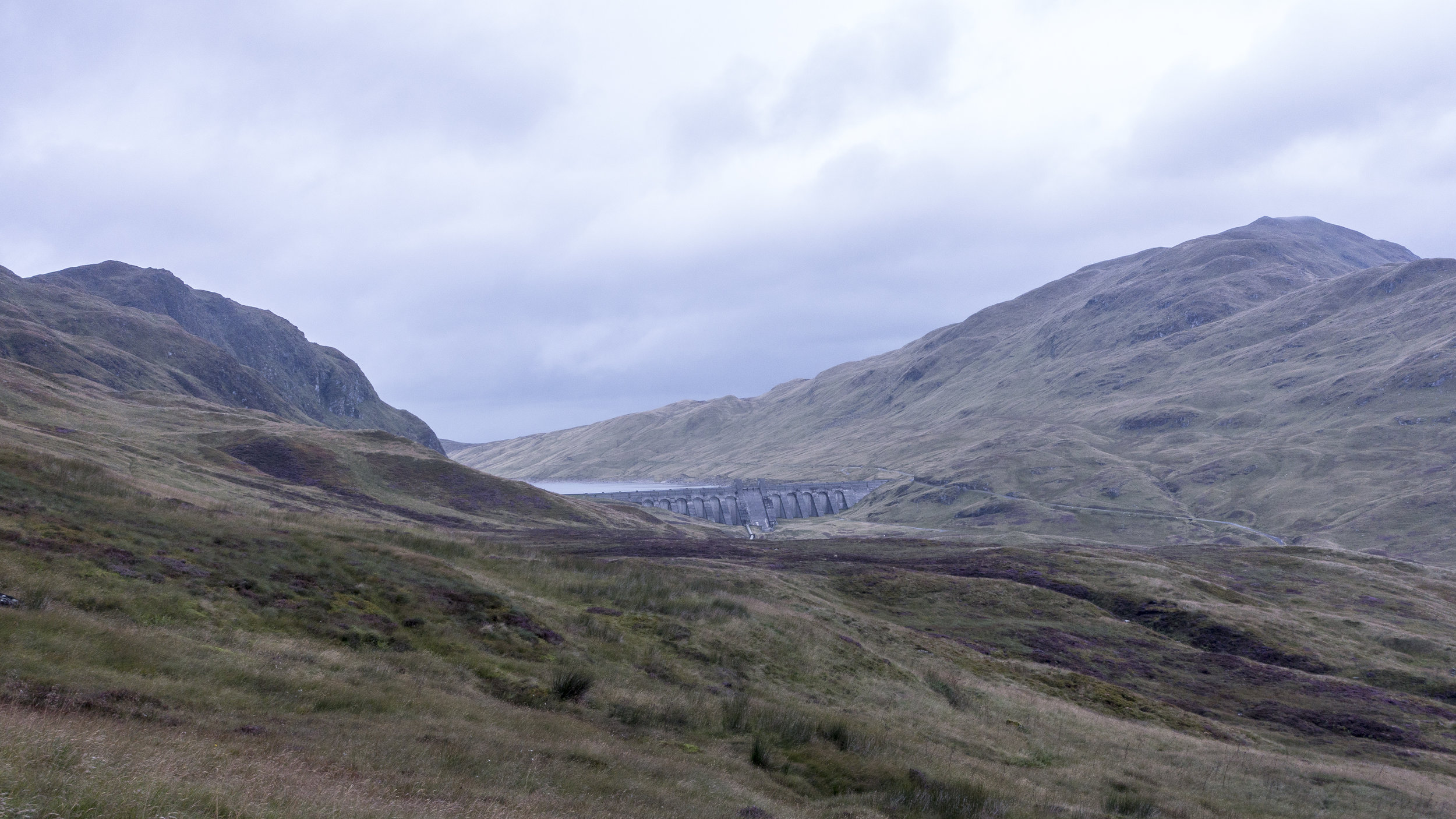
Our route then slowly took us back up to the top of Meall Garbh. The temperature had begun to drop and the wind picked up. We huddled just beyond the summit having a munch to eat and a check of the map for our route. Following a fence line almost all the way to the summit of the final rolling mounds of the last Munro of the day. This section of the route was one of the wetter and muddier parts of the day. With our boots sinking into the thick peattie mud. Some areas previous people had dropped leftover planks and fence posts into some of the more boggy areas in an attempt to create a basic bridge across. These made for a fun balancing act mid walk. Marching on up the final ascent we reached the top where we were finally below the cloud level and could admire the route we had take along the ridge line. A quick bite to eat before dashing down the hillside to a small track servicing a number of mini dams along the hillside. It was an interesting network of mini dams spread across the all the main tributaries and redirecting the water back to a few main dammed up areas. It was pretty impressive. Trekking along and soon the heavens opened. After being dry most of the day we were soon walking a long hoods up and very much looking forward to a hearty evening meal.
We had been using a cicerone guide to the region which suggested taking a beeline traversing around the hillside along a back to the car park. In principle it was a good idea. It was the most direct route. However once we started it proved to be slow going. With a number of small ravines to negotiate along with the sodden ground our boots and clothing were soon clean of any mud. My ankle still recovering from the previous event didn't appreciate the unevenness of the ground and despite the drop in height we opted to get into the road as soon as possible before regaining the height. In retrospect it might have been quicker heading all the way down to the loch side before heading back along to the turn off.
Making back to the car we were one of the last out of the car park. It had been a fantastic day. Although we weren't initially sure about heading round the full ridge it was certainly worthwhile.
Munro's:
An Stuc
Beinn Ghlas
Ben Lawers
Meall Garbh
Meall Greigh
Although the week hadn't gone quite as we had planned we had achieved between us the total of 30 munros in a week as part of a celebration for our 30th this year. Made me really appreciate the effort that it would take to take on something like the bob graham or the Ramsey round.
Weather is on the Change
Looking at the mountain weather forecast for the coming days was not great reading. Cloud free summits at between 10% and 30%, rain heavy at times and wind speeds hitting gale force levels as the days went on. Perfect Scottish walking conditions.
The plan was to go for 4 munros for the day. Heading up the valley we soon spotted a vey clear path on the opposite side of the river to the part we were walking on. Our track soon came to an end as we trudged back to the start.
Finding our way through yet more wet sticky bog to reach the path we had seen became an interesting challenge in itself with elements of the route feeling more like a series of small streams. We finally made it onto the path and route up the valley we had spotted previously. It was also at this point that we spotted the route we could have taken if we had continued slightly further a long our original route on the other side of the river.
All about us small streams trickled off the mountain side allowing us to stop for an occasional drink from these whilst basking in the sunshine. It was starting out to be a glorious day. Heading up the onto the saddle between a few hills the wind hit us. Clearly we had been sheltered by this in the lower valley.
A head of us lay a large swathe of boggy ground before the initial ascent of ciste dubh. The start of the route zig zagged its way up through soft, thick brown sludge. As we came over a crest of the main ridge taking us too the top lay in front of us. It was a spectacular sight.
Overhead the clouds were beginning to build and the wind pick up. We continued trudging on up with a shear drop to one side and a steep slope to the other and views over the nearby lochs it was building up to be the favourite summit of the tour. The thought of these being snow covered and skiing down these slopes would be incredible with the right conditions.
The final part of the ridge was marked by a series of false summits. Each once getting our hopes up before another peaked its head above again. Finally reaching the top, the views were spectacular. After spending the previous day on a ridge line being on a single Munro surrounded by the other peaks was incredible despite meaning we had to go all the way back down before making another ascent.
Despite some of the challenges on the way up, the down was remarkably quick. And we were soon heading up the other side, a steep grassy slope towards the next summit. The winds were really beginning to build up and we only stopped briefly at the top before heading up toward the next summit. As we dropped onto the saddle the winds would increase until we were back into the shade of the ascent. Each time we got buffeted by the wind the temperature would plummet.
We were on a role but as we made our way towards the third summit of the day the wind was beginning to be a considerable force which with a considerable drop on the down wind side was certainly less than welcome. The winds were due to pick up to around 50mph. With this beginning to occur and a natural route down off the hills we made the decision to call it a day and head down.
The route off was initially a lot better than the previous day with a gentle decent back into the valley. This became less than ideal as we hit a fenced off wood land. Skirting round this was definitely possible but the ground was sodden and despite the wet weather a number of bugs and beetles sought refuge in our clothing, faces and hair. You could feeling them crawling all over us. Each one raising a number of expletives as we were attacked from all angles and our feet sank deep into muddy puddles.Hitting the main road was a delight.
Despite our delight it was short lived as we became shocked at the amount of rubbish that lay just next to the roadside amongst the beautiful highlands.
Don't leave a trace.
Munro's
Ciste Dhubh
Aonach Meadhoin
Visiting far places and cycling Great Glens
After a day of enforced rest due to yet more high winds. We opted for a tour to the furthest westerly point in mainland UK. Ardnamurchan.
This gorgeous peninsular involved a short ferry trip before creeping along the roads that meandered along the coastline. It was gorgeous particularly as the colours were changing as autumn approached. Behind us lay a bank of cloud while the sun shone down on this peninsular.
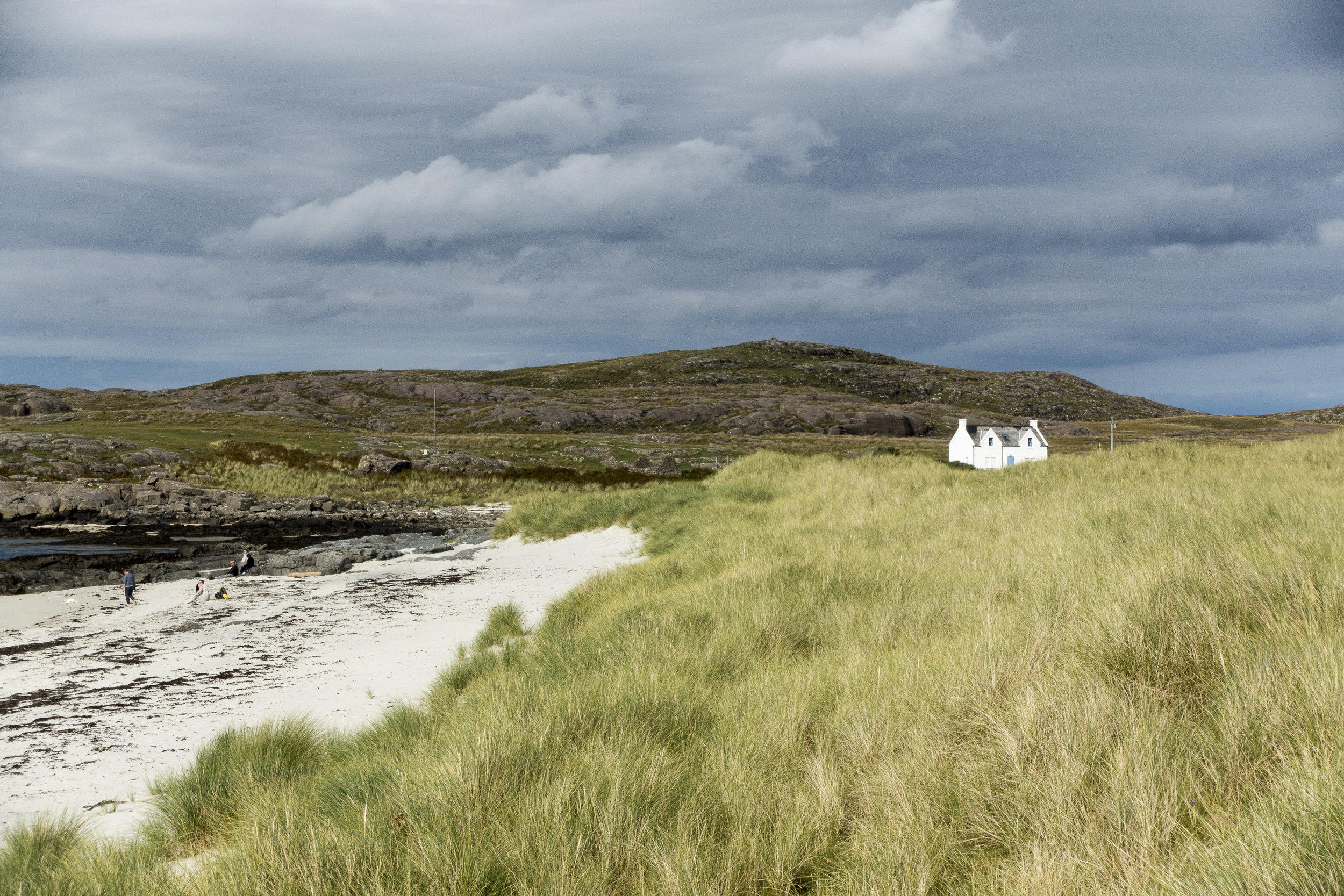
We finally arrived at the end point. A lighthouse perched on a rocky outcrop and protected on all sides by stone built walls. We even became aquatinted to the local goat population. Before heading to a nearby beach to enjoy the white sandy beaches of Scotland. Almost like Barbados just a tad on the cooler side of things.
The next day we woke early from our cosy glamping hut at wigwam. Our sights set on some nearby hills. Coming to our first option the wind began to increase and so we adapted our plan to a nearby summit. Later we found out this one was renowned for being windy. Making our way up the wind was increasing dramatically and the cloud level dropping. As we got closer to the top and with and the wind increasing substantially I thought it wiser to come down rather than to keep slogging for the sake of it. We managed it a few days later under slightly calmer conditions. The route up would have been ok particularly as the slightly more technical part of the route was in the lee of the wind.
We made up for it with a fantastic cycle from Killin to Lochearnhead along a fantastic cycle route. The going was great heading quickly through the valley past streams and squeezing over cattle grids. We came across a Canadian cycling round Europe and was looking to head further north before it became too cold we headed our separate ways wishing him luck. With only an occasional shower and with the sun poking its head out we could enjoy the change of pace. Turning round we realised it had been a bit more of a downhill than we realised and the wind had been behind us. It was going to be tight with the bike hire place shutting. The last mile we lost our luck with the weather and it chucked it down.
Finishing up we headed to our accommodation for the night. With views over the loch it was a gorgeous setting despite the clouds.
We certainly felt fresher for the more relaxed day and the cosy accommodation.
Munro Bagging
c43a1977
We started the week with an ambitious plan of routes, with the aim of bagging as many munro's as we could whilst meandering our way through the Scottish highlands. We had slight trepidation with the weather set to change for the worst. After a couple of weeks of good weather and the bank holiday on the horizon it was a big ask for a further week of dry weather.
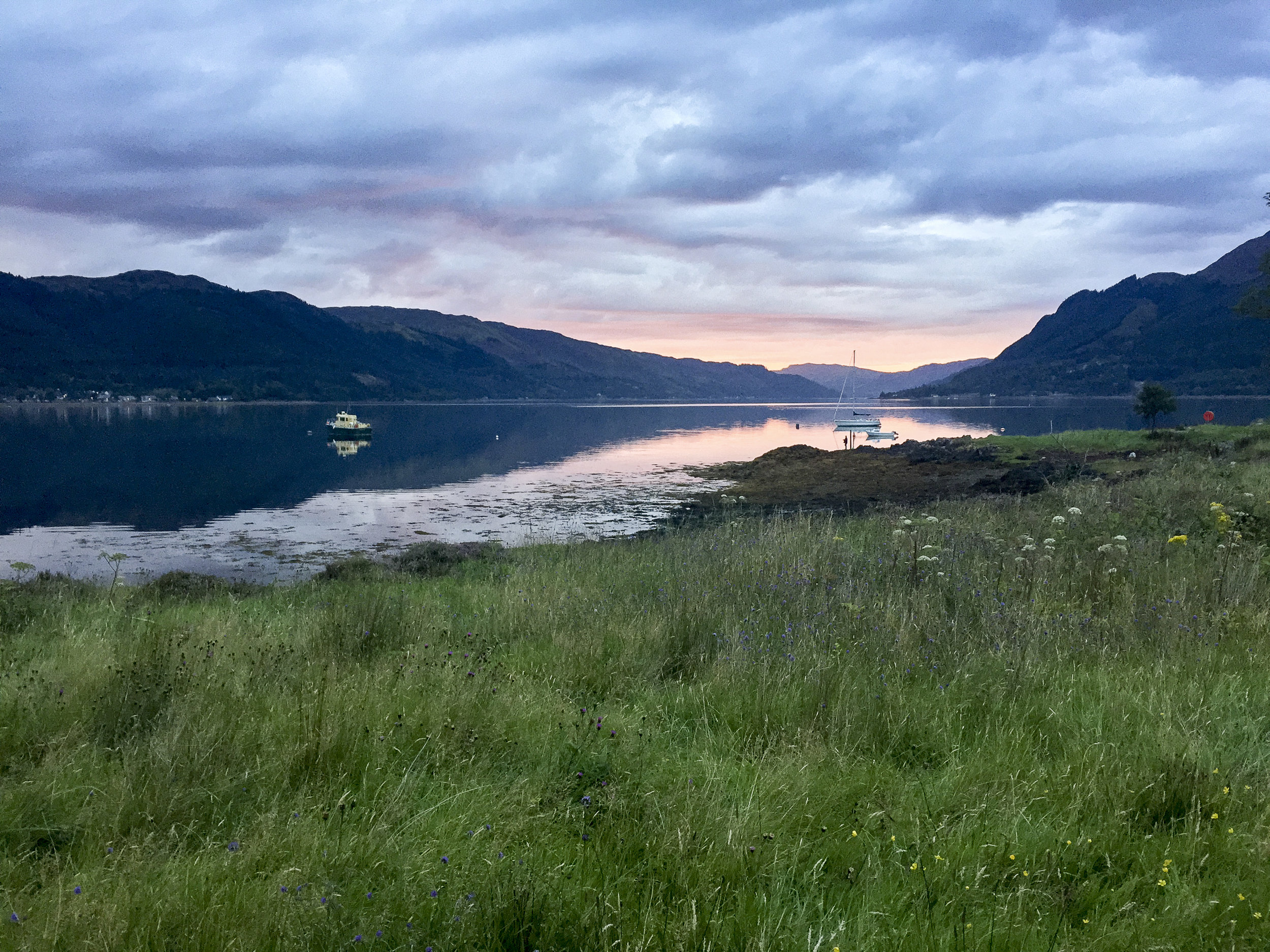
Setting off for the most northerly point on our quest in our trusty Landy towards Glen Shiel and the gateway to the Isle of Skye. Arriving to a glorious evening where we ate at the nearby pub over looking Loch Duich before preparing for the next days long outing.
IMG_4772.jpg
We woke the next morning to an autumnal feel. Dew glistened on the grass and leaves whilst the colours looked like they were changing to slight hues of reds, oranges and yellows. It was looking to be a perfect day for a walk. Arriving at the start point we noticed a few other walkers covered from head to toe as if it was a freezing day. Getting out of the car we soon realised why they were covered as the Scottish midges were out and descended on us as fresh targets. I was nibbled within the few minutes I left my arms exposed.
IMG_4784.jpg
To escape the midges we quickly departed the car park and headed the meandering path towards the foot of the first munro. With hardly a breathe of wind we could hardly enjoy the view for a moment before they descended on us again, trying to nibble any exposed skin. The path began to zig zagging its way up onto the ridge line where we were to follow for the day.
DSC04715.jpg
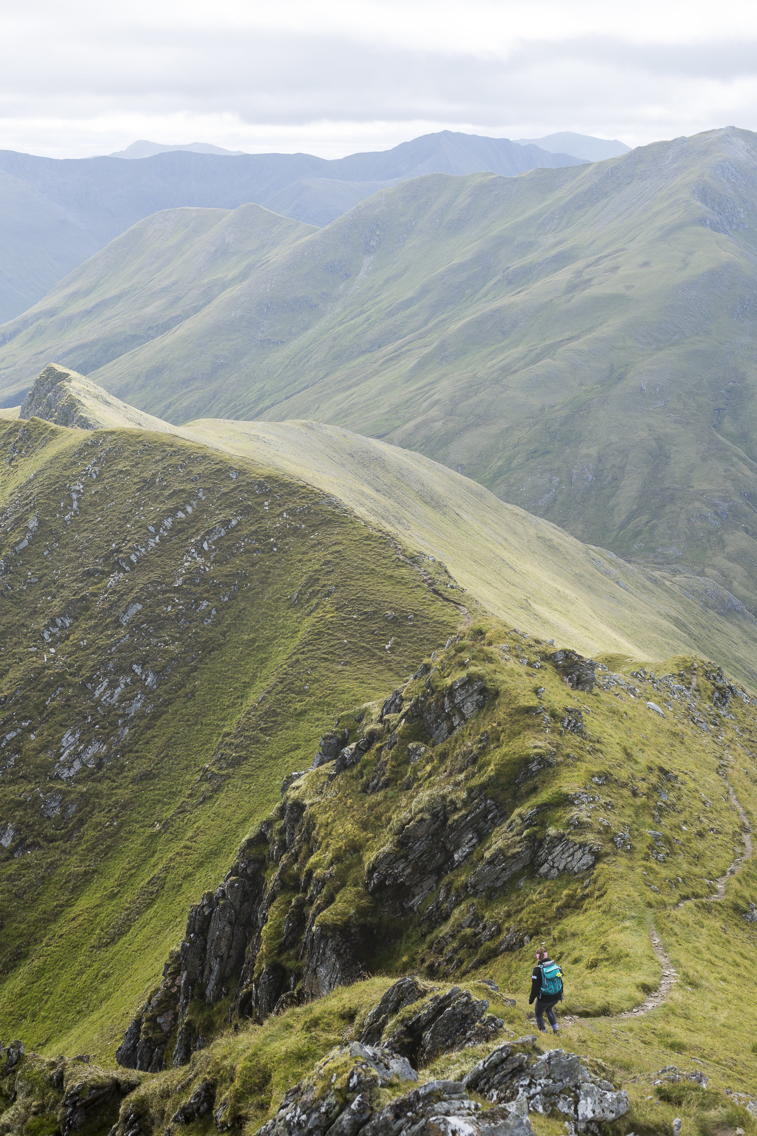
Seven munro's stood before us on the South Glen Shiel ridge. Each hidden by the one before preventing us from seeing our finish point, which we were very thankful of in many ways. The day turned out to be a scorcher as our water began to run low and we certainly heated up. Each summit was a mixture of rounded tops to the odd scramble. Despite this we met a few other walkers including a group on very good form despite not liking the occasional element of exposure.
DSC04736.jpg
C43A1972.jpg
IMG_4788.jpg
DSC04719.jpg
DSC04708.jpg
C43A1975.jpg
After a day of relatively good weather the final summit clouded over. With the guide book advising on a more direct route down to the main road we made a bid in this direction and soon picked up the start of a rough path. This however disappeared clearly at a point where people either turned back or everyone took on the ethos of "everyone for themselves". Making our down steep boggy ground with no signs of it finishing. Until we came across a sheep track that meander alongside a beautiful stream where we could top up on some more water. Not without its challenges as the bottle top fell off and floated down stream before securing it with a walking pole before it descended the next small water fall. The final section finished with a small detour through woodland. Slipping and sliding our way down through the wet under growth before arriving at the road side. We had been joined by a couple from Edinburgh for the final descent who we had a quick celebration with before attempting to hitch hike back to the cars to finish the evening.
img_4797
The pint of coke in the bar never tasted so good.
7 munro's down:
Creag a' Mhaim,
Druim Shionnach
Anoach Air Chrith
Maol Chinn-dearg
Sgurr an Doire Leathain
Sgurr an Lochain
Creag nan Damh
Screen Shot 2017-02-04 at 22.25.40.png


